Gouda, South Holland, Netherlands — Northwestern Europe
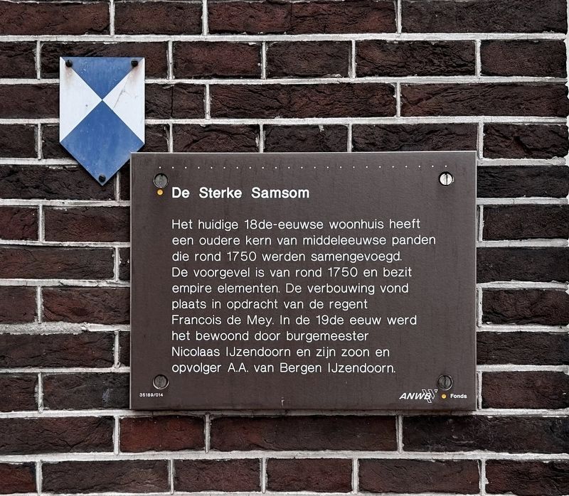
De Sterke Samsom
Photographed by Andrew Ruppenstein, September 2, 2026
1. De Sterke Samsom Marker

Het huidige 18de-eeuwse woonhuis heeft een oudere kern van middeleeuwse panden die rond 1750 werden samengevoegd. De voorgevel is van rond 1750 en bezit empire elementen. De verbouwing vond plaats in opdracht van de regent Francois de Mey. In de 19de eeuw werd het bewoond door burgemeester Nicolaas IJzendoorn en zijn zoon en opvolger A.A. van Bergen IJzendoorn.
Erected by the ANWB, VVV. (Marker Number 35169/014.)
Topics. This historical marker is listed in these topic lists: Architecture • Education • Notable Buildings. A significant historical year for this entry is 1750.
Location. 52° 0.449′ N, 4° 42.821′ E. Marker is in Gouda, Zuid-Holland (South Holland). It is on Oosthaven, on the right when traveling
this page online

Regionally, it is in Europe, the European Union, Atlantic Europe, the Benelux Low Countries, the Schengen Area, Western Europe, and the Western World. Historically, it finds itself in what was once the Roman Empire and specifically also the Holy Roman Empire.
Other nearby markers. At least 8 other markers are within walking distance of this marker: Nieuwe Veerstal en bolwerk de Punt / New Veerstal and the 'De Punt' Bastion (within shouting distance of this marker); Pieter Hugesztoren / Pieter Hugesz Tower (within shouting distance of this marker); Veerstalpoort of Waterpoort / Veerstal Gate or Water Gate (about 90 meters away, measured in a direct line); Mallegatsluis / Mallegat Lock (about 180 meters away); Voormalig postkantoor / Former Post Office (about 180 meters away); Erasmus: Westhaven (about 180 meters away); Woonhuis van Arie Blanken / Residence of Arie Blanken (about 210 meters away); Gebouw de Haven / De Haven Building (about 210 meters away). Touch for a list and map
Photographed by Andrew Ruppenstein, September 2, 2026
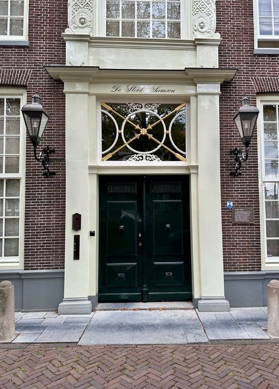
2. De Sterke Samsom Marker - wide view
Also see . . . De Sterke Samson (Wikipedia, in Dutch). Excerpt (in translation):
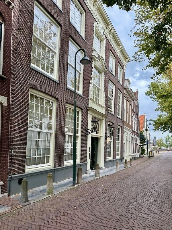
"De Sterke Samsom" is the name of a patrician house located on the Oosthaven in the Dutch city of Gouda; in the 19th century, it served as the mayor's residence.(Submitted on September 19, 2026.)
The building has served various functions over time; for instance, a boarding school for girls was housed there in the 17th century. In the mid-18th century, several medieval buildings on the Oosthaven were combined into a single residence at the behest of the Gouda regent Francois de Mey. The façade dates from this period. In the 19th century, it became the official residence of Gouda's mayor, Nicolaas IJzendoorn. His son, Albertus Adrianus van Bergen IJzendoorn—who succeeded him as mayor—also used the house as his official residence. He bequeathed the garden located behind the house to the municipality of Gouda. Following his death in 1895, the garden was incorporated into the Houtmansplantsoen park. In 1927, Egbertus Gerrit Gaarlandt was appointed mayor of Gouda, and "De Sterke Samsom" came into his possession. Gaarlandt made the building available tothe Goudsche Industrie- en Huishoudschool (“Gouda Industrial and Domestic Science School”). After extensive renovations by architect D. Stuurman, the school opened in 1932. The school vacated the premises in 1952 and began operating as the Algemene School voor Lager en Middelbaar Beroepsonderwijs 'De Breevaart' (General School for Primary and Secondary Vocational Education 'De Breevaart') at Jan van Renesseplein 1 in Gouda.Photographed by Andrew Ruppenstein, September 2, 20263. De Sterke Samsom building and marker
In the 20th century, the Gouda-based painter Carla Rodenberg lived and worked illegally in "De Sterke Samsom" for many years.
Credits. This page was last revised on September 19, 2026. It was originally submitted on September 19, 2026, by Andrew Ruppenstein of Lamorinda, California. This page has been viewed 4 times since then. Photos: 1, 2, 3. submitted on September 19, 2026, by Andrew Ruppenstein of Lamorinda, California.
