Ouderkerk aan de Amstel in Ouder-Amstel, North Holland, Netherlands — Northwestern Europe
Hooger-Lust
Photographed by Andrew Ruppenstein, September 1, 2026
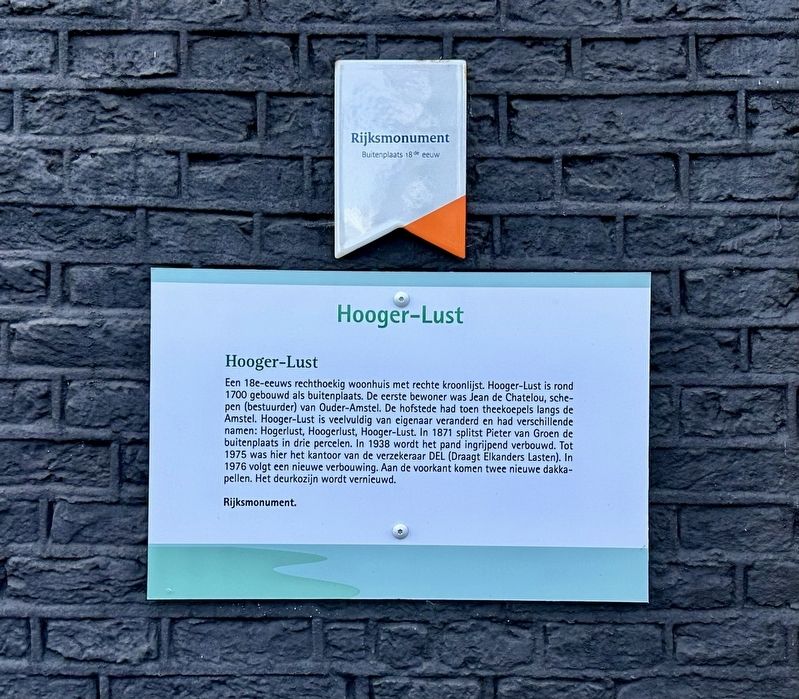
1. Hooger-Lust Marker

Een 18e-eeuws rechthoekig woonhuis met rechte kroonlijst. Hooger-Lust is rond 1700 gebouwd als buitenplaats. De eerste bewoner was Jean de Chatelou, sche- pen (bestuurder) van Ouder-Amstel. De hofstede had toen theekoepels langs de Amstel. Hooger-Lust is veelvuldig van eigenaar veranderd en had verschillende namen: Hogerlust, Hoogerlust, Hooger-Lust. In 1871 splitst Pieter van Groen de buitenplaats in drie percelen. In 1938 wordt het pand ingrijpend verbouwd. Tot 1975 was hier het kantoor van de verzekeraar DEL (Draagt Elkanders Lasten). In 1976 volgt een nieuwe verbouwing. Aan de voorkant komen twee nieuwe dakka- pellen. Het deurkozijn wordt vernieuwd.
Rijksmonument.
An 18th-century rectangular house with a straight cornice. Hooger-Lust was built around 1700 as a country estate. Its first resident was Jean de Chatelou, an alderman (administrator) of Ouder-Amstel. At that time, the estate featured tea pavilions along the Amstel River. Hooger-Lust changed hands frequently and went by various names: Hogerlust, Hoogerlust, and Hooger-Lust. In 1871, Pieter van Groen
this page online
National monument.
Topics. This historical marker is listed in this topic list: Notable Places. A significant historical year for this entry is 1700.
Location. 52° 17.87′ N, 4° 54.087′ E. Marker is in Ouderkerk aan de Amstel, Noord-Holland (North Holland), in Ouder-Amstel. It is at the intersection of Hoger Einde-Zuid and Gijsbrecht van Aemstelstraat, on the right when traveling south on Hoger Einde-Zuid. Touch for map. Marker is at or near this postal address: Hoger Einde-Zuid 6, Ouderkerk aan de Amstel, Noord-Holland 1191 AG, Netherlands. Touch for directions.

Regionally, it is in Europe, the European Union, Atlantic Europe, the Benelux Low Countries, the Schengen Area, Western Europe, and the Western World. Historically, it finds itself in what was once the Holy Roman Empire.
Other nearby markers. At least
Photographed by Andrew Ruppenstein, September 1, 2026
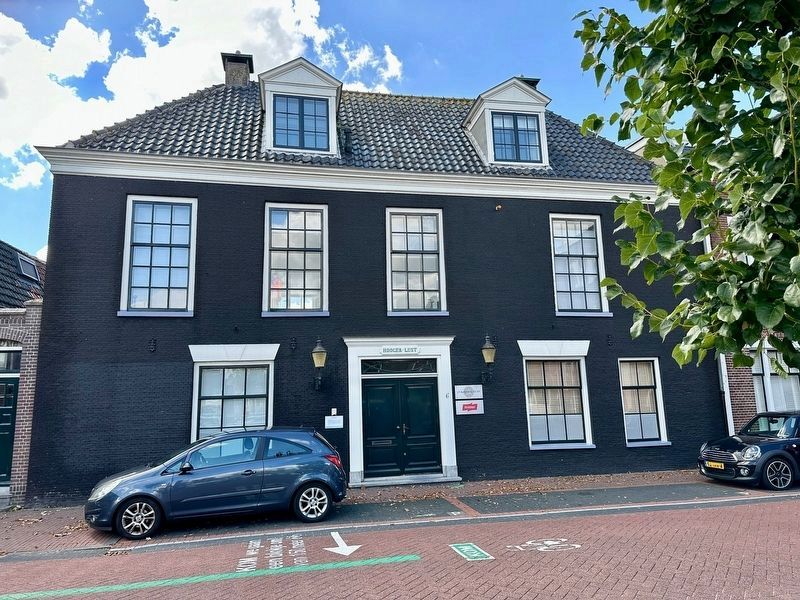
2. Hooger-Lust and marker
The marker is visible here just to the left of the door
Also see . . . Hooger-Lust (Historisch Amstelland, in Dutch). Excerpt (in translation):
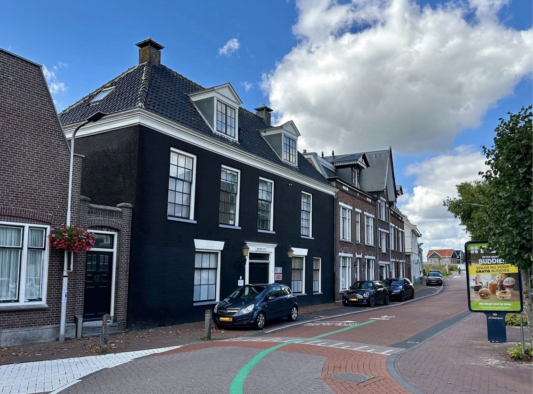
Pleasure Estate: Hooger-Lust is an 18th-century rectangular residence featuring a straight cornice. The house was likely built around 1700 as a country estate (or buitenplaats). It is a listed national monument (Rijksmonument 31955). Its first resident was Jean de Chatelou, who served for many years in the 17th century as an alderman (schepen) of(Submitted on September 20, 2026.)Ouder-Amstel; he already owned the plot in 1693. The house appears in a print from 1726, which depicts the estate—complete with tea pavilions—as viewed from the Amstel River. Built as a pleasure estate, it originally included a garden pavilion situated by the water.Photographed by Andrew Ruppenstein, September 1, 20263. Hooger-Lust and marker - wider view
Credits. This page was last revised on October 11, 2026. It was originally submitted on September 20, 2026, by Andrew Ruppenstein of Lamorinda, California. This page has been viewed 8 times since then. Photos: 1, 2, 3. submitted on September 20, 2026, by Andrew Ruppenstein of Lamorinda, California.
