F3 in Mannheim, Baden-Württemberg, Germany — Central Europe
Hauptsynagoge F 2 und Lemle-Moses-Klaus F 1
⎯⎯⎯
Main Synagogue F 2 and Lemle Moses Klaus F 1
Photographed by James Hulse, September 16, 2026
1. Hauptsynagoge F 2 und Lemle-Moses-Klaus F 1 / Main Synagogue F 2 and Lemle Moses Klaus F 1 Marker

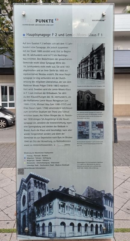
Fassade der Lemle-Moses-Klaus an der Fressgasse, 1929.
Im 2. Weltkrieg wird die Synagoge in F 2 durch Luftangriffe weiter zerstört. Ein Wiederaufbau scheitert in der Nachkriegszeit ebenso wie die Einrichtung einer Gedenkstätte in der Ruine.
Die benachbarten Quadrate F 1 und F 2 mit der Lemle-Moses-Klaus und der Hauptsynagoge auf einem Plan von 1770.
Hauptsynagoge 1914. Das benachbarte Eckgebäude F 2, 14 gehört seit 1885 ebenfalls der jüdischen Gemeinde und dient dem Lehrer und Kantor Max Schüff (1864–1954) bis 1929 als Wohnung.
Weiterführende Informationen:
this page online
© Stadtarchiv Mannheim Institut Für Stadtgeschichte
A synagogue had stood in square F 2 since the 17th century, but it was destroyed along with the city in 1689. A replacement building was constructed in F 2 at the beginning of the 18th century. By the middle of the 19th century, this synagogue could no longer meet the needs of the growing community. It was demolished in 1851 and replaced by an impressive new building completed in 1855. The new Main Synagogue was closely associated with the establishment of religious liberalism, represented by Rabbi Moses Präger (1818–1861). Meanwhile, the Lemle Moses Klaus in F 1 became the center of the Orthodox community. It was one of the 18th-century Klaus foundations established when the court factors Lemle Moses Reinganum (c. 1666–1724), Michael May (c. 1680–1737), and Elias Hayum (died 1766) founded several houses of study for the advanced study of the Torah and Talmud. Early on the morning of November 10, 1938, members of the SA entered the Main Synagogue, destroyed its interior, planted an explosive charge, and set the building on fire. The Klaus
Photographed by James Hulse, September 16, 2026
2. Hauptsynagoge F 2 und Lemle-Moses-Klaus F 1 / Main Synagogue F 2 and Lemle Moses Klaus F 1 Marker
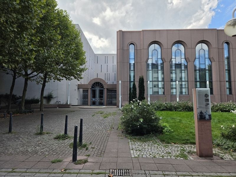
The marker is on the reverse side of the column.
Façade of the Lemle Moses Klaus on Fressgasse, 1929.
During World War II, the synagogue in F 2 was further destroyed by air raids. Postwar efforts to rebuild it failed, as did plans to create a memorial within the ruins.
The neighboring squares F 1 and F 2, showing the Lemle Moses Klaus and the Main Synagogue on a plan from 1770.
Main Synagogue, 1914. The neighboring corner building at F 2, 14 also belonged to the Jewish community beginning in 1885 and served as the residence of teacher and cantor Max Schüff (1864–1954) until 1929.
Further information: www.mannheim.de
Erected by Stadtpunkte Mannheimer Geschichte Vor Ort and Stadt Mannheim.
Topics. This historical marker is listed in this topic list: Religion & Religious Structures. A significant historical month for this entry is October 1940.
Location. 49° 29.391′ N, 8° 27.925′ E. Marker is in Mannheim, Baden-Württemberg. It is in F3. It is at the intersection of F3 and F2, on the right
Photographed by James Hulse, September 16, 2026
3. Hauptsynagoge F 2 und Lemle-Moses-Klaus F 1 / Main Synagogue F 2 and Lemle Moses Klaus F 1 Marker
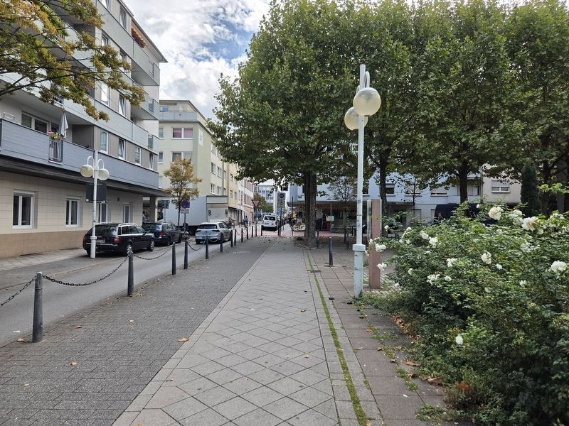
The view of the markers along the sidewalk in from of the synagogue.

Regionally, this marker is on the German Upper Rhine. Globally, it is in Europe, the European Union, Atlantic Europe, Central Europe, the Schengen Area, Western Europe, and the Western World. Historically, it finds itself in what was once the Roman Empire, the Holy Roman Empire, and the former West Germany.
Other nearby markers. At least 8 other markers are within walking distance of this marker: Juden in Mannheim / Jews in Mannheim (here, next to this marker); Trinitatiskirche, G 4 / Trinity Church, G 4 (about 90 meters away, measured in a direct line); Die Klaussynagoge / The Klaus Synagogue (about 120 meters away); Passage Rös F 1, 3 bzw. 7a (about 120 meters away); Barockes Bürgerhaus um 1700 / Baroque Town House around 1700 (about 120 meters away); Marktplatzbrunnen / Market Square Fountain (about 150 meters away); Altes Rathaus / Old Town Hall (about 150 meters away); Bassermannhaus, R 1, 4-6 / Bassermann House, R 1, 4-6 (about 150 meters away). Touch for a list and map of all markers in Mannheim.
More about this marker. There is a non-related marker separately attached on the other side of the post.
Credits. This page was last revised on September 22, 2026. It was originally submitted on September 20, 2026, by James Hulse of Medina, Texas. This page has been viewed 9 times since then. Photos: 1, 2, 3. submitted on September 22, 2026, by James Hulse of Medina, Texas.
