Tiverton in Newport County, Rhode Island — The American Northeast (New England)
General Lafayette
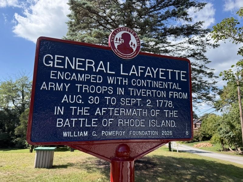
Encamped with Continental Army troops in Tiverton from Aug. 30 to Sept. 2, 1778, in the aftermath of the Battle of Rhode Island.
Erected 2026 by William G. Pomeroy Foundation. (Marker Number 8.)
Topics and series. This historical marker is listed in this topic list: War, US Revolutionary. In addition, it is included in the Lafayette’s Farewell Tour series list. A significant historical date for this entry is September 2, 1778.
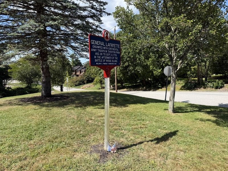
Location. 41° 37.512′ N, 71° 12.472′ W. Marker is in Tiverton, Rhode Island, in Newport County. It is at the intersection of Highland Road and Lawton Avenue, on the left when traveling north on Highland Road. Touch for map. Marker is at or near this postal address: 343 Highland Rd, Tiverton RI 02878, United States of America. Touch for directions.

Regionally, this marker is on Narragansett Bay. It is also in the American Northeast, in New England, and on the Eastern Seaboard. Globally, it is in the North Atlantic Region, North America, the Western Hemisphere, the Western World, and the Anglosphere. Historically, it finds itself in what was once one of the original Thirteen Colonies.
Other nearby markers. At
this page online
Credits. This page was last revised on September 24, 2026. It was originally submitted on September 20, 2026, by Devry Becker Jones of Washington, District of Columbia. This page has been viewed 9 times since then. Photos: 1, 2. submitted on September 20, 2026, by Devry Becker Jones of Washington, District of Columbia.
