Ouderkerk aan de Amstel in Ouder-Amstel, North Holland, Netherlands — Northwestern Europe
Schoolmeesterhuis
⎯⎯⎯
Schoolmaster’s House
Photographed by Andrew Ruppenstein, September 1, 2026
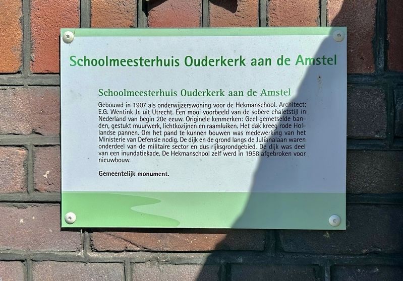
1. Schoolmeesterhuis / Schoolmaster’s House Marker

Gebouwd in 1907 als onderwijzerswoning voor de Hekmanschool. Architect: E.G. Wentink Jr. uit Utrecht. Een mooi voorbeeld van de sobere chaletstijl in Nederland van begin 20e eeuw. Originele kenmerken: Geel gemetselde ban- den, gestukt muurwerk, lichtkozijnen en raamluiken. Het dak kreeg rode Hol- landse pannen. Om het pand te kunnen bouwen was medewerking van het Ministerie van Defensie nodig. De dijk en de grond langs de Julianalaan waren onderdeel van de militaire sector en dus rijksgrondgebied. De dijk was deel van een inundatiekade. De Hekmanschool zelf werd in 1958 afgebroken voor nieuwbouw.
Gemeentelijk monument.
Schoolmaster’s House, Ouderkerk aan de Amstel
Built in 1907 as a residence for the teacher of the Hekman School. Architect: E.G. Wentink Jr. from Utrecht. A fine example of the restrained chalet style prevalent in the Netherlands in the early 20th century. Original features: yellow brick banding, plastered masonry, window frames, and shutters. The roof was covered with red Dutch tiles. Construction of the building
this page online
Municipal monument.
Topics. This historical marker is listed in these topic lists: Architecture • Education. A significant historical year for this entry is 1907.
Location. 52° 17.783′ N, 4° 54.334′ E. Marker is in Ouderkerk aan de Amstel, Noord-Holland (North Holland), in Ouder-Amstel. It is on Koningin Julianalaan, on the left when traveling east. Touch for map. Marker is at or near this postal address: Kon Julianalaan 2, Ouderkerk aan de Amstel, Noord-Holland 1191 CD, Netherlands. Touch for directions.

Regionally, it is in Europe, the European Union, Atlantic Europe, the Benelux Low Countries, the Schengen Area, Western Europe, and the Western World. Historically, it finds itself in what was once the Holy Roman Empire.
Other nearby markers. At least 8 other markers are within walking distance of this marker: De Haegh (about 90 meters
Photographed by Andrew Ruppenstein, September 1, 2026
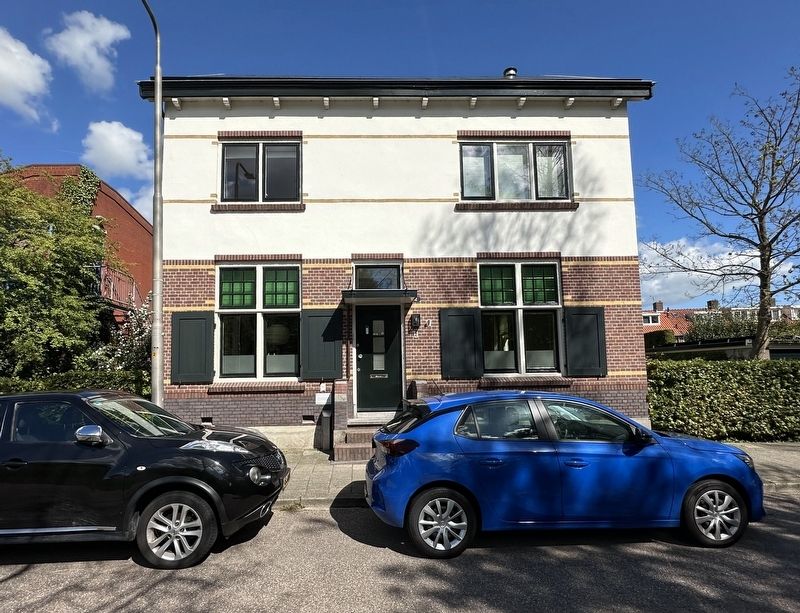
2. Schoolmeesterhuis / Schoolmaster’s House and marker
The marker is visible here below and to the left of the door.
Photographed by Andrew Ruppenstein, September 1, 2026
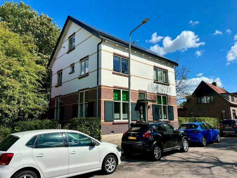
3. Schoolmeesterhuis / Schoolmaster’s House
Credits. This page was last revised on September 21, 2026. It was originally submitted on September 21, 2026, by Andrew Ruppenstein of Lamorinda, California. This page has been viewed 7 times since then. Photos: 1, 2, 3. submitted on September 21, 2026, by Andrew Ruppenstein of Lamorinda, California.
