Palo Alto in Santa Clara County, California — The American West (Pacific Coastal)
Palo Alto’s First Community House
Photographed by Alice Mansell, September 20, 2026
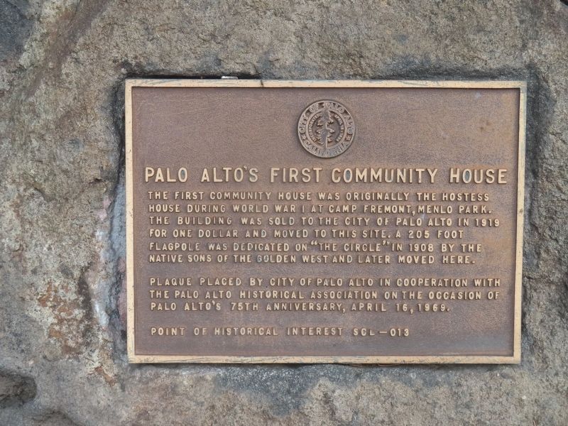
1. Palo Alto First Community House Marker
The first community house was originally the Hostess House during World War I at Camp Fremont, Menlo Park. The building was sold to the City of Palo Alto for one dollar and moved to this site. A 205 foot flagpole was dedicated on “The Circle” in 1908 by the Native Sons of the Golden West and later moved here.
Plaque placed by City of Palo Alto in cooperation with the Palo Alto Historical Association on the occasion of Palo Alto’s 75th anniversary, April 16, 1969.
Point of Historical Interest SCL-013
Erected 1969 by City of Palo Alto and Palo Alto Historical Association. (Marker Number SCL-013.)
Topics. This historical marker is listed in this topic list: Notable Buildings. A significant historical date for this entry is April 16, 1969.
Location. 37° 26.569′ N, 122° 9.907′ W. Marker is in Palo Alto, California, in Santa Clara County. It is at the intersection of University Circle and El Camino Real on University Circle. Marker is across the street from the old Hostess House (MacArthur Park Restaurant) and kitty corner to the Caltrain/Southern Pacific Railroad University Avenue station. Touch for map. Marker is in this post
this page online

Regionally, this marker is in California’s San Francisco Bay Area, in Silicon Valley, and on the Coast Ranges. It is also on the American Pacific Coast. Globally, it is in North America, on the Ring of Fire, on the Pacific Rim, in the Western Hemisphere, in the Western World, and in the Anglosphere. Historically, it finds itself in what was once New Spain and also Mexico’s Alta California.
Other nearby markers. At least 8 other markers are within walking distance of this marker: Hostess House (within shouting distance of this marker); The Hostess House War and Veterans Memorial (within shouting distance of this marker); Bicentennial Redwood Mini Grove (about 300 feet away, measured in a direct line); America250 Liberty Tree Grove (about 300 feet away); The Face Book (approx. 0.2 miles away); History of Tower Well (approx. ¼ mile away); First Elementary School (approx. 0.3 miles away); 401 Florence (approx. 0.4 miles away). Touch for a list and map of all markers in Palo Alto.
Also see . . . Hostess House (Wikipedia). Excerpt:
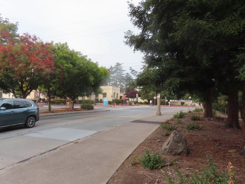
The(Submitted on September 22, 2026.)Hostess House is a historic house in Palo Alto, California. It was built in 1918 by the YWCA for members of the United States Army to meet their relatives while they were still serving in World War I. The Hostess House was originally located in Camp Fremont.Photographed by Alice Mansell, September 20, 20262. Palo Alto’s First Community House MarkerView from marker looking towards train station
The building operated as a hostess house from May through October 1918. The house was designed by architect Julia Morgan. It has been listed on the National Register of Historic Places since July 30, 1976. The building moved locations after World War I ended and was repurposed into a municipally sponsored community center, the first in the nation. It is now the MacArthur Park Restaurant.
Photographed by Alice Mansell, September 20, 2026
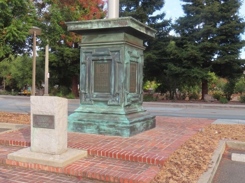
3. Palo Alto’s First Community House Marker
View of marker at the base of a redwood tree which lies just south of the Hostess House flagpole monument
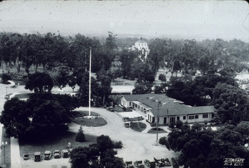
G.A. Weber, Palo Alto (courtesy California Polytechnic State University Library), circa 1933
4. Palo Alto Community Home
Credits. This page was last revised on September 22, 2026. It was originally submitted on September 22, 2026, by Alice Mansell of Los Altos, California. This page has been viewed 10 times since then. Photos: 1, 2, 3. submitted on September 22, 2026, by Alice Mansell of Los Altos, California. 4. submitted on September 22, 2026. • Andrew Ruppenstein was the editor who published this page.
