Binnenstad in Delft, South Holland, Netherlands — Northwestern Europe
Bagijnetoren
⎯⎯⎯
“Beguine Tower”
Photographed by Andrew Ruppenstein, September 3, 2026
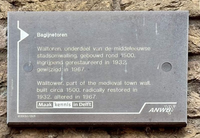
1. Bagijnetoren / Beguine Tower Marker

Waltoren, onderdeel van de middeleeuwse stadsomwalling, gebouwd rond 1500, ingrijpend gerestaureerd in 1932, gewijzigd in 1967.
Erected by ANWB, VVV, Maak kennis in Delft. (Marker Number 63936/001.)
Topics. This historical marker is listed in this topic list: Forts and Castles. A significant historical year for this entry is 1500.
Location. 52° 0.788′ N, 4° 21.119′ E. Marker is in Delft, Zuid-Holland (South Holland). It is in Binnenstad. It is on Phoenixstraat near Bagijnhof, on the left when traveling north. Touch for map. Marker is at or near this postal address: Phoenixstraat 85, Delft, Zuid-Holland 2611 AK, Netherlands. Touch for directions.

Regionally, it is in Europe, the European Union, Atlantic Europe, the Benelux Low Countries, the Schengen Area, Western Europe, and the Western World. Historically, it finds itself in what was once the Roman Empire and specifically also the Holy Roman Empire.
Other nearby markers. At least 8 other markers are within walking distance
this page online
Also see . . . Bagijnetoren (Wikipedia, in Dutch). Overview (in translation):
The Bagijnetoren in the city of Delft, in the Dutch province of South Holland, was originally built as a watchtower and formed part of the fortifications of Delft's city walls. The city of Delft was granted city rights on April 15, 1246, thereby acquiring the right to build a wall around the city. The Bagijnetoren is a later addition to the fortifications, likely built around the year 1500.(Submitted on September 23, 2026.)
Photographed by Andrew Ruppenstein, September 3, 2026
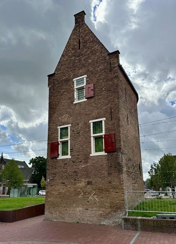
2. Bagijnetoren / “Beguine Tower” and marker
The marker is visible here on the left edge of the tower.
Photographed by Andrew Ruppenstein, September 3, 2026
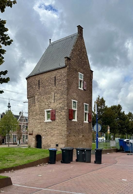
3. Bagijnetoren / “Beguine Tower” and marker
Credits. This page was last revised on September 23, 2026. It was originally submitted on September 23, 2026, by Andrew Ruppenstein of Lamorinda, California. This page has been viewed 7 times since then. Photos: 1, 2, 3. submitted on September 23, 2026, by Andrew Ruppenstein of Lamorinda, California.
