Near Cleo Spring in Alfalfa County, Oklahoma — The American South (West South Central)
Sod House
Photographed by Craig Doda, December 29, 2018
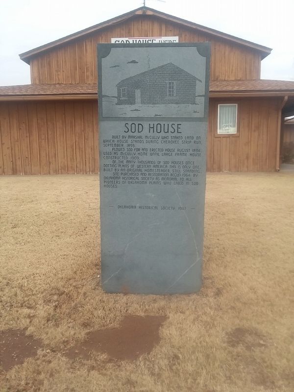
1. Sod House Marker
Built by Marshal McCully who staked land on which house stands during Cherokee Strip Run, September, 1893.
Plowed sod for and erected house August 1894. Used as McCully home until large frame house constructed 1909.
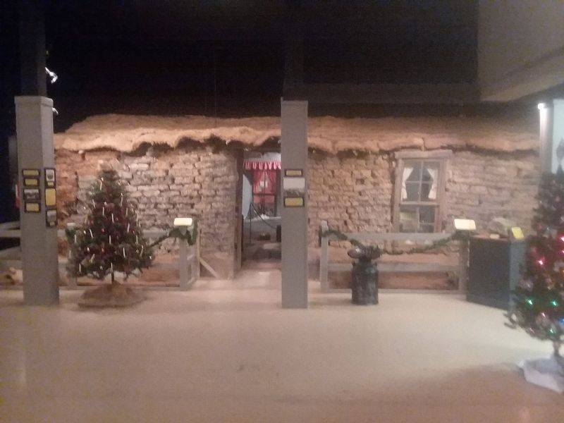
Of the many thousands of sod houses once dotting plains of Western America this is only one, built by an original homesteader, still standing.
Site purchased and restoration begun 1964 by Oklahoma Historical Society as memorial to all pioneers of Oklahoma Plains who lived in sod houses.
Erected 1967 by Oklahoma Historical Society.
Topics. This historical marker is listed in these topic lists: Architecture • Settlements & Settlers. A significant historical month for this entry is August 1894.
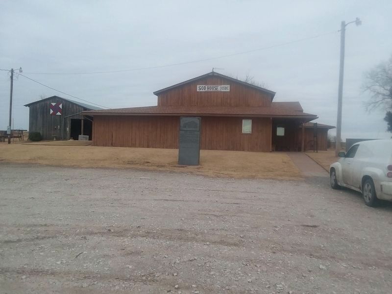
Location. 36° 28.331′ N, 98° 25.559′ W. Marker is near Cleo Spring, Oklahoma, in Alfalfa County. It is at the intersection of State Highway 8 and E0374 Road, on the right when traveling north on State Highway 8. The marker is located on the grounds of the Sod House Museum. Touch for map. Marker is in this post office area: Aline OK 73716, United States of America. Touch for directions.

Regionally, this marker
this page online
Other nearby markers. At least 4 other markers are within 12 miles of this marker, measured as the crow flies: Glass Mountains or Gloss Mountains (approx. 11.4 miles away); Horseshoe Bend (approx. 11.4 miles away); Welcome to the Gloss Mountains (approx. 11½ miles away); Red Mesas of the Blaine Escarpment (approx. 11½ miles away).
Photographed by Craig Doda, December 29, 2018
2. Sod House Museum and Marker
Photographed by Craig Doda, December 29, 2018
3. Sod House
Photographed by Craig Doda, December 29, 2018
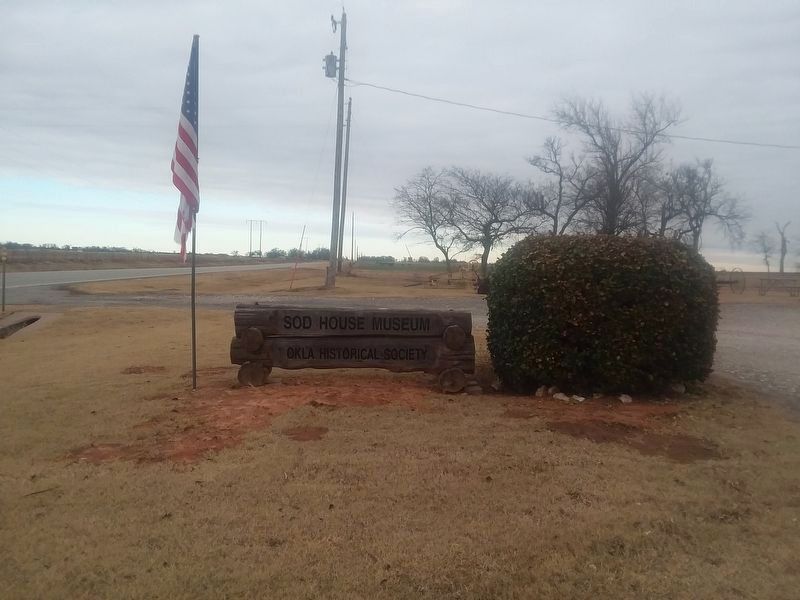
4. Sod House Museum sign
Credits. This page was last revised on September 24, 2026. It was originally submitted on December 13, 2020, by Craig Doda of Napoleon, Ohio. This page has been viewed 369 times since then and 38 times this year. Last updated on September 24, 2026, by Cindy Miller of Oklahoma City, Oklahoma. Photos: 1, 2, 3, 4. submitted on December 13, 2020, by Craig Doda of Napoleon, Ohio. • Devry Becker Jones was the editor who published this page.
