South Saint Paul in Dakota County, Minnesota — The American Midwest (Upper Plains)
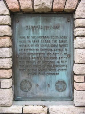
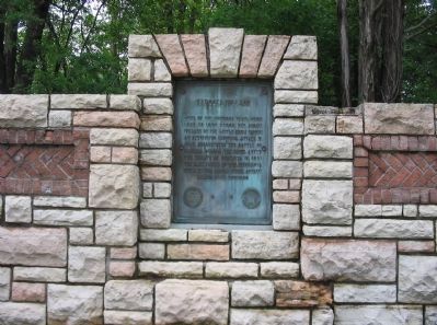
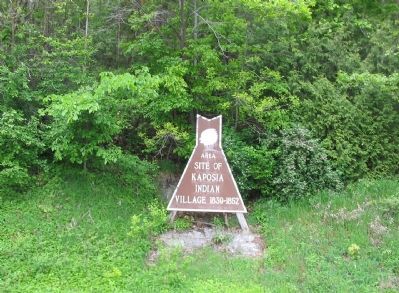
Kaposia Village
[seal of the Minnesota Historical Society]
[seal of the State of Minnesota, Department of Highways]
Erected by the Minnesota Historical Society and the Minnesota Department of Highways.
Topics and series. This historical marker is listed in this topic list: Wars, US Indian. In addition, it is included in the Minnesota Historical Society series list. A significant historical year for this entry is 1839.
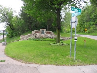
Location. 44° 54.837′ N, 93° 3.284′ W. Marker is in South Saint Paul, Minnesota, in Dakota County. Marker is at the intersection of Butler Avenue (County Highway 4) and North Concord Street (State Highway 156) on Butler Avenue. Touch for map. Marker is in this post office area: South Saint Paul MN 55075, United States of America. Touch for directions.
Other nearby markers. At least 8 other markers are within 2 miles of this marker, measured as the crow flies. Kaposia: Dakota Village on the Mississippi River (approx. ¼ mile away); Holman Field (approx. 1.6 miles away); Charles W. Holman (approx. 1.6 miles away); Swift & Company (approx. 1.8 miles away); Riverside Hangars (approx. 1.9 miles away); Battle Creek Regional Park (approx. 2 miles away); Saint Paul Downtown Airport Seaplane Harbor (approx. 2 miles away); Northwest Airways Hangar Passenger Terminal (approx. 2 miles away). Touch for a list and map of all markers in South Saint Paul.
Credits. This page was last revised on June 7, 2021. It was originally submitted on May 26, 2010, by Keith L of Wisconsin Rapids, Wisconsin. This page has been viewed 2,483 times since then and 70 times this year. Photos: 1, 2, 3, 4. submitted on May 26, 2010, by Keith L of Wisconsin Rapids, Wisconsin. • Craig Swain was the editor who published this page.


