Sondernheim in Germersheim, Rhineland-Palatinate, Germany — Central Europe
Marktstraße und Schlossstraße
Photographed by James Hulse, September 15, 2026
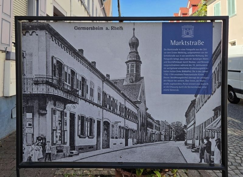
1. Marktstraße und Schlossstraße Marker - Front

Die Marktstraße in einer Fotografie aus der Zeit vor dem Ersten Weltkrieg, aufgenommen von der Schloßstraße aus in ost-westlicher Richtung. Die Fotografie belegt, dass viele der damaligen Wohn- und Geschäftshäuser durch Neubau- und Renovierungsmaßnahmen während des 19. Jahrhunderts ein weitgehend einheitliches Erscheinungsbild erhalten hatten (linke Bildhälfte). Die in den Jahren 1782–1784 errichtete Protestantische Kirche (heute: Versöhnungskirche) überragt die umliegenden Häuser bei weitem. Über ihrem, der Marktstraße zugewandten, Portal erinnert eine Inschrift an die Erbauung durch die Germersheimer reformierte Gemeinde.
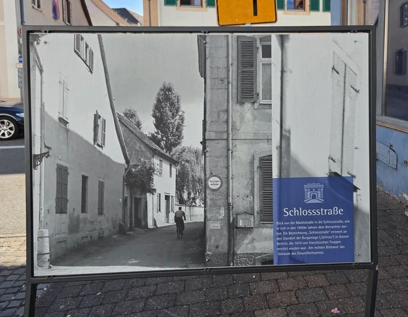
Schlossstraße
Blick von der Marktstraße in die Schlossstraße, wie er sich in den 1950er Jahren dem Betrachter darbot. Die Bezeichnung „Schlossstraße“ erinnert a den Standort der Burganlage („Schloss“) in diesem Bereich, die 1674 von französischen Truppen zerstört worden war. Am rechten Bildrand: das Gebäude des Gesundheitsamtes.
Marktstraße
This photograph of Market Street from before the First World War was taken from Castle Street, looking east to west. It shows that many of the residential and commercial buildings of that time had acquired a largely uniform appearance through construction and renovation work during the 19th century, as seen in the left half of the photograph. The Protestant Church, built between 1782 and 1784 and now known as the Church of Reconciliation, rises far above the surrounding houses. An inscription above its portal facing Market Street commemorates its construction by Germersheim’s Reformed congregation.
Schlossstraße
This
this page online
Erected by City of Germersheim.
Topics. This historical marker is listed in this topic list: Notable Places. A significant historical year for this entry is 1879.
Location. 49° 13.198′ N, 8° 22.402′ E. Marker is in Germersheim, Rheinland-Pfalz (Rhineland-Palatinate). It is in Sondernheim. It is at the intersection of Marktstraße and Hauptstraße, on the right when traveling east on Marktstraße. Touch for map. Marker is at or near this postal address: Marktstraße 21, Germersheim RP 76726, Germany. Touch for directions.

Regionally, this marker is on the German Upper Rhine. Globally, it is in Europe, the European Union, Atlantic Europe, Central Europe, the Schengen Area, Western Europe, and the Western World. Historically, it finds itself in what was once the Roman Empire, the Holy Roman Empire, and the former West Germany.
Other nearby markers. At least 8 other markers are within walking distance of this marker: Antonie 'Toni' Mohr (within shouting distance of this marker); Elisabeth Mohr (within shouting distance of this marker); Otto Mohr (within shouting distance of this marker); Wilhelmina Mohr (within shouting distance of this marker); Hauptstraße (about 90 meters away, measured in a direct line); Marktstraße (about 90 meters away); Max Ebert (about 120 meters away); Sophie Ebert (about 120 meters away).
Photographed by James Hulse, September 15, 2026
2. Marktstraße und Schlossstraße Marker - Reverse
Photographed by James Hulse, September 15, 2026
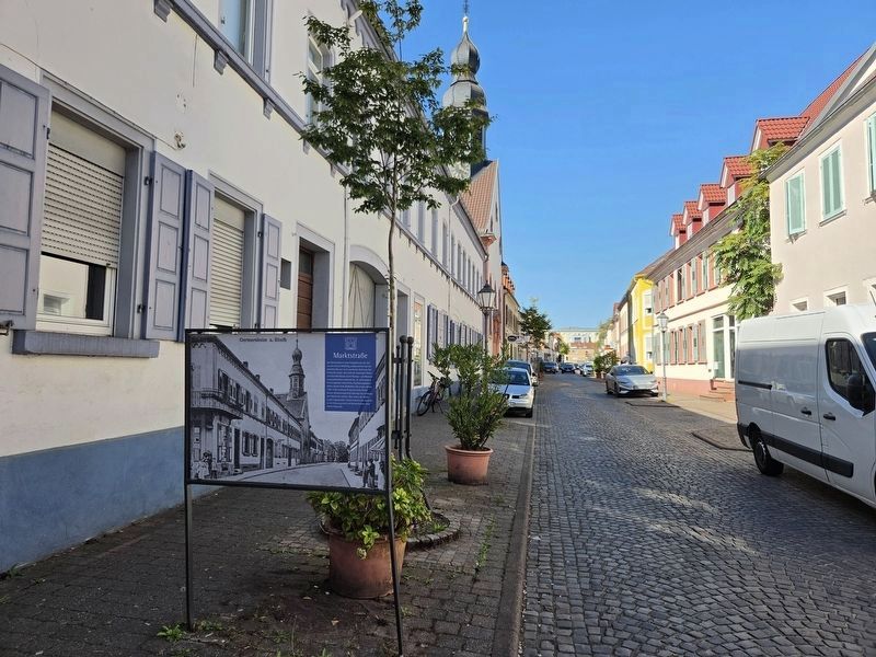
3. Marktstraße und Schlossstraße Marker
Looking towards the front side of the marker.
Photographed by James Hulse, September 15, 2026
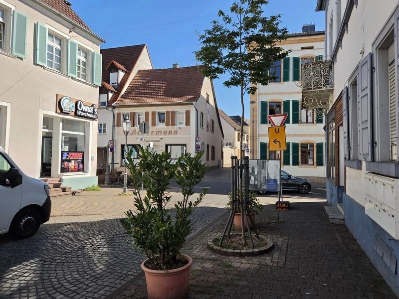
4. Marktstraße und Schlossstraße Marker
Looking towards the reverse side of the marker.
Credits. This page was last revised on September 26, 2026. It was originally submitted on September 25, 2026, by James Hulse of Medina, Texas. This page has been viewed 3 times since then. Photos: 1, 2, 3, 4. submitted on September 26, 2026, by James Hulse of Medina, Texas.
