Sondernheim in Germersheim, Rhineland-Palatinate, Germany — Central Europe
Stadthaus
⎯⎯⎯
Municipal Building
Photographed by James Hulse, September 15, 2026
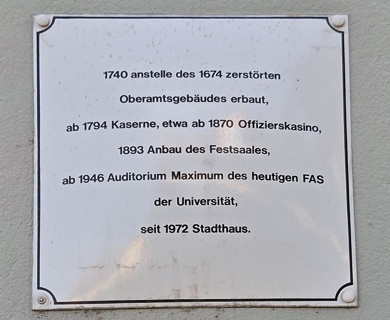
1. Stadthaus / Municipal Building Marker

Built in 1740 on the site of the district administration building destroyed in 1674, it served as barracks from 1794 and as an officers’ club from about 1870. A ceremonial hall was added in 1893. From 1946, it served as the main lecture hall of what is now the university’s FAS. It has been a municipal building since 1972.
Topics. This historical marker is listed in this topic list: Notable Buildings. A significant historical year for this entry is 1740.
Location. 49° 13.123′ N, 8° 22.353′ E. Marker is in Germersheim, Rheinland-Pfalz (Rhineland-Palatinate). It is in Sondernheim. It is at the intersection of Kolpingplatz and Kolpingpl., on the left when traveling west on Kolpingplatz. Touch for map. Marker is at or near this postal address: Kolpingpl 3, Germersheim RP 76726, Germany. Touch for directions.

Regionally, this marker is on the German Upper Rhine. Globally, it is in Europe, the European Union, Atlantic Europe, Central Europe, the Schengen Area, Western Europe, and the Western World. Historically, it finds itself in what was once the Roman Empire, the Holy Roman Empire, and the former West Germany.
Other nearby markers. At least 8 other markers are within walking distance of this marker: Jüdische Synagoge / Jewish Synagogue (a few steps from this marker); Rue de la Poste / Oberamtstraße (within shouting distance of this marker); Max Ebert (about
this page online
Photographed by James Hulse, September 15, 2026
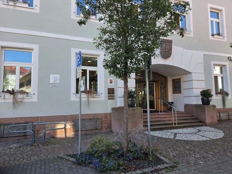
2. Stadthaus / Municipal Building Marker
The marker is located on the left side of the entrance to the building.
Credits. This page was last revised on September 27, 2026. It was originally submitted on September 25, 2026, by James Hulse of Medina, Texas. This page has been viewed 4 times since then. Photos: 1, 2. submitted on September 26, 2026, by James Hulse of Medina, Texas.
