Running Water in Bon Homme County, South Dakota — The American Midwest (Upper Plains)
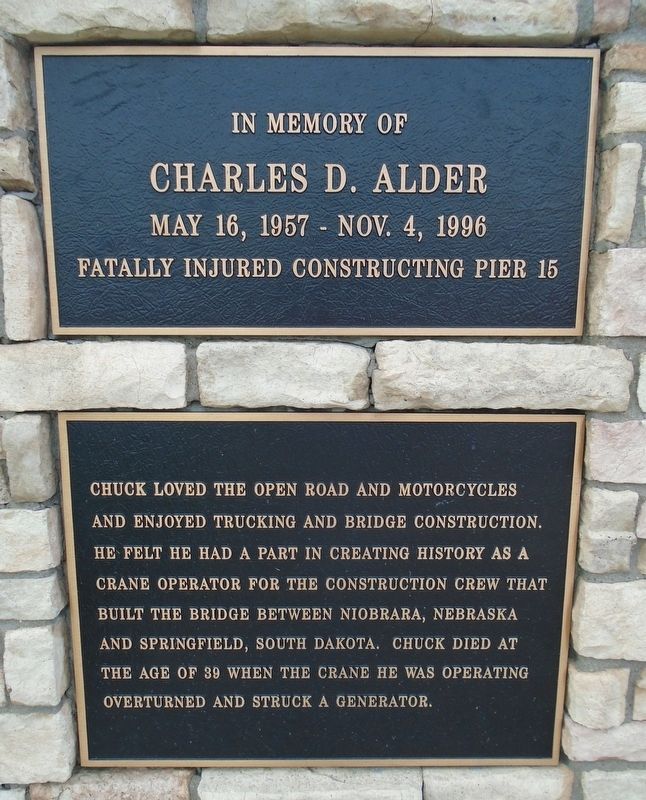
Charles D. Adler
May 16, 1957 - Nov. 4, 1996
| — | In Memory of | — |
Photographed by William Fischer, Jr., September 17, 2026
1. Charles D. Adler Marker
Fatally injured constructing Pier 15
Chuck loved the open road and motorcycles and enjoyed trucking and bridge construction. He felt he had a part in creating history as a crane operator for the construction crew that built the bridge between Niobrara, Nebraska and Springfield, South Dakota. Chuck died at the age of 39 when the crane he was operating overturned and struck a generator.
Topics. This historical marker is listed in these topic lists: Bridges & Viaducts • Disasters. A significant historical date for this entry is November 4, 1996.
Location. 42° 46.178′ N, 97° 59.397′ W. Marker is in Running Water, South Dakota, in Bon Homme County. It is on State Highway 37, on the right when traveling south. Marker is at the Missouri River Overlook, adjacent to the Standing Bear Memorial Bridge. Touch for map. Marker is in this post office area: Springfield SD 57062, United States of America. Touch for directions.

Regionally, this marker is in East River. It is also in the American Lewis & Clark Corridor, on the prairies, and on the Northern Plains. Globally, it is in North America, the Western Hemisphere, the Western
this page online
Other nearby markers. At least 8 other markers are within 4 miles of this marker, measured as the crow flies: The Missouri (here, next to this marker); Up the Missouri (a few steps from this marker); Missouri River (a few steps from this marker); The Sage Brothers (approx. 2½ miles away in Nebraska); Life After the Expedition (approx. 2.6 miles away in Nebraska); J. Alan Cramer Interpretive Shelter (approx. 3.1 miles away in Nebraska); Lewis and Clark Expedition (approx. 3.1 miles away in Nebraska); They Opened The West (approx. 3.1 miles away in Nebraska). Touch for a list and map of all markers in Running Water.
Photographed by William Fischer, Jr., September 17, 2026
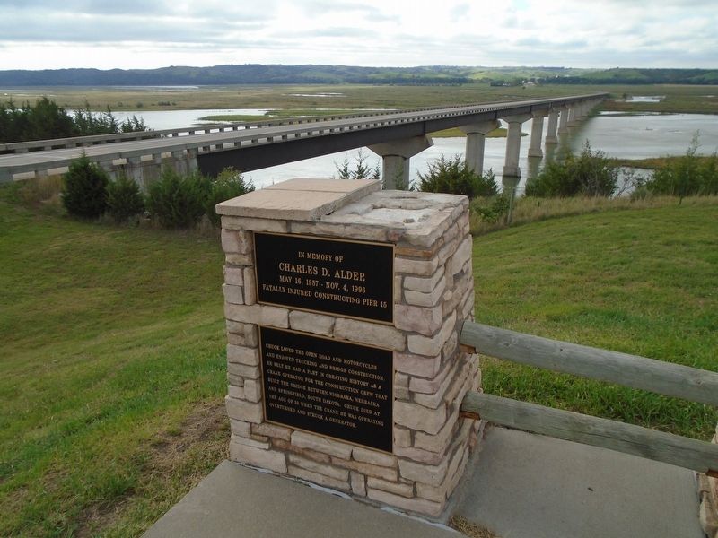
2. Charles D. Adler Marker
Chief Standing Bear Memorial Bridge in background
Photographed by William Fischer, Jr., September 17, 2026
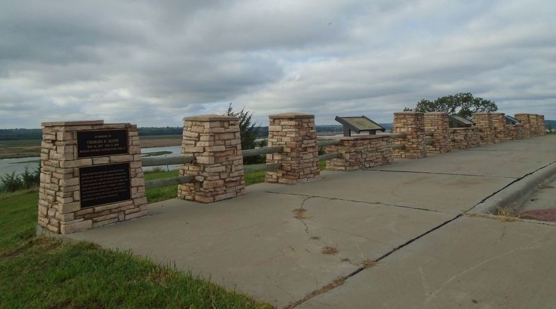
3. Charles D. Adler Marker at Missouri River Overlook
Credits. This page was last revised on September 25, 2026. It was originally submitted on September 25, 2026, by William Fischer, Jr. of Reynoldsburg, Ohio. This page has been viewed 7 times since then. Photos: 1, 2, 3. submitted on September 25, 2026, by William Fischer, Jr. of Reynoldsburg, Ohio.
