Bulla in Hume, Victoria, Australia — Oceania
Hume and Hovell - 100 Year Memorial Marker
Photographed by Dean Barton-Ancliffe, August 27, 2026
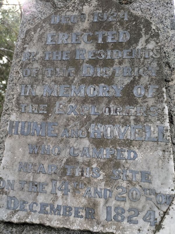
1. Hume and Hovell - 100 Year Memorial Marker Marker
Erected
by the Residents
of the District
in Memory of
the Explorers
Hume and Hovell
who camped
near this site
on the 14th and 20th of
December 1824
Erected 1924 by The Residents of the District.
Topics. This historical marker is listed in this topic list: Exploration. A significant historical date for this entry is December 14, 1824.
Location. 37° 38.178′ S, 144° 50.08′ E. Marker is in Bulla, Victoria, in Hume. It is on Oaklands Road 0.2 kilometers north of Cemetery Lane, on the left when traveling south. Touch for map. Marker is at or near this postal address: 125 Oaklands Road, Bulla VIC 3428, Australia. Touch for directions.

Regionally, it is in Oceania, in Australasia, in the Pacific Ocean, in South Pacific, on the Pacific Rim, in the Western World, and in the Anglosphere. Historically, it finds itself in what was once a British colony.
Other nearby markers. At least 8 other markers are within 3 kilometers of this marker, measured as the crow flies: Woodlands Historic Park (approx. one kilometer away); The Power of Steam (approx. 2.6 kilometers away); Daffodils (approx. 2.7 kilometers away); Former Bulla Shire Hall
this page online
Also see . . . Hume and Hovell expedition. Wikipedia
The Hume and Hovell expedition was a journey of exploration undertaken in eastern Australia. In 1824 the Governor of New South Wales, Sir Thomas Brisbane, commissioned Hamilton Hume and former Royal Navy Captain William Hovell to lead an expedition to find new grazing land in the south of the colony, and also to find an answer to the mystery of where New South Wales's western rivers flowed.(Submitted on September 26, 2026, by Dean Barton-Ancliffe of Rowville, Victoria.)
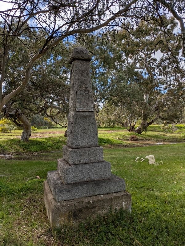
Surveyor General John Oxley asserted that no river could fall into the sea between Cape Otway and Spencer Gulf, and that the country south of parallel of 34 degrees was ' uninhabitable and useless for all purposes of civilised men,' and for the time exploration in this direction was greatly discouraged. In 1824, newly appointed Sir Thomas Brisbane, who disbelieved this statement, offered to land a partyof prisoners near Wilson's Promontory and grant them a free pardon, as well as a grant of land, to those who found their way overland to Sydney.[1]Photographed by Dean Barton-Ancliffe, August 27, 20262. Hume and Hovell - 100 Year Memorial Marker Pillar
Alexander Berry recommended the Governor to secure the services of Hume to lead the exploring party. Hume declined to undertake that task but instead offered, if supplied with men and horses, to go from Lake George to Bass Straits. This was not carried out. But shortly afterwards Hume and W. H. Hovell, of Minto, agreed together to undertake an expedition in that direction. They found men and horses and bullocks; the Government furnished them with pack saddles, tarpaulins, tent, arms, ammunition, and skeleton charts.
Credits. This page was last revised on October 5, 2026. It was originally submitted on September 26, 2026, by Dean Barton-Ancliffe of Rowville, Victoria. This page has been viewed 7 times since then. Photos: 1, 2. submitted on September 26, 2026, by Dean Barton-Ancliffe of Rowville, Victoria. • Andrew Ruppenstein was the editor who published this page.
