St Katharine's & Wapping in Tower Hamlets in Greater London, England, United Kingdom — Northwestern Europe (the British Isles)
The London Wall Walk
Photographed by Ian Lefkowitz, September 11, 2026
1. The London Wall Walk Marker
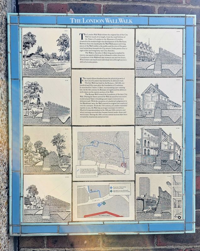
The Walk is 1¾ miles (2.8km) long and is marked by twenty-one panels which can be followed in either direction. Completion of the Walk will take between one and two hours. Wheelchairs can reach most individual sites although access is difficult at some points.
For nearly fifteen hundred years the physical growth of the City of London was limited by its defensive wall.
The first Wall was built by the Romans c. AD 200, one hundred and fifty years after the foundation of Londinium. It stretched for 2 miles (3.2km), incorporating a pre-existing fort. In the 4th century the Romans strengthened the defences with towers on the eastern section of the Wall.
The Roman Wall formed
this page online
Erected by Museum of London. (Marker Number 1.)
Topics. This historical marker is listed in these topic lists: Forts and Castles • Settlements & Settlers.
Location. 51° 30.568′ N, 0° 4.549′ W. Marker is in Tower Hamlets, England, in Greater London. It is in St Katharine's & Wapping. It can be reached from Tower Hill west of Tower Bridge Approach, on the left when traveling west. Touch for map. Marker is at or near this postal address: 110-102 Tower
Photographed by Ian Lefkowitz, September 11, 2026
2. The London Wall Walk Marker
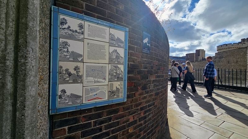
The walk begins across the moat from the Tower of London.

Regionally, this marker is in London and in the Greater South East. Globally, it is on the Atlantic Ocean, in the North Atlantic Region, in Europe, in Atlantic Europe, on one of the British Isles, in the Western World, and in the Anglosphere. Historically, it finds itself in what was once the Roman Empire.
Other nearby markers. At least 8 other markers are within walking distance of this marker: Tower Hill Passageway: Hay's Galleria (here, next to this marker); Tower Hill Passageway: St Katharine Docks (here, next to this marker); Tower Hill Passageway: Butler's Wharf (here, next to this marker); Tower Hill Passageway: Anne Boleyn (here, next to this marker); Tower Hill Medieval Postern (a few steps from this marker); Transforming the Tower of London Moat (a few steps from this marker); Tower Hill Passageway: Jousting and Tournaments (a few steps from this marker); Tower Hill Passageway: Elizabeth I (a few steps from this marker). Touch for a list and map of all markers in Tower Hamlets.
Other markers no longer nearby. The Norman Tower of London
Photographed by Ian Lefkowitz, September 11, 2026
3. The London Wall
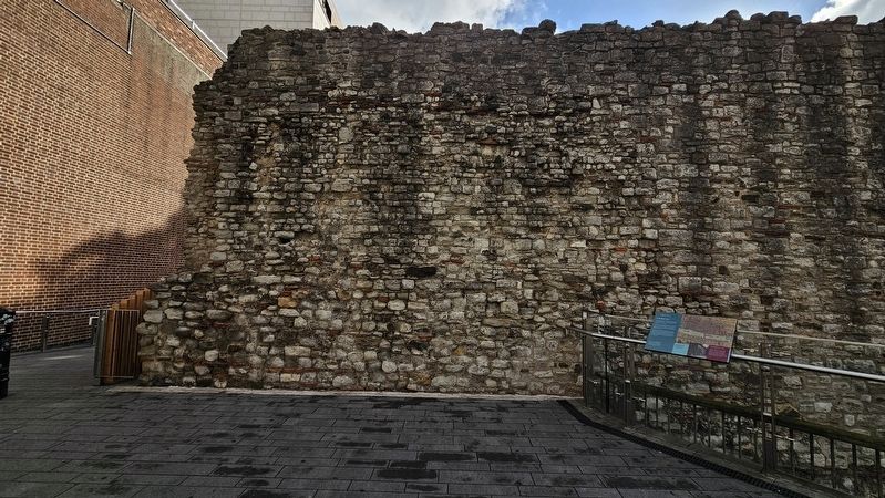
This section of wall was preserved in the 20th century.
Also see . . . How to Do the London Wall Walk: A Self-Guided Walking Tour (London on My Mind).
In the 1980s, the Museum of London put together a self-guided walking route along the remaining viewpoints of the Roman London Wall. There were originally 21 plaques along a 2.8km (1.75mi) route; today there are only 11 plaques – and the route I walked clocked in at 3.5km (2.2mi). Because some of the plaques are missing and the buildings/roads have changed, I put together this guide.(Submitted on September 26, 2026, by Ian Lefkowitz of New York, New York.)
Credits. This page was last revised on September 30, 2026. It was originally submitted on September 26, 2026, by Ian Lefkowitz of New York, New York. This page has been viewed 7 times since then. Photos: 1, 2, 3. submitted on September 26, 2026, by Ian Lefkowitz of New York, New York. • Andrew Ruppenstein was the editor who published this page.
