Whitchurch in Shropshire, England, United Kingdom — Northwestern Europe (the British Isles)
History on the Spot
Photographed by Ray Gurganus, May 18, 2026
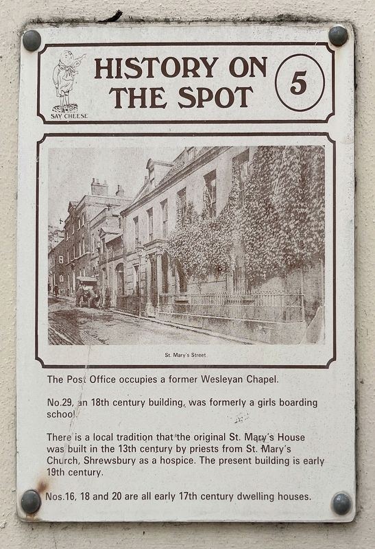
1. History on the Spot Marker
No. 29, an 18th century building, was formerly a girls boarding school.
There is a local tradition that the original St. Mary's House was built in the 13th century by priests from St. Mary's Church, Shrewsbury as a hospice. The present building is early 19th century.
Nos. 16, 18 and 20 are all early 17th century dwelling houses. (Marker Number 5.)
Topics. This historical marker is listed in this topic list: Notable Buildings.
Location. 52° 58.195′ N, 2° 40.985′ W. Marker is in Whitchurch, England, in Shropshire. It is at the intersection of Saint Mary's Street and St Johns St, on the right when traveling south on Saint Mary's Street. Touch for map. Marker is at or near this postal address: 21 St Mary's St, Whitchurch, England SY13 1QY, United Kingdom. Touch for directions.

Regionally, this marker is in the Midlands. It is also on the British Marches. Globally, it is on the Atlantic Ocean, in the North Atlantic Region, in Europe, in Atlantic Europe, on one of the British Isles, in the Western World, and in the Anglosphere. Historically, it finds itself in what was once the Roman Empire.
Other nearby markers. At least 6 other markers are within 16 kilometers of this marker, measured as the crow flies: Life in 18th & 19th century Whitchurch (a few steps from this marker); a different marker also named History on the Spot (about 150 meters away, measured in a direct line); Welcome to Whitchurch (approx. 0.8 kilometers away); Walks around Whitchurch (approx. 0.8 kilometers away); Whitchurch Road Cemetery (approx. 12.3 kilometers away); The Great Church of St Mary's (approx. 15.3 kilometers away).
Credits. This page was last revised on September 28, 2026. It was originally submitted on September 27, 2026, by Ray Gurganus of Washington, District of Columbia. This page has been viewed 4 times since then. Photo 1. submitted on September 27, 2026, by Ray Gurganus of Washington, District of Columbia. • Andrew Ruppenstein was the editor who published this page.
Editor’s want-list for this marker. photo of the marker within its surroundings • Can you help?
