Morristown in Morris County, New Jersey — The American Northeast (Mid-Atlantic)
French Forces Pivot to Virginia
New Jersey Historical Commission
1. French Forces Pivot to Virginia Marker
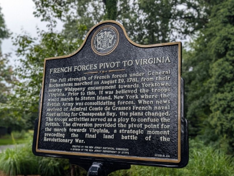
The full strength of French forces under General Rochambeau marched on August 29, 1781, from their nearby Whippany encampment towards Yorktown, Virginia. Prior to this, it was believed the troops would march to Staten Island, New York where the British Army was consolidating forces. When news arrived of Admiral Comte de Grasse’s French naval fleet sailing for Chesapeake Bay, the plans changed. The troops’ activities served as a ploy to confuse the British. The diversion provided the pivot point for the march towards Virginia, a strategic moment preceding the final land battle of the Revolutionary War.
Erected 2026 by New Jersey Historical Commission. (Marker Number 2026.B.04.)
Topics. This historical marker is listed in this topic list: War, US Revolutionary. A significant historical date for this entry is August 29, 1781.
Location. 40° 48.1′ N, 74° 27.1′ W. Marker is in Morristown, New Jersey, in Morris County. It can be reached from Whippany Road (County Route 511) 0.1 miles west of Woodruff Road, on the left when traveling north. Located along the path adjacent to the parking lot in the Frelinghuysen Arboretum. Touch for map.
this page online

Regionally, this marker is in North Jersey and in the New York City Metropolitan Area. It is also in the American Northeast and in the Mid-Atlantic. Globally, it is in North America, the Western Hemisphere, the Western World, and the Anglosphere. Historically, it finds itself in what was once New Netherland and also one of the original Thirteen Colonies.
Other nearby markers. At least 8 other markers are within walking distance of this marker: Whippany Farm (about 500 feet away, measured in a direct line); Acorn Hall (approx. 0.6 miles away); a different marker also named Acorn Hall (approx. 0.6 miles away); Constitution Tree (approx. 0.6 miles away); Powder Mill (approx. 0.6 miles away); Historic Site (approx. 0.6 miles away); Village of Monroe (approx. ¾ mile away); Washington’s Headquarters Museum (approx. 0.8 miles away). Touch for a list and map of all markers in Morristown.
Another marker is no longer nearby. Morristown National Historical Park (was approx. 0.8 miles away but has been confirmed missing).
More about this marker. This marker is part of the New Jersey State Historical Markers Program’s 250th Initiative.
Credits. This page was last revised on October 7, 2026. It was originally submitted on September 27, 2026, by New Jersey Historical Commission of Trenton, New Jersey. This page has been viewed 10 times since then. Photo 1. submitted on September 27, 2026, by New Jersey Historical Commission of Trenton, New Jersey. • Michael Herrick was the editor who published this page.
Editor’s want-list for this marker. A wide view photo of the marker and its surroundings. • Can you help?
