Tiverton in Newport County, Rhode Island — The American Northeast (New England)
Historic Nanaquaket
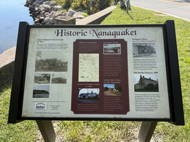
Capt. Nathaniel Church Estate
ca. 1872
The property was a wedding gift given by George Humphrey to his daughter, Mary, when she married Nathaniel Church, one of the seven Church brothers; the Church family founded a large local fish-processing company in Tiverton in 1870.
Historic Nanaquaket
In 1651, Wamsutta, or Alexander, and several other Wampanoag sachems, sold Nanaquaket Neck to Captain Richard Morris. Sachem Queen Weetamoo once lived near the northern end of Nanaquaket Neck.
George W. Humphrey House
ca. 1840
Oldest of the Humphrey houses on Nanaquaket. George was a successful farmer, held several Town offices and served in the State legislature.
Nanaquaket Bridge
At the main session of the 1875 Rhode Island General Assembly, George W. Humphrey and others were authorized to erect a bridge across the strait leading into Nanaquaket Pond. The bridge was constructed in 1884 for their own convenience as a saving of several miles of travel and also the elimination of taking out and putting in ten or a dozen sets of bars when passing through various fields and pastures.
Andrew Oliver House
ca. 1760 "Homelands"
The
this page online
Bridgeport Block
(near corner of Main & Nanaquaket)
This property may have been the site of Joseph Wanton's shipyard. Wanton was a Quaker who came to Tiverton in 1688 and established a ship building business on the north end of Nanaquaket Pond. The old Bridgeport Block was one of the first stores in town and had apartments above.
Old Durfee Farm ca. 1800
This was the residence of the Durfee family, including Job (1790-1847). Job served in the State legislature (1816-20), the U.S. Congress (1820-25), R.I. General Assembly (1826-29), R.I. Supreme Court Justice (1833-1835), R.I. Supreme Court Chief Justice (1835-1847). At his request, his tombstone was engraved with the Rhode Island state seal and inscription, "His trust was and is in God."
Topics. This historical marker is listed in these topic lists: Bridges & Viaducts • Government & Politics • Industry & Commerce • Settlements & Settlers. A significant historical year for this entry is 1872.
Location. 41° 37.091′ N,
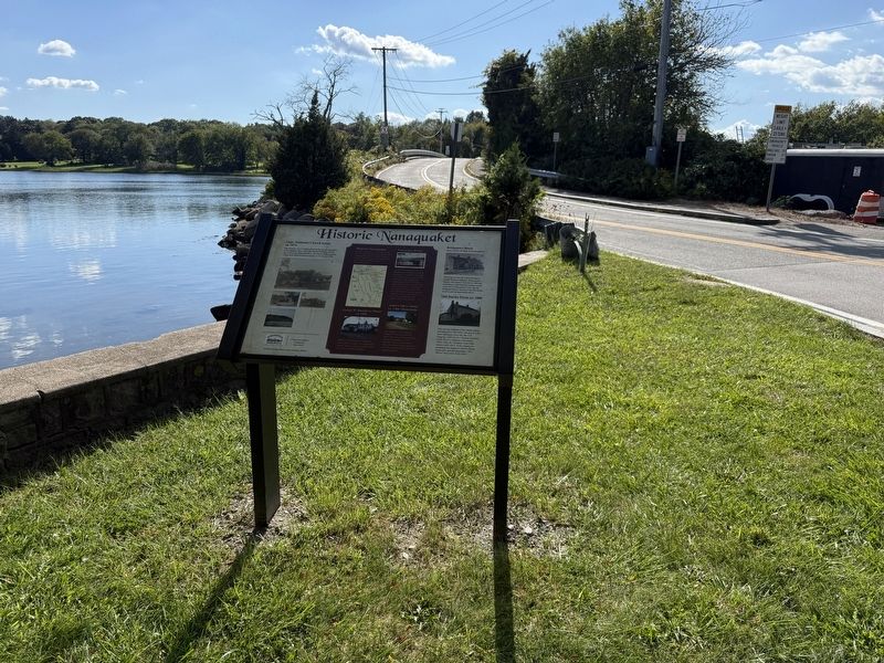

Regionally, this marker is on Narragansett Bay. It is also in the American Northeast, in New England, and on the Eastern Seaboard. Globally, it is in the North Atlantic Region, North America, the Western Hemisphere, the Western World, and the Anglosphere. Historically, it finds itself in what was once one of the original Thirteen Colonies.
Other nearby markers. At least 8 other markers are within walking distance of this marker: Historic Bridgeport (a few steps from this marker); Holt’s Trail (approx. half a mile away); Town of Tiverton, Rhode Island World War II Honor Roll (approx. half a mile away); General Lafayette (approx. half a mile away); Fort Barton (approx. half a mile away); Fort Barton Redoubt (approx. half a mile away); a different marker also named Fort Barton (approx. half a mile away); Roll of Honor (approx. 0.7 miles away). Touch for a list and map of all markers in Tiverton.
Credits. This page was last revised on September 28, 2026. It was originally submitted on September 28, 2026, by Devry Becker Jones of Washington, District of Columbia. Photos: 1, 2. submitted on September 28, 2026, by Devry Becker Jones of Washington, District of Columbia.
