Lovingston in Nelson County, Virginia — The American South (Mid-Atlantic)
Lovingston
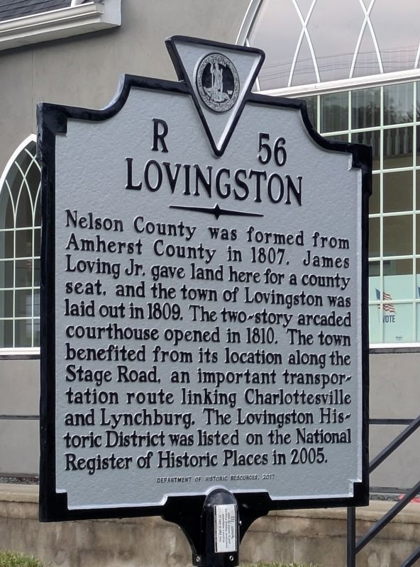
Photographed by Bruce InCharlotte, September 6, 2026
1. Lovingston Marker
Nelson County was formed from Amherst County in 1807. James Loving Jr. gave land here for a county seat, and the town of Lovingston was laid out in 1809. The two-story arcaded courthouse opened in 1810. The town benefited from its location along the Stage Road, an important transportation route linking Charlottesville and Lynchburg. The Lovingston Historic District was listed on the National Register of Historic Places in 2005.
Erected 2017 by Department of Historic Resources. (Marker Number R-56.)
Topics and series. This historical marker is listed in these topic lists: Political Subdivisions • Settlements & Settlers. In addition, it is included in the Virginia Department of Historic Resources (DHR) series list. A significant historical year for this entry is 1807.
Location. 37° 45.572′ N, 78° 52.248′ W. Marker is in Lovingston, Virginia, in Nelson County. It is on Front Street (Business U.S. 29) south of Main Street, on the right when traveling south. Touch for map. Marker is at or near this postal address: 571 Front St, Lovingston VA 22949, United States of America. Touch for directions.

Regionally, this
this page online
Other nearby markers. At least 8 other markers are within 4 miles of this marker, measured as the crow flies: Confederate Memorial (about 400 feet away, measured in a direct line); Hurricane Camille Memorial (about 400 feet away); Nelson County World War Memorial (about 500 feet away); Nelson County World War II Memorial (about 500 feet away); Nelson County Courthouse (about 500 feet away); Nelson Memorial Library (approx. ¾ mile away); Lovingston High School (approx. 0.8 miles away); Birthplace of Rives (approx. 3.7 miles away). Touch for a list and map of all markers in Lovingston.
Another marker is no longer nearby. Lovingston (was a few steps from this marker but has been replaced with another marker now near it).
Regarding Lovingston. Lovingston's story stretches well beyond the brief details on the marker. Lovingston grew as a two‑center town, with the courthouse square serving civic life and Front Street handling most of the commercial traffic from travelers. Weekly court days functioned as social gatherings, drawing families from across Nelson County for business, trading, and community interaction. The town was later reshaped by the 1961 Route 29 bypass, which diverted traffic and helped preserve its older buildings. Lovingston also carries the memory of Hurricane Camille's 1969 devastation, a defining event in its modern history.
Credits. This page was last revised on September 30, 2026. It was originally submitted on September 29, 2026, by Bruce InCharlotte of Charlotte, North Carolina. This page has been viewed 6 times since then. Photo 1. submitted on September 29, 2026, by Bruce InCharlotte of Charlotte, North Carolina. • Devry Becker Jones was the editor who published this page.
Editor’s want-list for this marker. A wide shot of the marker in context. • Can you help?
