Amarillo in Potter County, Texas — The American South (West South Central)
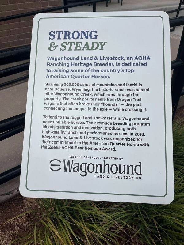
Strong & Steady
Photographed by Thomas Smith, September 15, 2026
1. Strong & Steady Marker
Wagonhound Land & Livestock, an AQHA Ranching Heritage Breeder, is dedicated to raising some of the country's top American Quarter Horses.
Spanning 300,000 acres of mountains and foothills near Douglas, Wyoming, the historic ranch was named after Wagonhound Creek, which runs through the property. The creek got its name from Oregon Trail wagons that often broke their "hounds" - the part connecting the tongue to the axle - while crossing it.
To tend to the rugged and snowy terrain, Wagonhound needs reliable horses. Their remuda breeding program blends tradition and innovation, producing both high-quality ranch and performance horses. In 2018, Wagonhound Land & Livestock was recognized for their commitment to the American Quarter Horse with the Zoetis AQHA Best Remuda Award.
Erected by Wagonhound Land & Livestock Co.
Topics. This historical marker is listed in this topic list: Animals. A significant historical year for this entry is 2018.
Location. 35° 11.671′ N, 101° 48.466′ W. Marker is in Amarillo, Texas, in Potter County. It is on Interstate 40 Frontage Rd. 0.3 miles north of Quarter Horse Drv., on
this page online

Regionally, this marker is on the Texas Panhandle. It is also on the American Great Plains, specifically on the Southern Plains, and specifically on the High Plains. Globally, it is in North America, a Gulf of Mexico state, the Western Hemisphere, the Western World, and the Anglosphere. Historically, it finds itself in what was once New Spain, the Comanchería, the Dust Bowl, the Republic of Texas, and one of the Confederate States of America.
Other nearby markers. At least 8 other markers are within 2 miles of this marker, measured as the crow flies: Katherine Redding and Frieda M. Rogers Roen (within shouting distance of this marker); Dash for Cash (within shouting distance of this marker); Sacred (within shouting distance of this marker); Refrigerator (within shouting distance of this marker); Amarillo Tri-State Fair (approx. 0.7 miles away); Amarillo Livestock Auction (approx. 1.1 miles away); International Harvester Building
Photographed by Thomas Smith, September 15, 2026
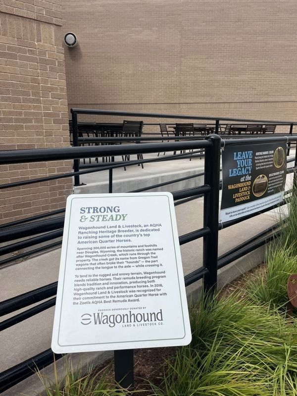
2. Strong & Steady Marker
Another marker is no longer nearby. Amarillo (was approx. 0.6 miles away but has been confirmed missing).
Credits. This page was last revised on September 30, 2026. It was originally submitted on September 29, 2026, by Thomas Smith of Waterloo, Ill. This page has been viewed 11 times since then. Photos: 1, 2. submitted on September 29, 2026, by Thomas Smith of Waterloo, Ill. • James Hulse was the editor who published this page.
