D'lo in Simpson County, Mississippi — The American South (East South Central)
D'Lo And Finkbine Lumber Company
| — | Simpson County Heritage Trail | — |
Photographed by Mark Hilton, September 26, 2026
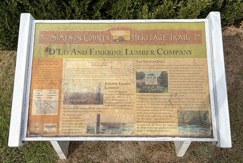
1. D'Lo And Finkbine Lumber Company Marker
What is the Simpson County Heritage Trail? The Simpson County Heritage Trail was established through the Simpson County Development Foundation in 2011. Each stop along the trail is of historic significance to Simpson County, showcasing points of interest and facts about the origins of the County.
Finkbine Lumber Company
In 1914, Finkbine Lumber Company located a huge, modern lumber mill at D'lo at a cost of over $1,000,000. During the 13 years of its operation, Finkbine employed an average daily labor force of about 800, including the mill and the ancillary operations, and produced over 600,000,000 feet of long-leaf pine timber. The impressive remains of the mill, including the smokestack pictured here, still exist. The other contemporary photograph shows milled lumber stacked to the horizon.
The Town of D'Lo,
During the active years of Finkbine Lumber Company, D'Lo had a population of 5,000 and was one the significant mill towns of the southeastern United States. Though reduced in size from its heyday, when it supported a hospital, theater, and the many others amenities of a large town, D'Lo still thrives
this page online
An Anecdotal History of Simpson County
From the Columns of Bee King
The Simpson County News
1937-1948
Through a fissure in a rock in the north bank of Strong River, probably about where the James brothers built their water mill in 1835 near the present town of D'Lo, there used to come low humming sounds somewhat like that of a harp, or the sounds in the shells of the sea. Early settlers called it the "whistling rock," but the Indians called it the "singing stone." They looked upon it as not only supernatural, but as something holy, and conducted ceremonies there. The sounds were doubtless affected largely by the depth of the water in the river and by the seasons of the year. Unfortunately, a simple-minded trapper broke into the singing stone with an axe to find what was in it. Of course, he found nothing, but the singing stone was ruined. It never sang again.
Erected by the
Photographed by Mark Hilton, September 26, 2026
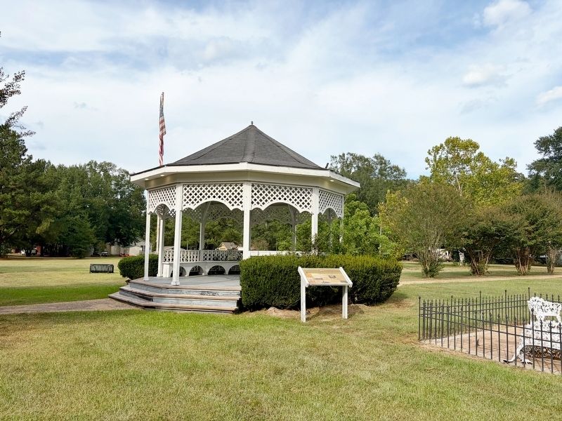
2. D'Lo And Finkbine Lumber Company Marker near town gazebo.
Topics. This historical marker is listed in these topic lists: Horticulture & Forestry • Industry & Commerce • Settlements & Settlers. A significant historical year for this entry is 2011.
Location. 31° 59.172′ N, 89° 54.07′ W. Marker is in D'lo, Mississippi, in Simpson County. It is on Simpson Highway (Mississippi Route 149) north of 1st Street, on the right when traveling north. Located next to the town gazebo. Touch for map. Marker is in this post office area: D Lo MS 39062, United States of America. Touch for directions.

Regionally, this marker is in Natchez Trace Corridor and in Greater Jackson. It is also in the American South and specifically in the Deep South. Globally, it is in North America, a Gulf of Mexico state, the Western Hemisphere, the Western World, and the Anglosphere. Historically, it finds itself in what was once the territory of the Mississippian Culture, one of the Confederate States of America, and the Antebellum South.
Other nearby markers. At least 8 other markers are within 9 miles of this marker, measured as the crow flies: Mendenhall (approx. 2½ miles away); Braxton (approx. 5 miles away); Flags Over Simpson County (approx. 5 miles away); Weathersby and Choctaw Heritage (approx. 5.2 miles away); The Piney Woods School (approx. 7.7 miles away); Martha Louise Morrow Foxx (approx. 7.7 miles away); a different marker also named Piney Woods School (approx. 7.7 miles away); Westville, Mississippi (approx. 8.6 miles away).
Credits. This page was last revised on September 30, 2026. It was originally submitted on September 30, 2026, by Mark Hilton of Montgomery, Alabama. This page has been viewed 3 times since then. Photos: 1, 2. submitted on September 30, 2026, by Mark Hilton of Montgomery, Alabama.
