Keystone in Pennington County, South Dakota — The American Midwest (Upper Plains)
Big Thunder Gold Mine
Photographed by William Fischer, Jr., September 17, 2026
1. Big Thunder Gold Mine Marker
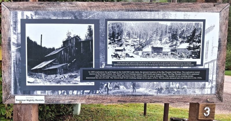
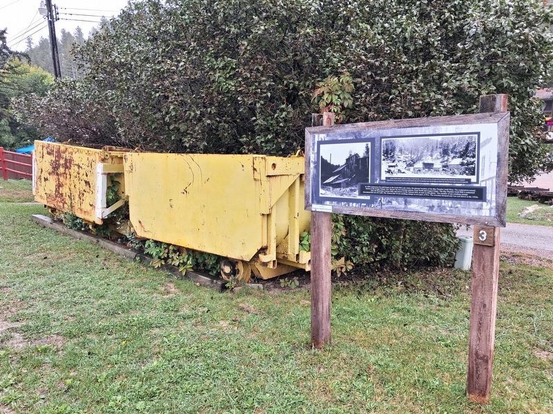
In 1893 exploration for gold began at the Gold Hill Lode claim, the present location of the Big Thunder Gold Mine. The exploration tunnel, known as the Krupp Tunnel, was "driven" by two German miners, Fred Sierth and August Engel. The Big Thunder Gold Mill is patterned after the Keystone Custom Mill, also known as the Tykoon Mill, as seen in this photo [at left]. The number of ore crushing stamps determined the size of a mill. The Tykoon had 10 ore crushing stamps in two pairs of five. The structure decayed and was torn down in the 1920s.
[Right photo caption reads]
A solitary "horseless carriage" is parked near carriages in this photo from July 4, 1916. Note the livery barn on the right and the two blacksmith shops behind the barn. The two blacksmith shops had lower levels next to the creek. The lower level later housed the dairy cattle of the John Hayes family. Note the bridge across Battle Creek which allowed ore wagons to access the Tykoon Mill.
Erected 2005 by Keystone Area Historical Society. (Marker Number 3.)
Topics. This historical marker is listed in these topic lists: Exploration • Industry & Commerce
this page online
Location. 43° 53.688′ N, 103° 25.081′ W. Marker is in Keystone, South Dakota, in Pennington County. It is at the intersection of Madill Street (State Highway 40) and Blair Street, on the right when traveling north on Madill Street. Touch for map. Marker is at or near this postal address: 608 Blair Street, Keystone SD 57751, United States of America. Touch for directions.

Regionally, this marker is in West River, in the Badlands, and in Greater Rapid City. It is also in the American Black Hills, in the Lewis & Clark Corridor, on the prairies, and on the Northern Plains. Globally, it is in North America, the Western Hemisphere, the Western World, and the Anglosphere. Historically, it finds itself in what was once Rupert’s Land and also the Louisiana Purchase.
Other nearby markers. At least 8 other markers are within walking distance of this marker: Charles Upham and the Upham Saloon (within shouting distance of this marker); Hayes-Hopkins Supply Company (within shouting distance of this marker); Henry Loomis House (within shouting distance of
Photographed by William Fischer, Jr., September 17, 2026
2. Big Thunder Gold Mine Marker
Also see . . . Keystone SD Walking Tour. (Submitted on September 30, 2026, by William Fischer, Jr. of Reynoldsburg, Ohio.)
Photographed by William Fischer, Jr., September 21, 2026
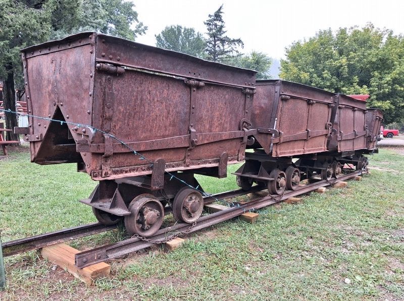
3. Ore Cars Near Big Thunder Gold Mine Marker
Credits. This page was last revised on September 30, 2026. It was originally submitted on September 30, 2026, by William Fischer, Jr. of Reynoldsburg, Ohio. This page has been viewed 5 times since then. Photos: 1, 2, 3. submitted on September 30, 2026, by William Fischer, Jr. of Reynoldsburg, Ohio.
