Keystone in Pennington County, South Dakota — The American Midwest (Upper Plains)
Keystone School
Photographed by William Fischer, Jr., September 17, 2026
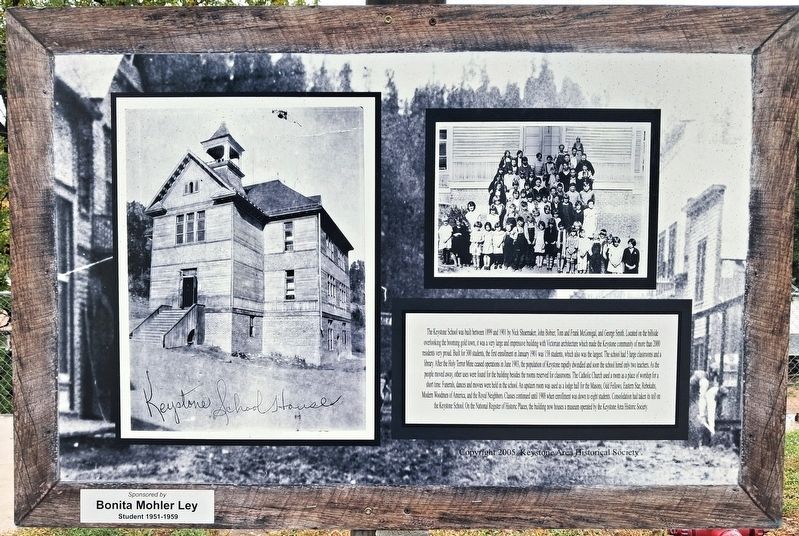
1. Keystone School Marker
The Keystone School was built between 1899 and 1901 by Nick Shoemaker, John Bobier, Tom and Frank McGonigal, and George Smith. Located on the hillside overlooking the booming gold town, it was a very large and impressive building with Victorian architecture which made the Keystone community of more than 200 residents very proud. Built for 300 students, the first enrollment in January 1901 was 158 students, which also was the largest. The school had 5 large classrooms and a library. After the Holy Terror Mine ceased operations in 1903, the population of Keystone rapidly dwindled and soon the school hired only two teachers. As the people moved away, other uses were found for the building besides the rooms reserved for classrooms. The Catholic Church used a room as a place of worship for a short time. Funerals, dances and movies were held in the school. An upstairs room was used as a lodge hall for the Masons, Odd Fellows, Eastern Star, Rebekahs, Modern Woodmen of America, and the Royal Neighbors. Classes continued until 1988 when enrollment was down to eight students. Consolidation had taken its toll on the Keystone School.
this page online
——————————————————————
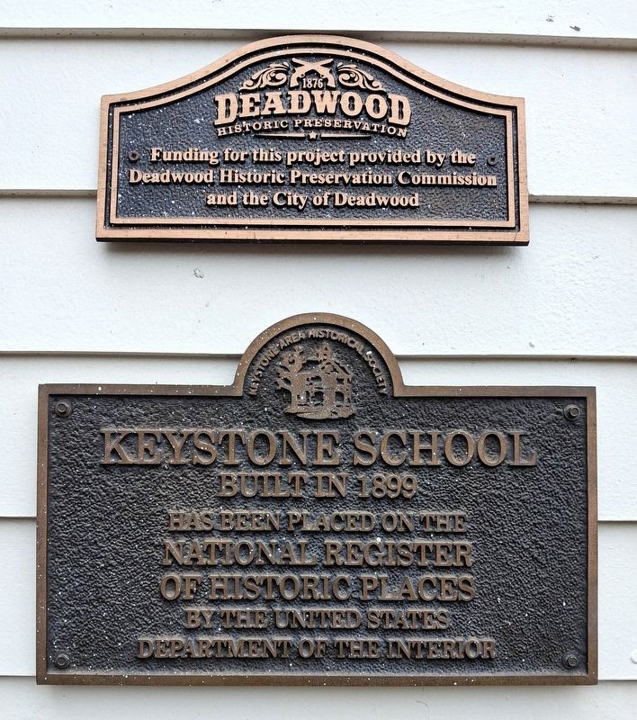
Keystone School
Built in 1899
has been placed on the
National Register
of Historic Places
by the United States
Department of the Interior
Erected 2005 by Keystone Area Historical Society. (Marker Number 18.)
Topics. This historical marker is listed in these topic lists: Architecture • Education • Settlements & Settlers. A significant historical month for this entry is January 1901.
Location. 43° 53.723′ N, 103° 25.216′ W. Marker is in Keystone, South Dakota, in Pennington County. It is on 3rd Street north of Blair Street, on the right when traveling north. Touch for map. Marker is at or near this postal address: 410 3rd Street, Keystone SD 57751, United States of America. Touch for directions.

Regionally, this marker is in West River, in the Badlands, and in Greater Rapid City. It is also in the American Black Hills, in the Lewis & Clark Corridor, on the prairies, and on the Northern Plains. Globally, it is in North America, the Western Hemisphere, the Western
Photographed by William Fischer, Jr., September 21, 2026
2. Keystone School NRHP Marker
Other nearby markers. At least 8 other markers are within walking distance of this marker: 40th Anniversary of "The Flood" (here, next to this marker); First School (within shouting distance of this marker); Historic Keystone in the early 1940s (about 300 feet away, measured in a direct line); Bill Durst (about 300 feet away); U.S. 4th Cavalry Bivouac (about 300 feet away); First Congregational Church (about 300 feet away); Site of the McDonald Hotel (about 400 feet away); Halley's Store Icehouse (about 400 feet away). Touch for a list and map of all markers in Keystone.
Also see . . . Keystone SD Walking Tour. (Submitted on September 30, 2026, by William Fischer, Jr. of Reynoldsburg, Ohio.)
Photographed by William Fischer, Jr., September 17, 2026
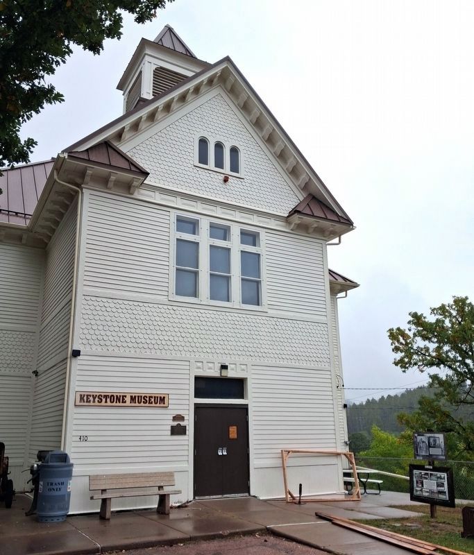
3. Keystone School and Markers
Photographed by William Fischer, Jr., September 21, 2026
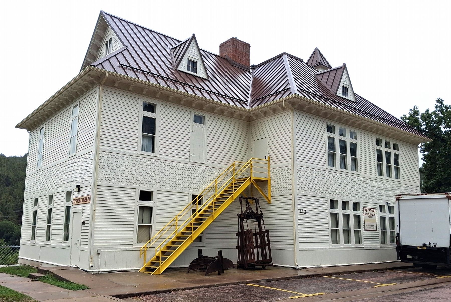
4. Keystone School
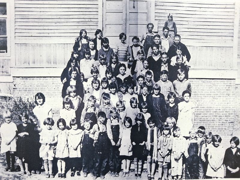
Photographed by Unknown, unknown
5. Keystone School Class Photo on Marker
Credits. This page was last revised on September 30, 2026. It was originally submitted on September 30, 2026, by William Fischer, Jr. of Reynoldsburg, Ohio. This page has been viewed 5 times since then. Photos: 1, 2, 3, 4, 5. submitted on September 30, 2026, by William Fischer, Jr. of Reynoldsburg, Ohio.
