Camden in Minneapolis in Hennepin County, Minnesota — The American Midwest (Upper Plains)
Maple Leaf and Humboldt Heights
"the Country"
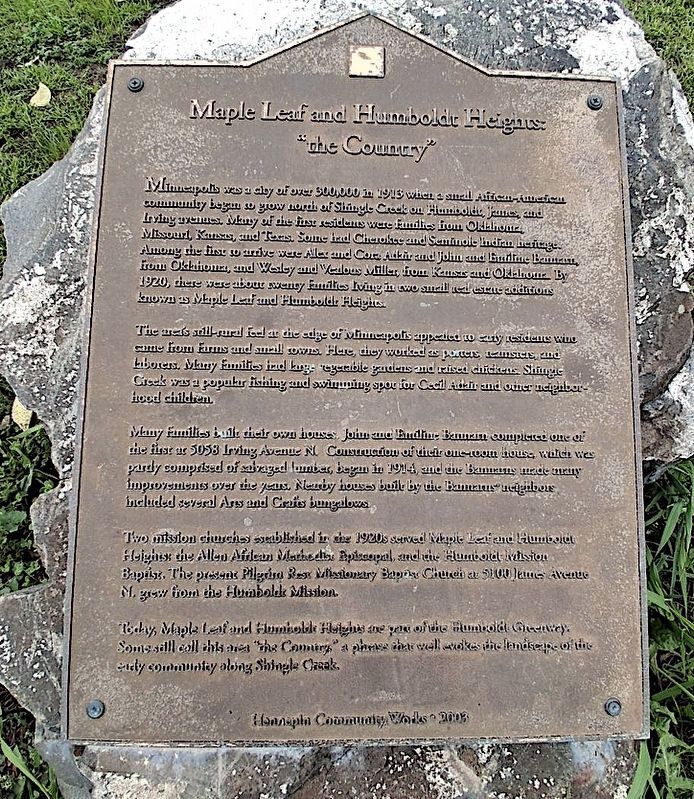
Photographed by Michael J Larson
1. Maple Leaf and Humboldt Heights "the Country" Marker
Dedication plaque by Hennepin County, heralding the history of the area from early settlers to modern times. I attended the then Olson Junior High in the 1960's.
Minneapolis was a city of over 300,000 in 1913 when a small African-American community began to grow north of Shingle Creek on Humboldt, James and Irving avenues. Many of the first residents. were families from Oklahoma, Missouri, Kansas and Texas. Some had Cherokee and Seminole Indian heritage. Among the first to arrive were Alex and Cora Adair and John and Ermiline Bamram from Oklahoma, and Wesley and Verilous Miller, from Kansas and Oklahoma. By 1920, there were about twenty families living in two small real estate additions known as Maple Leaf and Humboldt Heights.
The area's soil - rural feel at the edge of Minneapolis appealed to early residents who came from farms and small towns. Here they worked as porters, teamsters and laborers. Many families had large vegetable gardens and raised chickens. Shingle Creek was a popular fishing and swimming spot for Cecil Adair and other neighborhood children.
Many families built their own houses. John and Emiline Bannam completed one of the first at 5058 Irving Avenue North. Construction of their one-room house, which was partly comprised of salvaged lumber began in 1914
this page online
Two mission churches established in the 1920's served Maple Leaf and Humboldt Heights: the Allen African Methodist Missionary Baptist Church at 5100 James Avenue North grew from the Humboldt Mission.
Today, Maple Leaf and Humboldt Heights are part of the Humboldt Greenway. Some still call this area "The Country", a phrase that well evokes the landscape of the early community along Shingle Creek.
Erected 2003 by Hennepin Community Works.
Topics. This historical marker is listed in these topic lists: African Americans • Settlements & Settlers. A significant historical year for this entry is 1913.
Location. 45° 2.745′ N, 93° 17.98′ W. Marker is in Minneapolis, Minnesota, in Hennepin County. It is in Camden. It is on North Humboldt Avenue north of Humboldt Lane, on the right when traveling north. Touch for map. Marker is at or near this postal address: 5000 N Humboldt Ave, Minneapolis MN 55430, United States of America. Touch for directions.

Regionally, this marker is in the Twin Cities Metropolitan Area.
Photographed by Michael J Larson
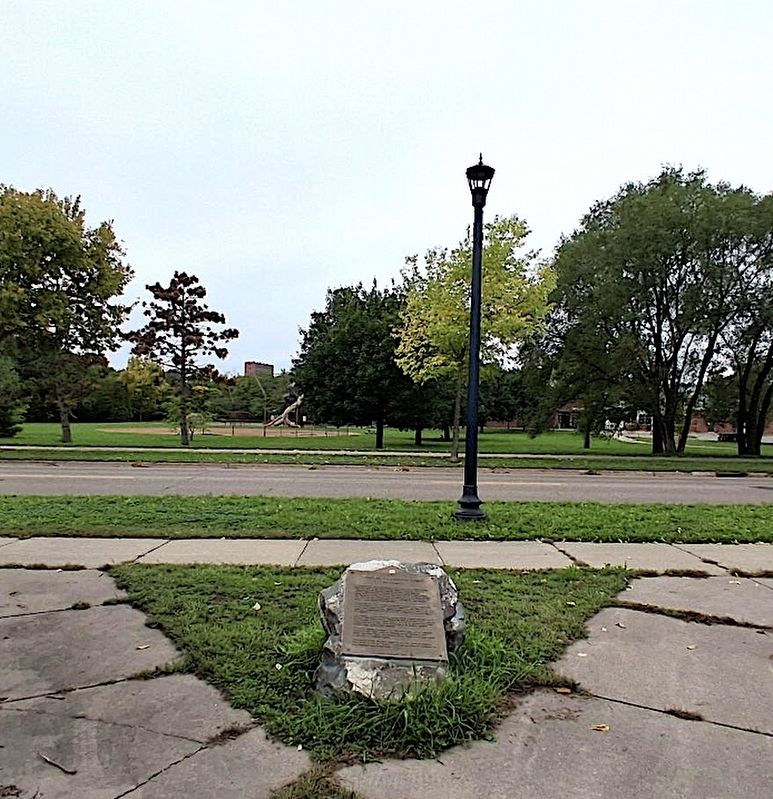
2. Maple Leaf and Humboldt Heights Marker
The view west to the Floyd B. Olson school, named for a former Governor of Minnesota.
Other nearby markers. At least 8 other markers are within 2 miles of this marker, measured as the crow flies: The "Lumberman" (approx. 0.9 miles away); Webber Pool (approx. 0.9 miles away); "Lest We Forget" (approx. 1.1 miles away); The Great War (approx. 1.1 miles away); Grand Army of the Republic (approx. 1.1 miles away); Victory Memorial Drive (approx. 1.1 miles away); To Our Comrades Who "Went West" (approx. 1.1 miles away); a different marker also named Victory Memorial Drive (approx. 1.1 miles away). Touch for a list and map of all markers in Minneapolis.
Credits. This page was last revised on October 2, 2026. It was originally submitted on October 1, 2026, by Michael J Larson of Brooklyn Center, Minnesota. This page has been viewed 22 times since then. Last updated on October 1, 2026, by Michael J Larson of Brooklyn Center, Minnesota. Photos: 1, 2. submitted on October 1, 2026, by Michael J Larson of Brooklyn Center, Minnesota. • Devry Becker Jones was the editor who published this page.
