Keystone in Pennington County, South Dakota — The American Midwest (Upper Plains)
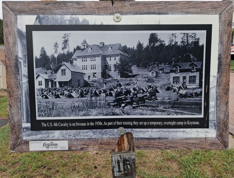
U.S. 4th Cavalry Bivouac
Photographed by William Fischer, Jr., September 17, 2026
1. U.S. 4th Cavalry Bivouac Marker
The U.S. 4th Cavalry is on bivouac in the 1930s.
As part of their training they set up a temporary,
overnight camp in Keystone.
Erected 2005 by Keystone Area Historical Society. (Marker Number 15.)
Topics. This historical marker is listed in this topic list: Military.
Location. 43° 53.768′ N, 103° 25.181′ W. Marker is in Keystone, South Dakota, in Pennington County. It is at the intersection of Mitchell Street and 2nd Street, on the left when traveling west on Mitchell Street. Touch for map. Marker is at or near this postal address: 401 Mitchell Street, Keystone SD 57751, United States of America. Touch for directions.

Regionally, this marker is in West River, in the Badlands, and in Greater Rapid City. It is also in the American Black Hills, in the Lewis & Clark Corridor, on the prairies, and on the Northern Plains. Globally, it is in North America, the Western Hemisphere, the Western World, and the Anglosphere. Historically, it finds itself in what was once Rupert’s Land and also the Louisiana Purchase.
Other nearby markers. At least 8 other
this page online
Also see . . . Keystone SD Walking Tour. (Submitted on October 2, 2026, by William Fischer, Jr. of Reynoldsburg, Ohio.)
Photographed by William Fischer, Jr., September 17, 2026
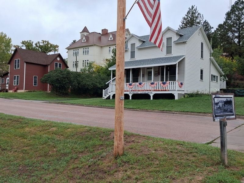
2. U.S. 4th Cavalry Bivouac Marker
Shows bivouac area today
Credits. This page was last revised on October 2, 2026. It was originally submitted on October 2, 2026, by William Fischer, Jr. of Reynoldsburg, Ohio. This page has been viewed 4 times since then. Photos: 1, 2. submitted on October 2, 2026, by William Fischer, Jr. of Reynoldsburg, Ohio.
