North Walsham in Norfolk, England, United Kingdom — Northwestern Europe (the British Isles)
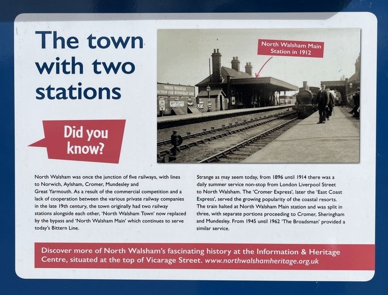
The town with two stations
Photographed by Ray Gurganus, April 23, 2026
1. The town with two stations Marker
Strange as may seem today, from 1896 until 1914 there was a daily summer service non-stop from London Liverpool Street to North Walsham. The 'Cromer Express', later the 'East Coast Express', served the growing popularity of the coastal resorts. The train halted at North Walsham Main station and was split in three, with separate portions proceeding to Cromer, Sheringham and Mundesley. From 1945 until 1962 "The Broadsman' provided a similar service.
Topics. This historical marker is listed in this topic list: Railroads & Streetcars.
Location. 52° 49.071′ N, 1° 23.066′ E. Marker is in North Walsham, England, in Norfolk. It is on
this page online

Regionally, this marker is in East Anglia. Globally, it is on the Atlantic Ocean, in the North Atlantic Region, in Europe, in Atlantic Europe, on one of the British Isles, in the Western World, and in the Anglosphere. Historically, it finds itself in what was once the Roman Empire.
Other nearby markers. At least 8 other markers are within 23 kilometers of this marker, measured as the crow flies: The Pastons in North Walsham (approx. 0.4 kilometers away); Bronze Ballet, 1940 (approx. 14 kilometers away); Elm Hill (approx. 21.5 kilometers away); Pull's Ferry (approx. 21.5 kilometers away); Pull's Ferry House (approx. 21.5 kilometers away); Wrights Court (approx. 21.5 kilometers away); Edith Cavell (approx. 21.5 kilometers away); Augustine Steward House (approx. 21.5 kilometers away).
Credits. This page was last revised on October 5, 2026. It was originally submitted on October 2, 2026, by Ray Gurganus of Washington, District of Columbia. This page has been viewed 4 times since then. Photo 1. submitted on October 2, 2026, by Ray Gurganus of Washington, District of Columbia. • Andrew Ruppenstein was the editor who published this page.
Editor’s want-list for this marker. photo of the marker within its surroundings • Can you help?
