Great Malvern in Worcestershire, England, United Kingdom — Northwestern Europe (the British Isles)
Sandstones
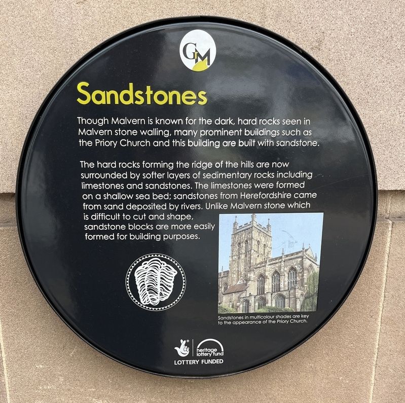
Photographed by Ray Gurganus, May 13, 2026
1. Sandstones Marker
The hard rocks forming the ridge of the hills are now surrounded by softer layers of sedimentary rocks including limestones and sandstones. The limestones were formed on a shallow sea bed; sandstones from Herefordshire came from sand deposited by rivers. Unlike Malvern stone which is difficult to cut and shape, sandstone blocks are more easily formed for building purposes. Sandstones in multicolour shades are key to the appearance of the Priory Church.
Topics. This historical marker is listed in this topic list: Architecture.
Location. 52° 6.703′ N, 2° 19.789′ W. Marker is in Great Malvern, England, in Worcestershire. It is at the intersection of Church Street and Edith Walk, on the left when traveling south on Church Street. Touch for map. Marker is at or near this postal address: 1 Church Street, Great Malvern, England WR14 2AB, United Kingdom. Touch for directions.

Regionally, this marker
this page online
Other nearby markers. At least 8 other markers are within 11 kilometers of this marker, measured as the crow flies: The Water Cure (within shouting distance of this marker); Malvhina Spout of Malvern Spring Water (within shouting distance of this marker); Leading the Field (about 150 meters away, measured in a direct line); Malvern's 19th Century Boom (approx. 0.8 kilometers away); The Edinburgh Dome (approx. 0.8 kilometers away); Frieda Salvendy (approx. 1.2 kilometers away); North Parade (approx. 11.4 kilometers away); South Parade (approx. 11.4 kilometers away). Touch for a list and map of all markers in Great Malvern.
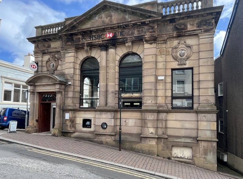
Photographed by Ray Gurganus, May 13, 2026
2. Sandstones Marker
Credits. This page was last revised on October 3, 2026. It was originally submitted on October 3, 2026, by Ray Gurganus of Washington, District of Columbia. This page has been viewed 5 times since then. Photos: 1, 2. submitted on October 3, 2026, by Ray Gurganus of Washington, District of Columbia. • Andrew Ruppenstein was the editor who published this page.
