
Kingston in South Kingstown in Washington County, Rhode Island — The American Northeast (New England)
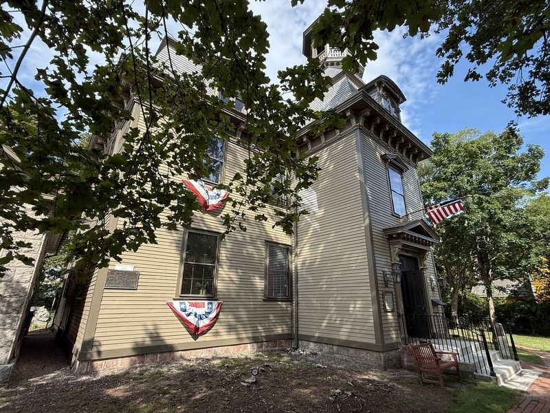
Kings County Court House
1776 - 1907
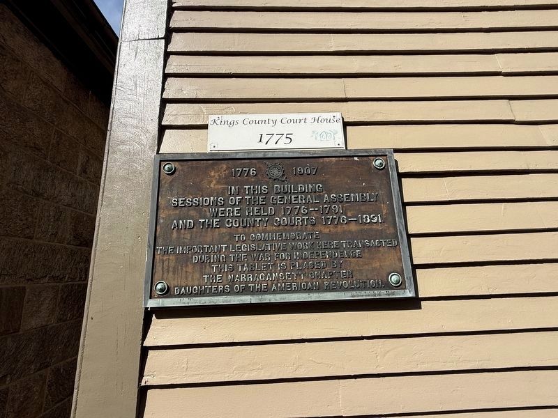

In this building sessions of the General Assembly were held 1776-1791 and the county courts 1776-1891
To commemorate the important legislative work here transacted during the War for Independence this tablet is placed by the Narragansett Chapter, Daughters of the American Revolution
Erected 1907 by Narragansett Chapter, Daughters of the American Revolution.
Topics and series. This historical marker is listed in these topic lists: Government & Politics • War, US Revolutionary. In addition, it is included in the Daughters of the American Revolution (DAR) series list.
Location. 41° 28.836′ N, 71° 31.518′ W. Marker is in South Kingstown, Rhode Island, in Washington County. It is in Kingston. It is at the intersection of Kingstown Road (Rhode Island Route 138) and Upper College Road, on the right when traveling west on Kingstown Road. Touch for map. Marker is at or near this postal address: 2605 Kingstown Rd, Kingston RI 02881, United States of America. Touch for directions.

Regionally, this marker is on Narragansett Bay and in South County. It is
this page online
Other nearby markers. At least 8 other markers are within 5 miles of this marker, measured as the crow flies: "Little Rest" (a few steps from this marker); Washington County Jail (about 300 feet away, measured in a direct line); Griffin's Hollow (approx. 3.2 miles away); Carter Jackson Monument (approx. 3½ miles away); a different marker also named The Great Swamp Fight (approx. 3.7 miles away); Pettaquamscutt Rock (approx. 3.9 miles away); Rhode Island National Guard (approx. 4.3 miles away); Honor Roll Town of Narragansett World War (approx. 4.4 miles away). Touch for a list and map of all markers in South Kingstown.
Another marker is no longer nearby. The Great Swamp Fight (was approx. 3.6 miles away but has been confirmed missing).
Credits. This page was last revised on October 4, 2026. It was originally submitted on October 4, 2026, by Devry Becker Jones of Washington, District of Columbia. This page has been viewed 13 times since then. Photos: 1, 2. submitted on October 4, 2026, by Devry Becker Jones of Washington, District of Columbia.
