Rice in Prince Edward County, Virginia — The American South (Mid-Atlantic)
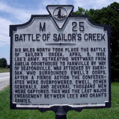
Battle of Sailor's Creek
Six miles north took place the Battle of Sailor's Creek, April 6, 1865. Lee's army, retreating westward from Amelia Courthouse to Farmville by way of Deatonsville, was attacked by Sheridan, who surrounded Ewell's Corps. After a fierce action the Confederates were overpowered. Ewell, other generals, and several thousand men were captured. This was the last major engagement between Lee's and Grant's armies.
Erected 1946 by Virinia Conservation Commission. (Marker Number M-25.)
Topics and series. This historical marker is listed in this topic list: War, US Civil. In addition, it is included in the Virginia Department of Historic Resources (DHR) series list. A significant historical date for this entry is April 6, 1896.
Location. 37° 16.2′ N, 78° 17.066′ W. Marker is in Rice, Virginia, in Prince Edward County. Marker is at the intersection of Prince Edward Highway (U.S. 460) and Pisgah Church Road (County Route 735), on the right when traveling west on Prince Edward Highway. Touch for map. Marker is in this post office area: Rice VA 23966, United States of America. Touch for directions.
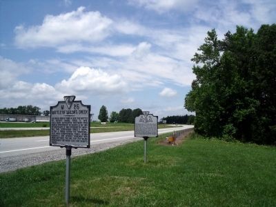
Other nearby markers. At least 8 other markers are within 3 miles of this marker, measured as the crow flies. Action at High Bridge (a few steps from this marker); Rice’s Depot (approx. 0.4 miles away); a different marker also named Rice’s Depot (approx. 0.4 miles away); High Bridge (approx. 2.2 miles away); Cavalry Battle at High Bridge (approx. 2.2 miles away); a different marker also named Cavalry Battle at High Bridge (approx. 2.2 miles away); Lee's Retreat (approx. 2.6 miles away); Prince Edward County / Nottoway County (approx. 2.6 miles away). Touch for a list and map of all markers in Rice.
Also see . . .
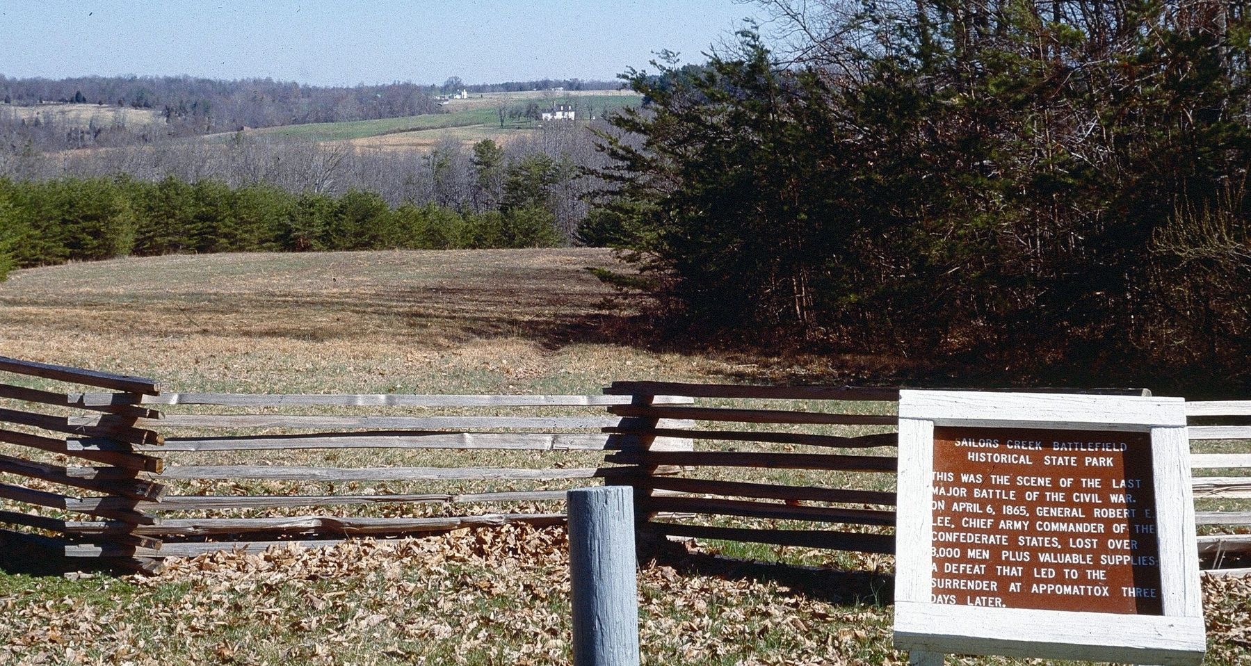
1. Sailor's Creek Battlefield Historical State Park. Virginia Department of Conservation and Recreation website entry (Submitted on May 30, 2010.)
2. Sailor's Creek (Sayler's Creek). American Battlefield Trust website entry (Submitted on May 30, 2010.)
3. Sayler's Creek Battlefield. National Register of Historic Places Nomination Form (Submitted on November 11, 2021.)
Credits. This page was last revised on December 12, 2023. It was originally submitted on May 30, 2010, by Bernard Fisher of Richmond, Virginia. This page has been viewed 1,344 times since then and 18 times this year. Photos: 1, 2. submitted on May 30, 2010, by Bernard Fisher of Richmond, Virginia. 3. submitted on December 12, 2023, by Larry Gertner of New York, New York.


