Pennsville in Pennsville Township in Salem County, New Jersey — The American Northeast (Mid-Atlantic)
Welcome
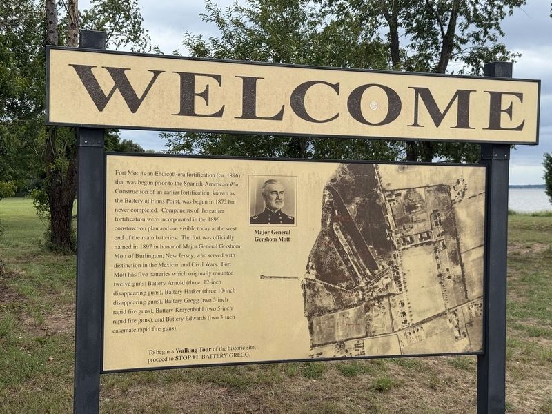
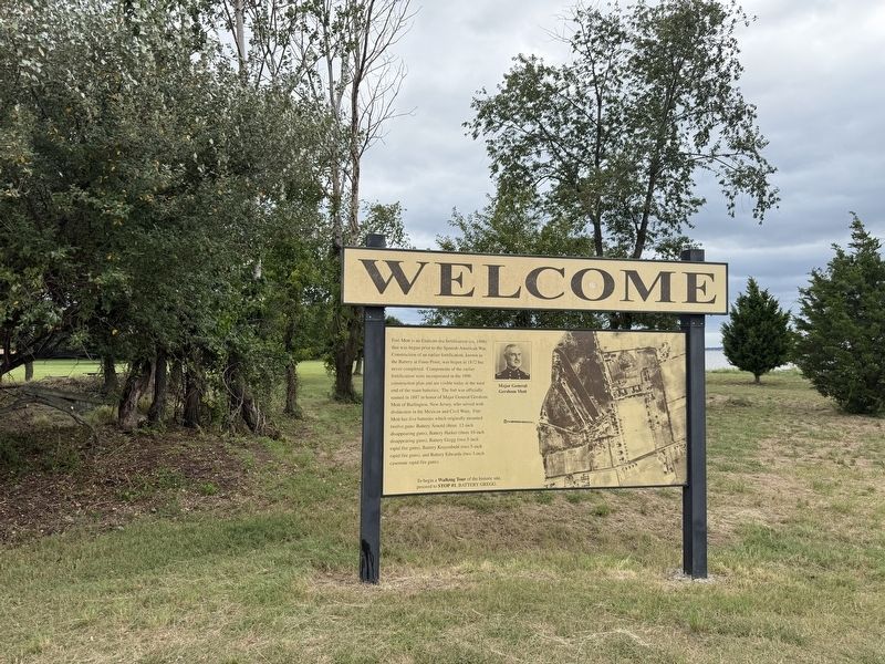
Fort Mott is an Endicott-era fortification (ca. 1896) that was begun prior to the Spanish-American War. Construction of an earlier fortification, known as the Battery at Finns Point, was begun in 1872 but never completed. Components of the earlier fortification were incorporated in the 1896 construction plan and are visible today at the west end of the main batteries. The fort was officially named in 1897 in honor of Major General Gershom Mott of Burlington, New Jersey, who served with distinction in the Mexican and Civil Wars. Fort Mott has five batteries which originally mounted twelve guns: Battery Arnold (three 12-inch disappearing guns), Battery Harker (three 10-inch disappearing guns), Battery Gregg (two 5-inch rapid fire guns), Battery Krayenbuhl (two 5-inch rapid fire guns), and Battery Edwards (two 3-inch case mates rapid fire guns).
To begin a Walking Tour of the historic site, proceed to Stop #1, Battery Gregg.
Topics. This historical marker is listed in these topic lists: Forts and Castles • War, Spanish-American. A significant historical year for this entry is 1872.
Location. 39° 36.132′ N, 75° 33.186′ W.
this page online

Regionally, this marker is in Greater Wilmington, in South Jersey, and in Greater Philadelphia. It is also in the American Northeast, in the Mid-Atlantic, and on the Eastern Seaboard. Globally, it is in the North Atlantic Region, North America, the Western Hemisphere, the Western World, and the Anglosphere. Historically, it finds itself in what was once New Netherland and also one of the original Thirteen Colonies.
Other nearby markers. At least 8 other markers are within walking distance of this marker: Pea Patch Island Heronry (a few steps from this marker); Pea Patch Island (about 600 feet away, measured in a direct line); The Wharf (about 600 feet away); Two Batteries in one (about 600 feet away); Battery Arnold (about 600 feet away); Generator Room (about 700 feet away); Switchboard Room / Plotting Room (about 700 feet
Credits. This page was last revised on October 4, 2026. It was originally submitted on October 4, 2026, by Devry Becker Jones of Washington, District of Columbia. This page has been viewed 4 times since then. Photos: 1, 2. submitted on October 4, 2026, by Devry Becker Jones of Washington, District of Columbia.
