Fall River in Bristol County, Massachusetts — The American Northeast (New England)
Mechanics Mill
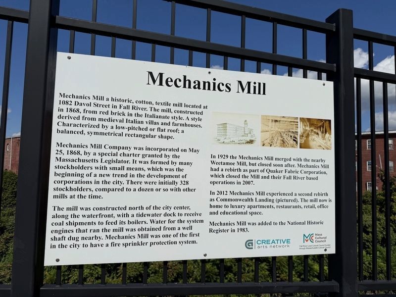
Mechanics Mill is a historic, cotton, textile mill located at 1082 Davol Street in Fall River. The mill, constructed in 1868, from red brick in the Italianate style. A style derived from medieval Italian villas and farmhouses. Characterized by a low-pitched or flat roof; a balanced, symmetrical rectangular shape.
Mechanics Mill Company was incorporated on May 25, 1868, by a special charter granted by the Massachusetts Legislator. It was formed by many stockholders with small means, which was the beginning of a new trend in the development of corporations in the city. There were initially 328 stockholders, compared to a dozen or so with other mills at the time.
The mill was constructed north of the city center, along the waterfront, with the tidewater dock to receive coal shipments to feed its boilers. Water for the system engines that ran the mill was obtained from a well shaft dug nearby. Mechanics Mill was one of the first in the city to have a fire sprinkler protection system.
In 1929 the Mechanics Mill merged with the nearby Weetamoe Mill, but closed soon after. Mechanics Mill had a rebirth as part of Quaker
this page online
In 2012 Mechanics Mill expereinced a second rebirth as Commonwealth Landing (pictured). The mill now is home to luxury apartments, restaurants, retail, office and educational space.
Mechanics Mill was added to the National Historic Register in 1983.
Erected by Creative Arts Network; Mass Cultural Council.
Topics. This historical marker is listed in these topic lists: Architecture • Industry & Commerce. A significant historical date for this entry is May 25, 1868.
Location. 41° 42.112′ N, 71° 9.72′ W. Marker is in Fall River, Massachusetts, in Bristol County. It is on Western Fall River Expressway east of Water Street Connector, on the right when traveling west. Touch for map. Marker is at or near this postal address: 21 Broadway, Fall River MA 02721, United States of America. Touch for directions.

Regionally, this marker is in the South Coast. It is also in the American Northeast, in New England, and on the Eastern Seaboard. Globally, it is in the North Atlantic Region, North America, the Western Hemisphere, the Western World, and
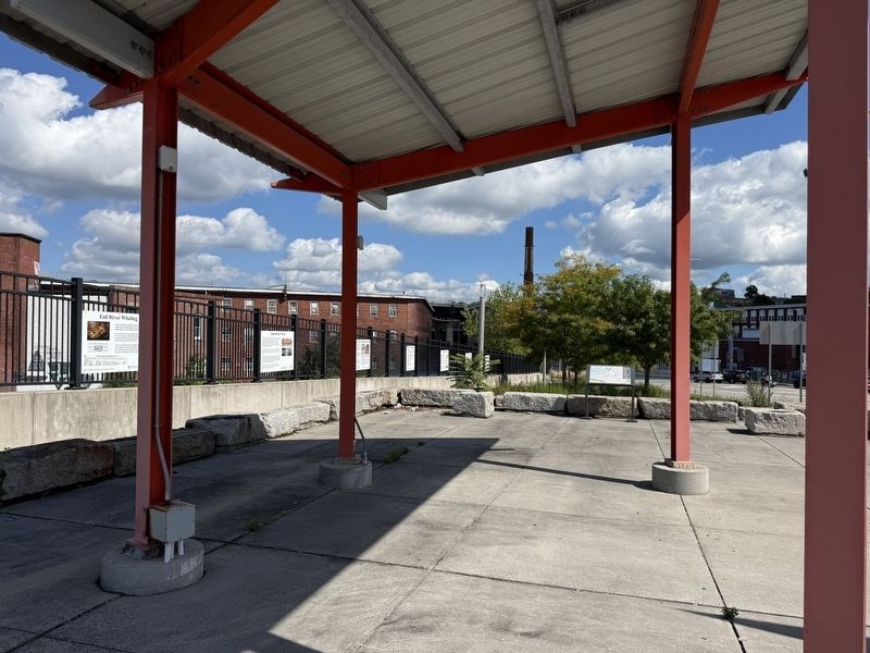
Other nearby markers. At least 8 other markers are within walking distance of this marker: Fall River and Ponta Delgada, Sister Cities (here, next to this marker); Fall River Line: Floating Palaces (a few steps from this marker); "Hortensia" (a few steps from this marker); American Print (a few steps from this marker); Fall River Whaling (a few steps from this marker); Portuguese Presidential Visit (about 600 feet away, measured in a direct line); Gates of the City (about 600 feet away); White Star Line (about 600 feet away). Touch for a list and map of all markers in Fall River.
Credits. This page was last revised on October 4, 2026. It was originally submitted on October 4, 2026, by Devry Becker Jones of Washington, District of Columbia. This page has been viewed 2 times since then. Photos: 1, 2. submitted on October 4, 2026, by Devry Becker Jones of Washington, District of Columbia.
