Keystone in Pennington County, South Dakota — The American Midwest (Upper Plains)
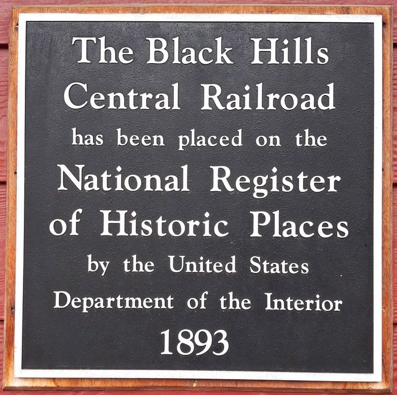
The Black Hills Central Railroad
1893
Photographed by William Fischer, Jr., September 21, 2026
1. The Black Hills Central Railroad NRHP Marker
has been placed on the
National Register
of Historic Places
by the United States
Department of the Interior
Erected by the Black Hills Central Railroad.
Topics. This historical marker is listed in these topic lists: Industry & Commerce • Railroads & Streetcars. A significant historical year for this entry is 1893.
Location. 43° 53.595′ N, 103° 25.551′ W. Marker is in Keystone, South Dakota, in Pennington County. It is at the intersection of Winter Street (U.S. 16A) and Swanzey Street, on the right when traveling south on Winter Street. Touch for map. Marker is at or near this postal address: 103 Winter Street, Keystone SD 57751, United States of America. Touch for directions.

Regionally, this marker is in West River, in the Badlands, and in Greater Rapid City. It is also in the American Black Hills, in the Lewis & Clark Corridor, on the prairies, and on the Northern Plains. Globally, it is in North America, the Western Hemisphere, the Western World, and the Anglosphere. Historically, it finds itself in what was once Rupert’s Land and also the Louisiana Purchase.
Other nearby markers. At least
this page online
Regarding The Black Hills Central Railroad. National Register Statement of Significance excerpt:
The Burlington and Quincy High Line Hill City to Keystone Branch is historically significant for its role in the development of the American frontier specifically the Black Hills of South Dakota. This isolated line that the Black Hills Central Railroad operates today is the only remnant left of the 106.4 mile Burlington and Quincy High Line from Edgemont, SD to Deadwood, SD. The rail line serviced the mines, lumber industry and hauled passengers from its construction in 1890-91 to 1983. The construction
Photographed by William Fischer, Jr., September 21, 2026
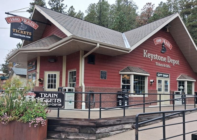
2. The Black Hills Central Railroad Depot and NRHP Marker
Related marker. Click here for another marker that is related to this marker.
Also see . . . Burlington and Quincy High Line Hill City to Keystone Branch National Register Registration Form. (Submitted on October 4, 2026, by William Fischer, Jr. of Reynoldsburg, Ohio.)
Photographed by William Fischer, Jr., September 21, 2026
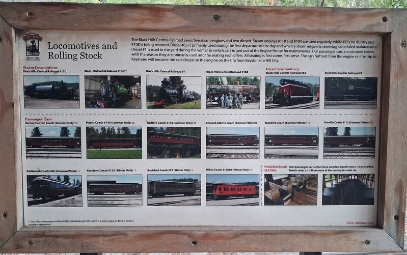
3. Black Hills Central Railroad Locomotives and Rolling Stock
Informational and not transcribed
Photographed by William Fischer, Jr., September 21, 2026
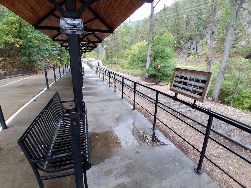
4. Black Hills Central Railroad Marker and Loading Platform
Credits. This page was last revised on October 4, 2026. It was originally submitted on October 4, 2026, by William Fischer, Jr. of Reynoldsburg, Ohio. This page has been viewed 4 times since then. Photos: 1, 2, 3, 4. submitted on October 4, 2026, by William Fischer, Jr. of Reynoldsburg, Ohio.
