Contractor's Gulch in Gardiner in Jefferson County, Washington — The American West (Northwest)
Captain George Vancouver's Exploration of the Waters
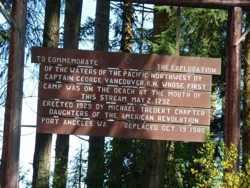
Photographed by Janis Flanagan, April 25, 2016
1. The marker is mounted in the trees.
To commemorate the exploration of the waters of the Pacific Northwest by Captain George Vancouver R.N. whose first camp was on the beach at the mouth of this stream May 2, 1792. Erected 1929 by Michael Trebert Chapter Daughters of the American Revolution Port Angeles, WA. Replaced Oct. 19, 1985.
Erected 1985 by Michael Trebert Chapter, Daughters of the American Revolution.
Topics. This historical marker is listed in this topic list: Exploration. A significant historical year for this entry is 1792.
Location. 48° 2.46′ N, 122° 52.765′ W. Marker is in Gardiner, Washington, in Jefferson County. It is in Contractor's Gulch. It is on Olympic Highway (U.S. 101 at milepost 278), 0.1 miles north of Old Gardiner Rd, on the right when traveling west. On the roadside north of Discovery Bay on Highway 101, milepost 278. It is between Gardiner and Discovery Bay. Touch for map. Marker is at or near this postal address: 276799 US-101, Sequim WA 98382, United States of America. Touch for directions.

Regionally, this marker is in the Olympic Peninsula. It is also on the American Pacific Coast, in the Pacific Northwest, and
this page online
Other nearby markers. At least 8 other markers are within 8 miles of this marker, measured as the crow flies: Discovery Bay (approx. 1.1 miles away); Honoring Marvin Glenn Shields CMA3, USN (approx. 6.3 miles away); Civil War Memorial (approx. 6.8 miles away); Chief Chetzemoka (approx. 7.1 miles away); Chetzemoka (approx. 7.1 miles away); Sentinel Rock (approx. 7.1 miles away); qatáy Prairie (approx. 7.1 miles away); World War Memorial (approx. 7.1 miles away).
Other markers no longer nearby. Captain George Vancouver R.N. (was here, next to this marker but has been replaced with another marker now near it); Marvin Glenn Shields (was approx. 6.3 miles away but has been replaced with another marker now near it).
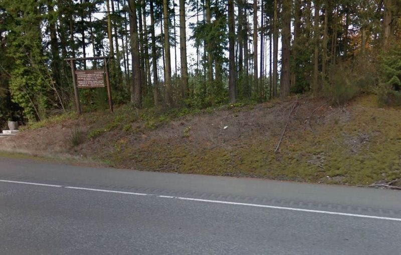
Photographed by Google Map Capture, April 14, 2016
2. The marker as seen from the road.
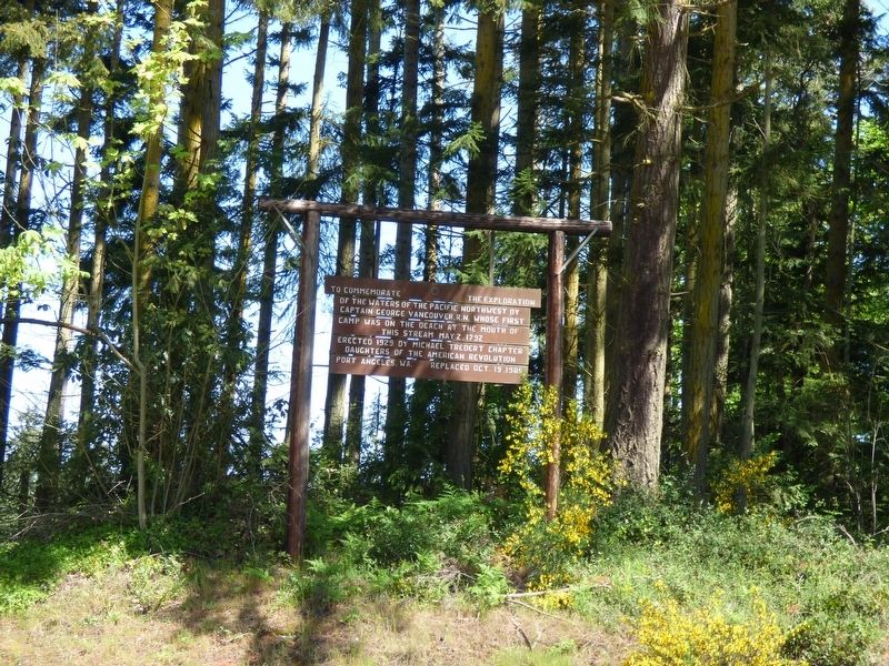
Photographed by Janis Flanagan, April 25, 2016
3. To commemorate the exploration Marker
Credits. This page was last revised on October 6, 2026. It was originally submitted on October 5, 2026, by Shirley A Stirling of Lacey, Washington. This page has been viewed 6 times since then. Photos: 1, 2, 3. submitted on October 5, 2026, by Shirley A Stirling of Lacey, Washington. • James Hulse was the editor who published this page.
