Muncy Township in Lycoming County, Pennsylvania — The American Northeast (Mid-Atlantic)
Fort Muncy
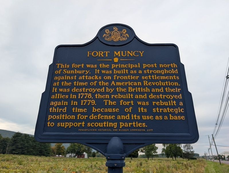
Photographed by Mike Wintermantel, October 1, 2026
1. Fort Muncy Marker
Erected 2017 by Pennsylvania Historical and Museum Commission.
Topics. This historical marker is listed in these topic lists: Forts and Castles • Settlements & Settlers • War, US Revolutionary. A significant historical year for this entry is 1778.
Location. 41° 14.221′ N, 76° 49.798′ W. Marker is in Muncy, Pennsylvania, in Lycoming County. It is in Muncy Township. It is at the intersection of Lycoming Mall Drive and Mall Parkway, on the right when traveling east on Lycoming Mall Drive. Touch for map. Marker is at or near this postal address: 1699 Lycoming Mall Dr, Muncy PA 17756, United States of America. Touch for directions.

Regionally, this marker is in the Pennsylvania Wilds and in the Susquehanna Valley. It is also
this page online
Other nearby markers. At least 8 other markers are within 3 miles of this marker, measured as the crow flies: Veterans Memorial (approx. 0.7 miles away); Muncy Township Volunteer Fire Department (approx. 1.6 miles away); Pennsdale Meeting (approx. 1.7 miles away); Capt. John Brady (approx. 2½ miles away); a different marker also named Capt. John Brady (approx. 2.6 miles away); Muncy (approx. 2.8 miles away); Old Walton Cemetery (approx. 2.8 miles away); a different marker also named Muncy (approx. 3.1 miles away). Touch for a list and map of all markers in Muncy.
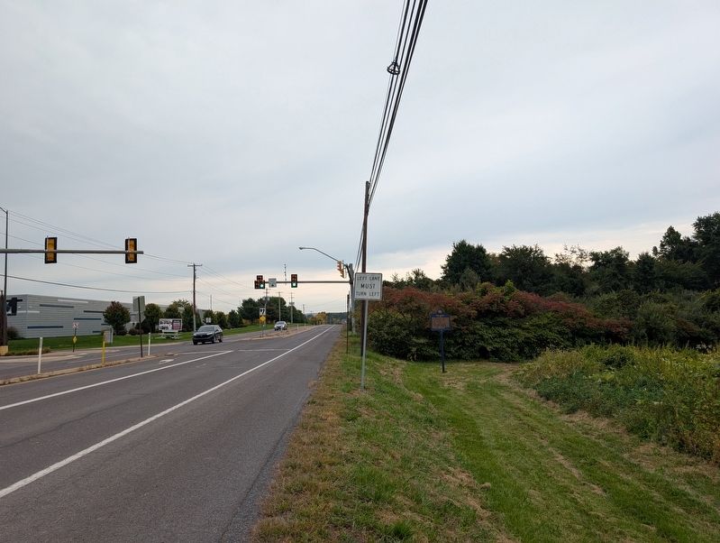
Photographed by Mike Wintermantel, October 1, 2026
2. Fort Muncy Marker
Credits. This page was last revised on October 5, 2026. It was originally submitted on October 5, 2026, by Mike Wintermantel of Pittsburgh, Pennsylvania. This page has been viewed 6 times since then. Photos: 1, 2. submitted on October 5, 2026, by Mike Wintermantel of Pittsburgh, Pennsylvania.
