Huntington in Huntington County, Indiana — The American Midwest (Great Lakes)
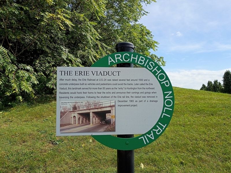
The Erie Viaduct
| — | Archbishop Noll Trail | — |
Photographed by Craig Doda, September 13, 2026
1. The Erie Viaduct Marker
After much delay, the Erie Railroad at U.S.-24 was raised several feet around 1930 and a concrete underpass built so vehicles and pedestrians could avoid the tracks. Later called the Erie Viaduct, this landmark served for more than 50 years as the "entry" to Huntington from the northeast. Residents would honk their horns to hear the echo and announce their comings and goings when traversing the underpass. Following the shutdown of the Erie rail line, the viaduct was removed in December 1983 as part of a drainage improvement project.
[Caption:]
Erie Viaduct with Old Car Passing (ca. 1983) (looking east)
Topics. This historical marker is listed in these topic lists: Bridges & Viaducts • Railroads & Streetcars. A significant historical month for this entry is December 1983.
Location. 40° 53.478′ N, 85° 29.358′ W. Marker is in Huntington, Indiana, in Huntington County. It is at the intersection of 2nd Street and First Street, on the right when traveling east on 2nd Street. Touch for map. Marker is at or near this postal address: 1251 2nd St, Huntington IN 46750, United States of America. Touch for directions.

Regionally, this
this page online
Other nearby markers. At least 8 other markers are within walking distance of this marker: A Business By Any Name (within shouting distance of this marker); The Wabash & Erie Canal (approx. 0.2 miles away); Huntington County Civil War Memorial (approx. half a mile away); Huntington High School / General James R. Slack 1818 - 1881 (approx. half a mile away); Old Plat Historic District (approx. half a mile away); Fred A. Loew (approx. half a mile away); Burk’s Lock (approx. 0.6 miles away); a different marker also named Fred A. Loew (approx. 0.6 miles away). Touch for a list and map of all markers in Huntington.
Photographed by Craig Doda, September 13, 2026
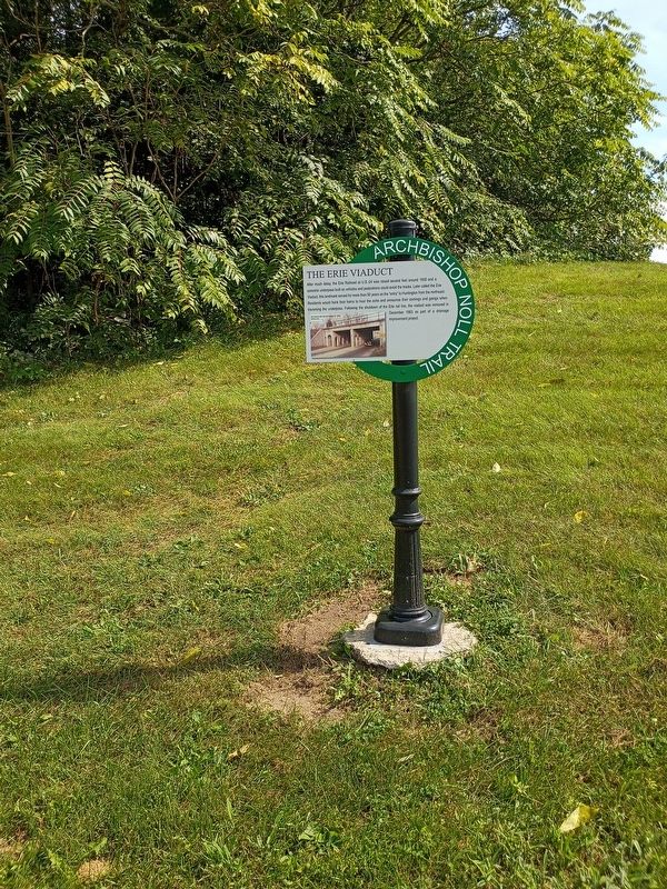
2. The Erie Viaduct Marker
Credits. This page was last revised on October 9, 2026. It was originally submitted on October 5, 2026, by Craig Doda of Napoleon, Ohio. This page has been viewed 4 times since then. Photos: 1, 2. submitted on October 5, 2026, by Craig Doda of Napoleon, Ohio. • Devry Becker Jones was the editor who published this page.
