Huntington in Huntington County, Indiana — The American Midwest (Great Lakes)
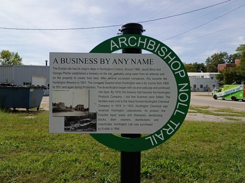
A Business By Any Name
| — | Archbishop Noll Trail | — |
Photographed by Craig Doda, September 13, 2026
1. A Business By Any Name Marker
The Ecolab site has its origins deep in Huntington’s history. Around 1866, Jacob Boos and George Pfahler established a brewery on the site, probably using water from an artesian well on the property to create their beer. After several successor companies, this became the Huntington Brewery in 1901. The company adapted when Huntington was a dry county from 1909 to 1911 and again during Prohibition. The diversification began with ice and soda pop and continued into dyes. By 1918, the brewery had become the Huntington Products Company – but that business soon folded. The facilities were sold to the newly formed Huntington Chemical Company in 1919. In 1923, Huntington Chemical was renamed Huntington Laboratories. Its product line included liquid soaps and shampoos, deodorizing blocks, drain cleaners, disinfectants and insecticides. Huntington Lab was purchased by Ecolab in 1996.
Topics. This historical marker is listed in this topic list: Industry & Commerce. A significant historical year for this entry is 1866.
Location. 40° 53.46′ N, 85° 29.372′ W. Marker is in Huntington, Indiana, in Huntington County. It is at the intersection
this page online

Regionally, this marker is in Northern Indiana. It is also in the American Midwest and in the Corn Belt. Globally, it is in North America, the Western Hemisphere, the Western World, and the Anglosphere. Historically, it finds itself in what was once the territory of the Mississippian Culture and also the Northwest Territory.
Other nearby markers. At least 8 other markers are within walking distance of this marker: The Erie Viaduct (within shouting distance of this marker); The Wabash & Erie Canal (approx. 0.2 miles away); Huntington County Civil War Memorial (approx. half a mile away); Huntington High School / General James R. Slack 1818 - 1881 (approx. half a mile away); Old Plat Historic District (approx. half a mile away); Fred A. Loew (approx. half a mile away); Burk’s Lock (approx. 0.6 miles away); Rock House (approx. 0.6 miles away). Touch for a list and map of all markers in Huntington.
Photographed by Craig Doda, September 13, 2026
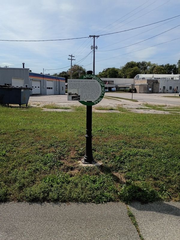
2. A Business By Any Name Marker
Credits. This page was last revised on October 9, 2026. It was originally submitted on October 5, 2026, by Craig Doda of Napoleon, Ohio. This page has been viewed 4 times since then. Photos: 1, 2. submitted on October 5, 2026, by Craig Doda of Napoleon, Ohio. • Devry Becker Jones was the editor who published this page.
