Merriam Park in Saint Paul in Ramsey County, Minnesota — The American Midwest (Upper Plains)
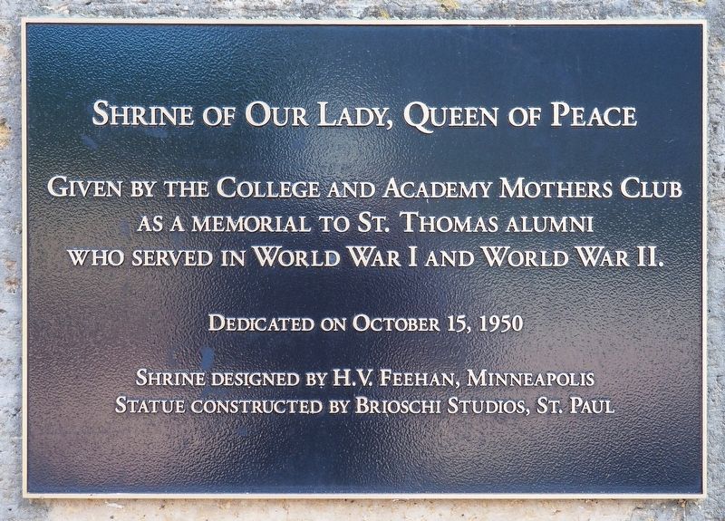
Shrine of Our Lady, Queen of Peace
Photographed by McGhiever, August 23, 2025
1. Shrine of Our Lady, Queen of Peace Marker
Dedicated on October 15, 1950
Shrine designed by H.V. Feehan, Minneapolis
Statue constructed by Brioschi Studios, St. Paul
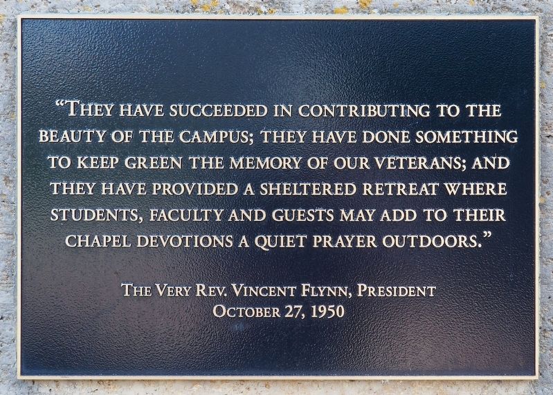
"They have succeeded in contributing to the beauty of the campus; they have done something to keep green the memory of our veterans; and they have provided a sheltered retreat where students, faculty and guests may add to their chapel devotions a quiet prayer outdoors."
The Very Rev. Vincent Flynn, President
October 27, 1950
Erected by the University of St. Thomas.
Topics. This memorial is listed in these topic lists: Religion & Religious Structures • War, World I • War, World II.
Location. 44° 56.653′ N, 93° 11.313′ W. Memorial is in Saint Paul, Minnesota, in Ramsey County. It is in Merriam Park. It can be reached from Cleveland Avenue N. near Ashland Avenue, on the right when traveling south. The marker is on the University of St. Thomas campus, at the south end of the Chapel of St. Thomas Aquinas.
this page online

Regionally, this memorial is in the Twin Cities Metropolitan Area. It is also in the American Midwest, in the Corn Belt, and in the Great River Road Region. Globally, it is in North America, the Western Hemisphere, the Western World, and the Anglosphere. Historically, it finds itself in what was once Rupert’s Land, the territory of the Mississippian Culture, and the Louisiana Purchase.
Other nearby markers. At least 8 other markers are within one mile of this marker, measured as the crow flies: St. Thomas Aquinas, 2020 (within shouting distance of this marker); Shadow Falls (approx. half a mile away); Saint Paul and Ramsey County WWI Memorial (approx. half a mile away); Sesquicentennial Trees (approx. 0.8 miles away); Sri Chinmoy Peace Bridge (approx. 0.9 miles away); Roar of Waterfall, Rush of Rapids (approx. one mile away); The Red River Ox Cart Trail (approx. one mile away); Mississippi River (approx. 1.1 miles away). Touch for a list and map of all markers in Saint
Photographed by McGhiever, August 23, 2025
2. Shrine of Our Lady, Queen of Peace Marker
Photographed by McGhiever, August 23, 2025
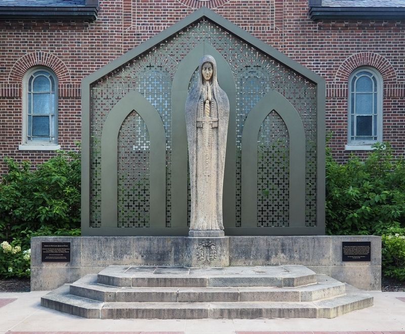
3. Shrine of Our Lady, Queen of Peace at the University of St. Thomas
Credits. This page was last revised on October 5, 2026. It was originally submitted on October 5, 2026, by McGhiever of Minneapolis, Minnesota. This page has been viewed 2 times since then. Photos: 1, 2, 3. submitted on October 5, 2026, by McGhiever of Minneapolis, Minnesota.
