Shrewsbury in Shropshire, England, United Kingdom — Northwestern Europe (the British Isles)
The English Bridge
Photographed by Ray Gurganus, May 17, 2026
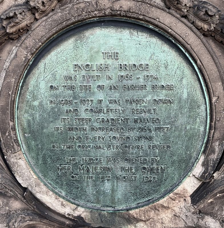
1. The English Bridge Marker
In 1925 - 1927 it was taken down and completely rebuilt, its steep gradient halved, its width increased by 26 feet, and every sound stone in the original structure reused.
The bridge was opened by Her Majesty the Queen on the 13th August 1927.
Topics. This historical marker is listed in this topic list: Bridges & Viaducts. A significant historical year for this entry is 1768.
Location. 52° 42.397′ N, 2° 44.855′ W. Marker is in Shrewsbury, England, in Shropshire. It is on English Bridge, on the right when traveling west. Touch for map. Marker is in this post office area: Shrewsbury, England SY1 1XH, United Kingdom. Touch for directions.

Regionally, this marker is in the Midlands. It is also on the British Marches. Globally, it is on the Atlantic Ocean, in the North Atlantic Region, in Europe, in Atlantic Europe, on one of the British Isles, in the Western World, and in the Anglosphere. Historically, it finds itself in what was once the Roman Empire.
Other nearby markers. At least 8 other markers are within walking distance
this page online
Photographed by Ray Gurganus, May 17, 2026
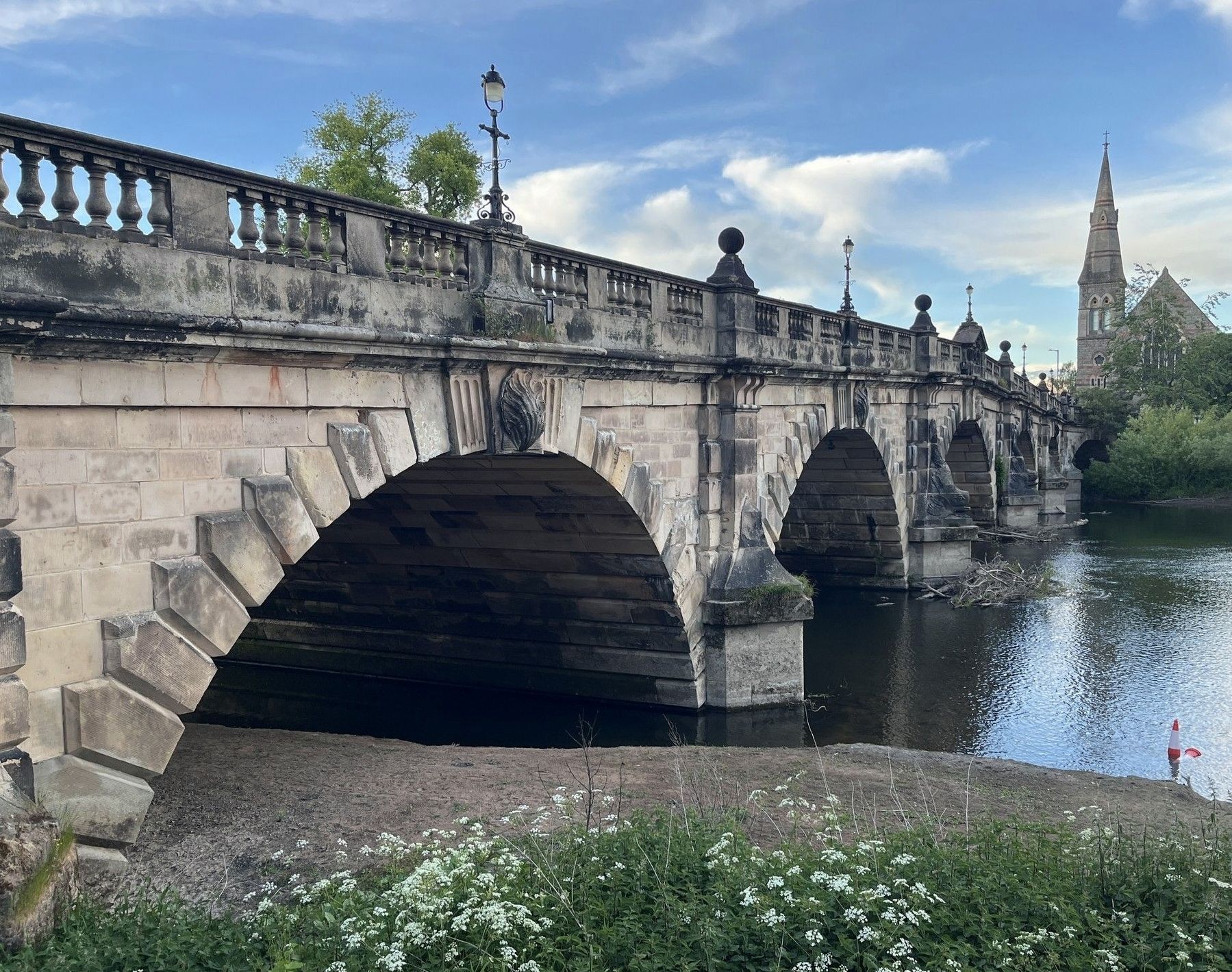
2. The English Bridge
Credits. This page was last revised on October 11, 2026. It was originally submitted on October 6, 2026, by Ray Gurganus of Washington, District of Columbia. This page has been viewed 13 times since then. Photos: 1, 2. submitted on October 6, 2026, by Ray Gurganus of Washington, District of Columbia. • Andrew Ruppenstein was the editor who published this page.
