
Warwick in Warwickshire, England, United Kingdom — Northwestern Europe (the British Isles)
The Market Hall
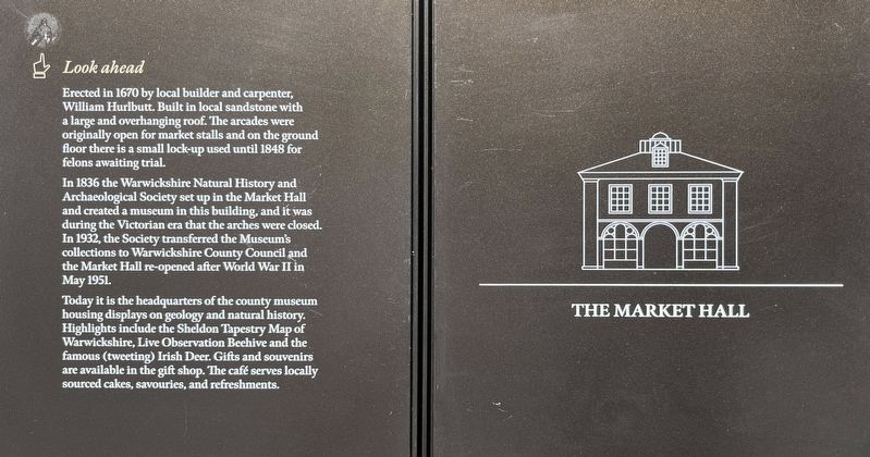
Photographed by Ray Gurganus, May 22, 2026
1. The Market Hall Marker
In 1836 the Warwickshire Natural History and Archaeological Society set up in the Market Hall and created a museum in this building, and it was during the Victorian era that the arches were closed. In 1932, the Society transferred the Museum's collections to Warwickshire County Council and the Market Hall re-opened after World War II in May 1951.
Today it is the headquarters of the county museum housing displays on geology and natural history. Highlights include the Sheldon Tapestry Map of Warwickshire, Live Observation Beehive and the famous (tweeting) Irish Deer. Gifts and souvenirs are available in the gift shop. The café serves locally sourced cakes, savouries, and refreshments.
Topics. This historical marker is listed in this topic list: Industry & Commerce. A significant historical year for this entry is 1670.
Location. 52° 16.899′ N, 1° 35.418′ W.
this page online

Regionally, this marker is in the Midlands. Globally, it is on the Atlantic Ocean, in the North Atlantic Region, in Europe, in Atlantic Europe, on one of the British Isles, in the Western World, and in the Anglosphere. Historically, it finds itself in what was once the Roman Empire.
Other nearby markers. At least 8 other markers are within 5 kilometers of this marker, measured as the crow flies: The Court House (about 210 meters away, measured in a direct line); Warwick 1100 Years (about 210 meters away); Oken's House (approx. 0.2 kilometers away); Eastgate (approx. 0.4 kilometers away); Covid Memorial Sculpture (approx. 0.7 kilometers away); Welcome to Warwick (approx. 0.8 kilometers away); The Coming of the Railway (approx. 3.7 kilometers away); Welcome to Jephson Gardens & Mill Gardens (approx. 3.9 kilometers away). Touch for a list and map of all markers in Warwick.
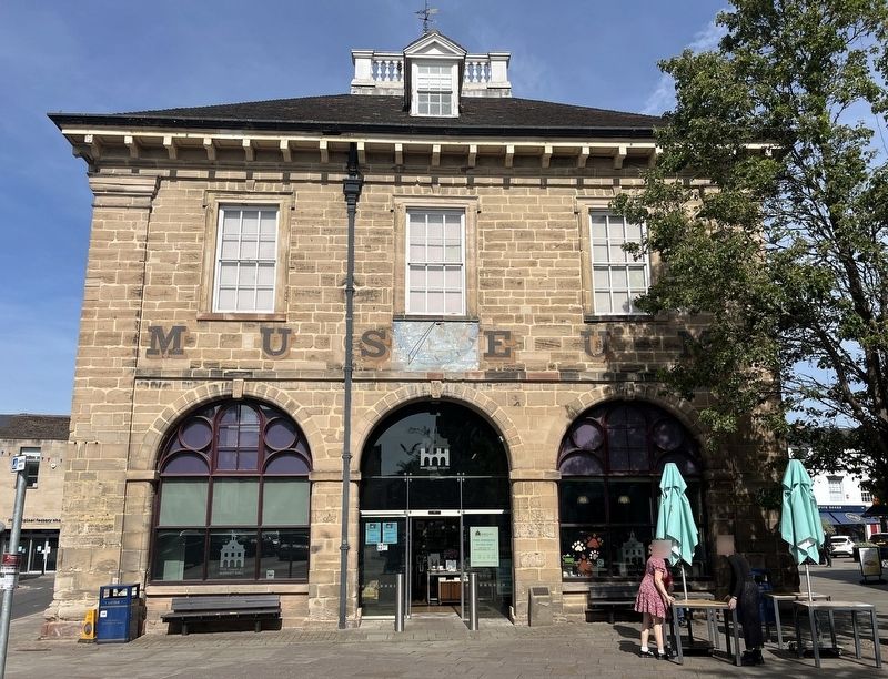
Photographed by Ray Gurganus, May 22, 2026
2. The Market Hall
Credits. This page was last revised on October 11, 2026. It was originally submitted on October 6, 2026, by Ray Gurganus of Washington, District of Columbia. This page has been viewed 8 times since then. Photos: 1, 2. submitted on October 6, 2026, by Ray Gurganus of Washington, District of Columbia. • Andrew Ruppenstein was the editor who published this page.
