Altstadt in Dinkelsbühl in Ansbach, Bavaria, Germany — Central Europe
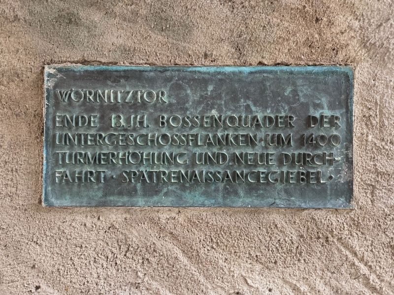
Wörnitztor
⎯⎯⎯
Wörnitz Gate
Photographed by James Hulse, September 14, 2026
1. Wörnitztor / Wörnitz Gate Marker

Ende 13. Jh. Bossenquader der Untergeschossflanken. Um 1400 Turmerhöhung und neue Durchfahrt. Spätrenaissancegiebel.
Wörnitz Gate
Late 13th century: rusticated stone blocks on the sides of the lower story. Around 1400: the tower was raised and a new passageway added. Late Renaissance gable.
Topics. This historical marker is listed in this topic list: Forts and Castles. A significant historical year for this entry is 1400.
Location. 49° 4.173′ N, 10° 19.292′ E. Marker is in Dinkelsbühl, Bayern (Bavaria), in Ansbach. It is in Altstadt. It is at the intersection of Altrathausplatz and Spitalgasse, on the left when traveling west on Altrathausplatz. Touch for map. Marker is at or near this postal address: Altrathauspl 8, Dinkelsbühl BY 91550, Germany. Touch for directions.

Regionally, this marker is in German Franconia and on the Romantic Road. Globally, it is in Europe, the European Union, Atlantic Europe, Central Europe, the Schengen Area, Western Europe, and the Western World. Historically, it finds itself in what was once the Holy Roman Empire and also the former
this page online
Other nearby markers. At least 8 other markers are within walking distance of this marker: Die Kriegsparteien formieren sich / The Warring Parties Take Shape (within shouting distance of this marker); Schlacht am Weißen Berg bei Prag / Battle of White Mountain near Prague (within shouting distance of this marker); Heinz J. Ansbacher (within shouting distance of this marker); Prager Fenstersturz / The Defenestration of Prague (about 120 meters away, measured in a direct line); Stauferstele (about 120 meters away); Ausgezehrt und ausgepresst / Exhausted and Drained (about 150 meters away); Johann Christoph Friedrich von Schmid (about 150 meters away); Der Kaiser gewinnt an Boden / The Emperor Gains Ground (about 150 meters away). Touch for a list and map of all markers in Dinkelsbühl.
Photographed by James Hulse
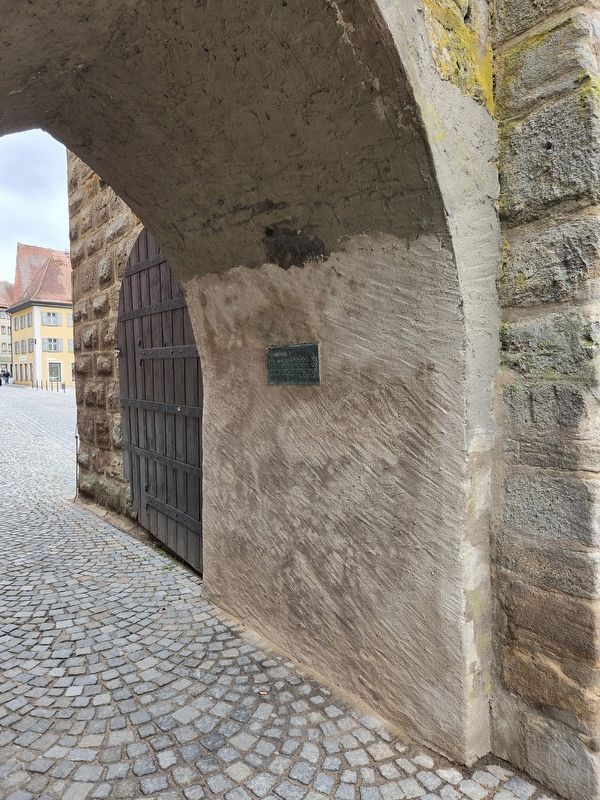
2. Wörnitztor / Wörnitz Gate Marker
Photographed by James Hulse, September 14, 2026
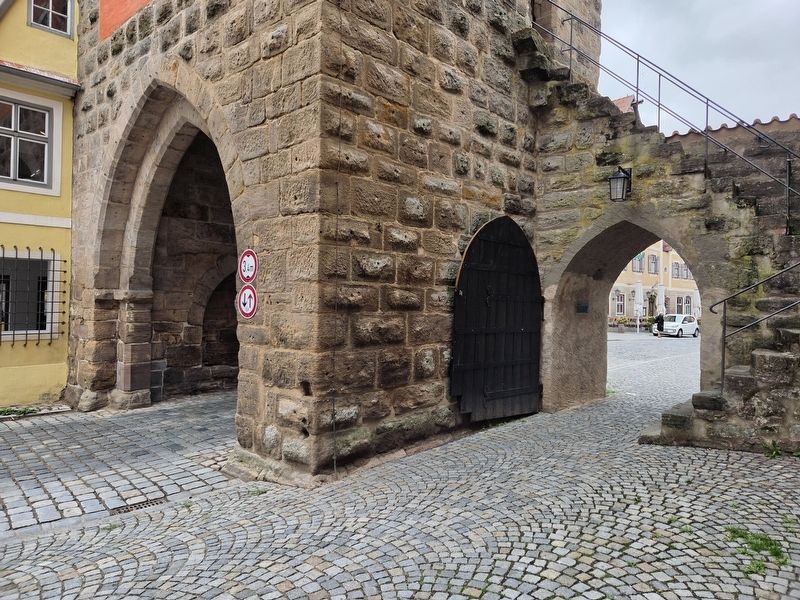
3. Wörnitztor / Wörnitz Gate Marker
Photographed by James Hulse
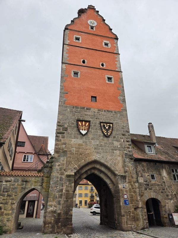
4. Wörnitztor / Wörnitz Gate Marker
The view of the gate and tower from outside the city wall.
Credits. This page was last revised on October 8, 2026. It was originally submitted on October 7, 2026, by James Hulse of Medina, Texas. This page has been viewed 3 times since then. Photos: 1, 2, 3, 4. submitted on October 8, 2026, by James Hulse of Medina, Texas.
