Weymouth in Norfolk County, Massachusetts — The American Northeast (New England)
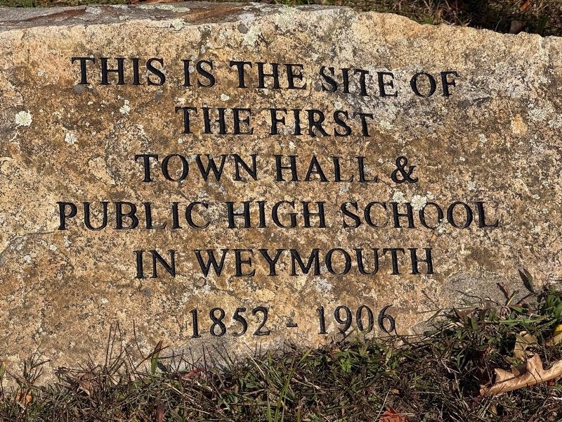
First Town Hall & Public High School
In Weymouth
Photographed by G.W.Bartlett, October 8, 2026
1. First Town Hall & Public High School Marker
Topics. This historical marker is listed in these topic lists: Education • Government & Politics. A significant historical year for this entry is 1852.
Location. 42° 12.059′ N, 70° 56.765′ W. Marker is in Weymouth, Massachusetts, in Norfolk County. It is at the intersection of Washington Street and Middle Street, on the right when traveling south on Washington Street. Touch for map. Marker is in this post office area: Weymouth MA 02188, United States of America. Touch for directions.

Regionally, this marker is in Greater Boston. It is also in the American Northeast, in New England, and on the Eastern Seaboard. Globally, it is in the North Atlantic Region, North America, the Western Hemisphere, the Western World, and the Anglosphere. Historically, it finds itself in what was once one of the original Thirteen Colonies.
Other nearby markers. At least 8 other markers are within 2 miles of this marker, measured as the crow flies: The Last Indian Attack (within shouting distance of this marker); Revolutionary War Patriots
this page online
Photographed by G.W.Bartlett, October 8, 2026
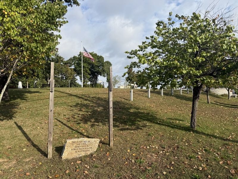
2. First Town Hall & Public High School Marker
Photographed by G.W.Bartlett, October 8, 2026
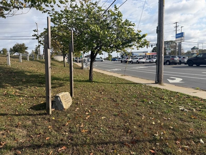
3. First Town Hall & Public High School Marker
Photographed by G.W.Bartlett, October 8, 2026
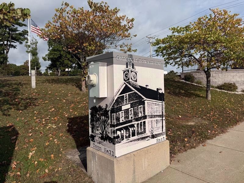
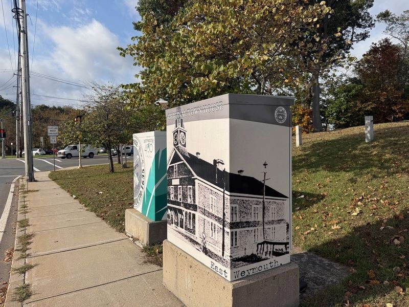
4. Town Hall Illustration
An illustration of the first Town Hall / Original Town House is painted on this nearby utility box.
Photographed by G.W.Bartlett, October 8, 2026
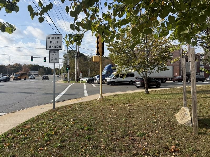
5. Original Town House Illustration and Marker
The marker is visible in the background before the intersection.
Photographed by G.W.Bartlett, October 8, 2026
6. First Town Hall & Public High School Marker
Credits. This page was last revised on October 13, 2026. It was originally submitted on October 8, 2026, by G.W.Bartlett of Hingham, Massachusetts. This page has been viewed 5 times since then. Photos: 1, 2, 3, 4, 5, 6. submitted on October 8, 2026, by G.W.Bartlett of Hingham, Massachusetts. • Andrew Ruppenstein was the editor who published this page.
