Dinkelsbühl in Ansbach, Bavaria, Germany — Central Europe
Kapuzinerkloster
⎯⎯⎯
Capuchin Monastery
Photographed by James Hulse, September 14, 2026
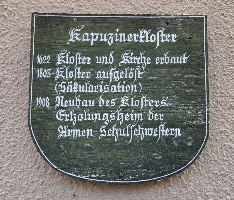
1. Kapuzinerkloster / Capuchin Monastery Marker

1622: Kloster und Kirche erbaut.
1803: Kloster aufgelöst (Säkularisation).
1908: Neubau des Klosters; Erholungsheim der Armen Schulschwestern.
Capuchin Monastery
1622: Monastery and church built.
1803: Monastery dissolved during secularization.
1908: Monastery rebuilt as a convalescent home for the Poor School Sisters.
Topics. This historical marker is listed in this topic list: Religion & Religious Structures. A significant historical year for this entry is 1622.
Location. 49° 4.209′ N, 10° 18.888′ E. Marker is in Dinkelsbühl, Bayern (Bavaria), in Ansbach. It is on Kapuzinerweg just north of Koppengasse, on the right when traveling north. Touch for map. Marker is at or near this postal address: Kapuzinerweg 2, Dinkelsbühl BY 91550, Germany. Touch for directions.

Regionally, this marker is in German Franconia and on the Romantic Road. Globally, it is in Europe, the European Union, Atlantic Europe, Central Europe, the Schengen Area, Western Europe, and the Western World. Historically, it finds itself in what was once the Holy Roman Empire and also the former
this page online
Other nearby markers. At least 8 other markers are within walking distance of this marker: Zerstörung Magdeburgs und Schlacht bei Breitenfeld / Magdeburg and the Battle of Breitenfeld (within shouting distance of this marker); Krieg in ganz Deutschland – Schlacht bei Lützen / War Throughout Germany – Battle of Lützen (within shouting distance of this marker); Der Kriegseintritt Schwedens / Sweden Enters the War (about 90 meters away, measured in a direct line); Kornscheune / Grain Barn (about 90 meters away); Ein Ende ist nicht in Sicht / No End Is in Sight (about 120 meters away); Dreikönigskapelle / Chapel of the Three Kings (about 150 meters away); Stadtarchiv / City Archives (about 150 meters away); Restitutionsedikt und Lübecker Friede / The Edict of Restitution and the Peace of Lübeck (about 150 meters away). Touch for a list and map of all markers in Dinkelsbühl.
Photographed by James Hulse
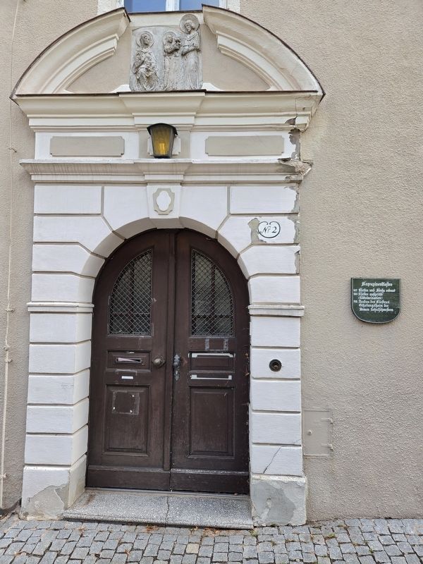
2. Kapuzinerkloster / Capuchin Monastery Marker
Photographed by James Hulse, September 14, 2026
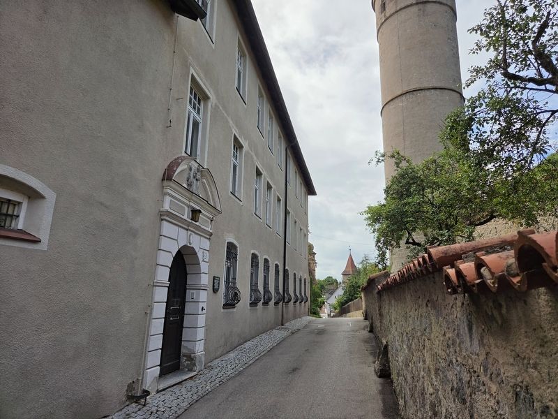
3. Kapuzinerkloster / Capuchin Monastery Marker
Credits. This page was last revised on October 9, 2026. It was originally submitted on October 9, 2026, by James Hulse of Medina, Texas. This page has been viewed 3 times since then. Photos: 1, 2, 3. submitted on October 9, 2026, by James Hulse of Medina, Texas.
