Altstadt in Dinkelsbühl in Ansbach, Bavaria, Germany — Central Europe
Kornscheune
⎯⎯⎯
Grain Barn
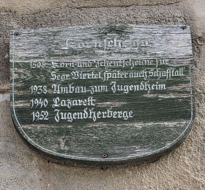
Photographed by James Hulse, September 14, 2026
1. Kornspeicher und Jugendherberge / Granary and Youth Hostel Marker

1508 Korn- und Zehntscheune für
Segr. Viertel, später noch Schafstall
1938 Umbau zum Jugendheim
1940 Lazarett
1952 Jugendherberge
Grain Barn
1508 Grain and tithe barn for the
Segringen Quarter, later also a sheep barn.
1938 Converted into a youth centre
1940 Military hospital
1952 Youth hostel
Topics. This historical marker is listed in this topic list: Notable Buildings. A significant historical year for this entry is 1508.
Location. 49° 4.159′ N, 10° 18.865′ E. Marker is in Dinkelsbühl, Bayern (Bavaria), in Ansbach. It is in Altstadt. It is at the intersection of Koppengasse and Kapuzinerweg, on the left when traveling east on Koppengasse. Touch for map. Marker is at or near this postal address: Koppengasse 10, Dinkelsbühl BY 91550, Germany. Touch for directions.

Regionally, this marker is in German Franconia and on the Romantic Road. Globally, it is in Europe, the European Union, Atlantic Europe, Central Europe, the Schengen Area, Western Europe, and the Western World. Historically, it finds itself in what was once the Holy Roman Empire and also the former
this page online
Other nearby markers. At least 8 other markers are within walking distance of this marker: Ein Ende ist nicht in Sicht / No End Is in Sight (within shouting distance of this marker); Dreikönigskapelle / Chapel of the Three Kings (within shouting distance of this marker); Krieg in ganz Deutschland – Schlacht bei Lützen / War Throughout Germany – Battle of Lützen (within shouting distance of this marker); Segringer Tor / Segringen Gate (within shouting distance of this marker); Die Gerichtstafeln in den Dinkelsbühler Stadttoren (about 90 meters away, measured in a direct line); Kapuzinerkloster / Capuchin Monastery (about 90 meters away); Wallensteins Ermordung – Schlacht bei Nördlingen / Wallenstein’s Assassination – Battle of Nördlinge (about 90 meters away); Zerstörung Magdeburgs und Schlacht bei Breitenfeld / Magdeburg and the Battle of Breitenfeld (about 120 meters away). Touch for a list and map of all markers in Dinkelsbühl.
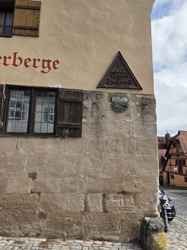
Photographed by James Hulse
2. Kornspeicher / Granary Marker
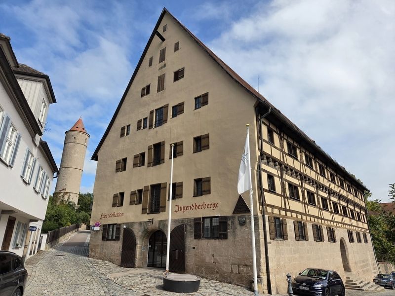
Photographed by James Hulse, September 14, 2026
3. Kornspeicher / Granary Marker
Credits. This page was last revised on October 9, 2026. It was originally submitted on October 9, 2026, by James Hulse of Medina, Texas. This page has been viewed 7 times since then. Photos: 1, 2, 3. submitted on October 9, 2026, by James Hulse of Medina, Texas.
