Dinkelsbühl in Ansbach, Bavaria, Germany — Central Europe
Nördlinger Tor
⎯⎯⎯
Nördlingen Gate
Photographed by James Hulse, September 14, 2026
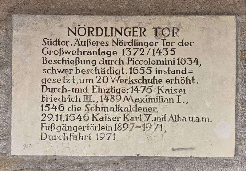
1. Nördlinger Tor / Nördlingen Gate Marker

Südtor. Äußeres Nördlinger Tor der
Großwehranlage 1372/1435
Beschießung durch Piccolomini 1634,
schwer beschädigt. 1655 instand=
gesetzt, um 20 Werkschuhe erhöht.
Durch-und Einzüge: 1475 Kaiser
Friedrich III., 1489 Maximilian I.,
1546 die Schmalkaldener,
29.11.1546 Kaiser Karl V. mit Alba u.a.m.
Fußgängertörlein 1897–1971,
Durchfahrt 1971
Nördlingen Gate
South gate. Outer Nördlingen Gate of the large defensive complex of 1372/1435. Severely damaged by Piccolomini’s bombardment in 1634. Repaired in 1655 and raised by 20 construction feet. Passages and entries: Emperor Frederick III in 1475, Maximilian I in 1489, the Schmalkaldic forces in 1546, and Emperor Charles V with Alba and others on 29 November 1546. Small pedestrian gate, 1897–1971; vehicle passage, 1971.
Topics. This historical marker is listed in this topic list: Forts and Castles. A significant historical date for this entry is November 29, 1546.
Location. 49° 3.939′ N, 10° 19.456′ E. Marker is in Dinkelsbühl, Bayern (Bavaria), in Ansbach. It is at the intersection of Nördlinger Straße and Mönchsrother Str., on the
this page online

Regionally, this marker is in German Franconia and on the Romantic Road. Globally, it is in Europe, the European Union, Atlantic Europe, Central Europe, the Schengen Area, Western Europe, and the Western World. Historically, it finds itself in what was once the Holy Roman Empire and also the former West Germany.
Other nearby markers. At least 8 other markers are within walking distance of this marker: Stadtmühle / Town Mill (within shouting distance of this marker); Die Kämpfe flammen wieder auf / The Fighting Flares Up Again (within shouting distance of this marker); Sicherung der habsburgischen Kernlande / Securing the Habsburg Heartlands (within shouting distance of this marker); a different marker also named Stadtmühle / Town Mill (within shouting distance of this marker); Die Stadtmühle Dinkelsbühl / The Dinkelsbühl Town Mill (within shouting distance of this marker); Jankau, Herbsthausen, Alerheim (about 90 meters away, measured in a direct
Photographed by James Hulse, September 14, 2026
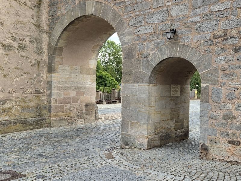
2. Nördlinger Tor / Nördlingen Gate Marker
Photographed by James Hulse
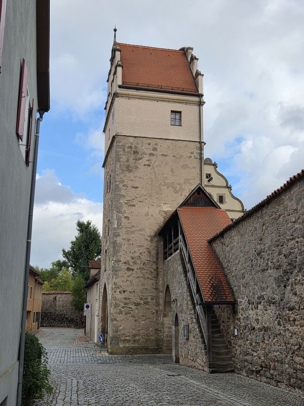
3. Nördlinger Tor / Nördlingen Gate
Credits. This page was last revised on October 9, 2026. It was originally submitted on October 9, 2026, by James Hulse of Medina, Texas. This page has been viewed 3 times since then. Photos: 1, 2, 3. submitted on October 9, 2026, by James Hulse of Medina, Texas.
