Harmar in Marietta in Washington County, Ohio — The American Midwest (Great Lakes)
Harmar Congregational Church
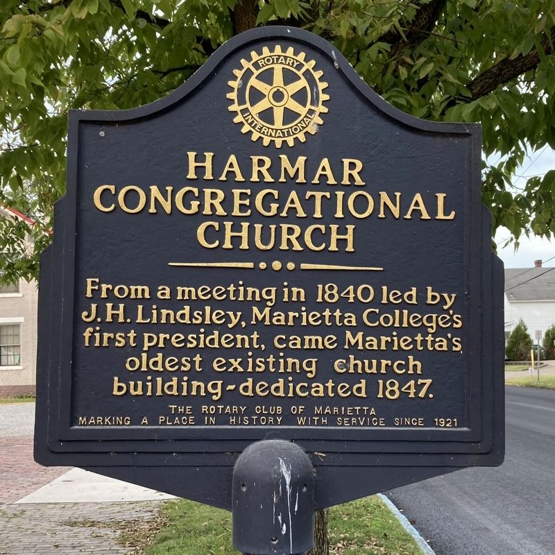
Photographed by J. J. Prats
1. Harmar Congregational Church Marker
Erected by The Rotary Club of Marietta.
Topics. This historical marker is listed in this topic list: Religion & Religious Structures. A significant historical year for this entry is 1840.
Location. 39° 24.697′ N, 81° 27.671′ W. Marker is in Marietta, Ohio, in Washington County. It is in Harmar. It is at the intersection of Franklin Street and Maple Street, on the right when traveling south on Franklin Street. Touch for map. Marker is at or near this postal address: 301 Franklin St, Marietta OH 45750, United States of America. Touch for directions.

Regionally, this marker is in the American Midwest, in the Ohio River Valley, in Appalachia, and specifically in Northern Appalachia. Globally, it is in North America, the Western Hemisphere, the Western World, and the Anglosphere. Historically, it finds itself in what was once the Viceroyalty of New France, the Haudenosaunee (Iroquois) Confederacy, the territory of the Mississippian Culture, and the Northwest Territory.
this page online
Other nearby markers. At least 8 other markers are within walking distance of this marker: Harmar Post Office (about 600 feet away, measured in a direct line); Harmar 1788 (about 700 feet away); David Putnam House (about 800 feet away); Putnam House (about 800 feet away); Offenberger & White, Inc. (about 800 feet away); Harmar Lodge No. 390 (about 800 feet away); Rowing History (approx. 0.2 miles away); B&O Harmar Bridge (approx. 0.2 miles away). Touch for a list and map of all markers in Marietta.
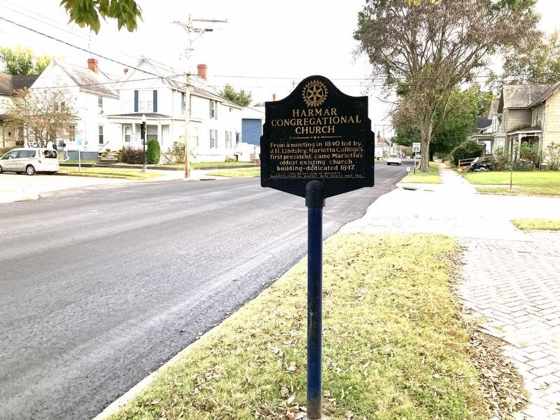
Photographed by J. J. Prats, October 9, 2026
2. Harmar Congregational Church Marker
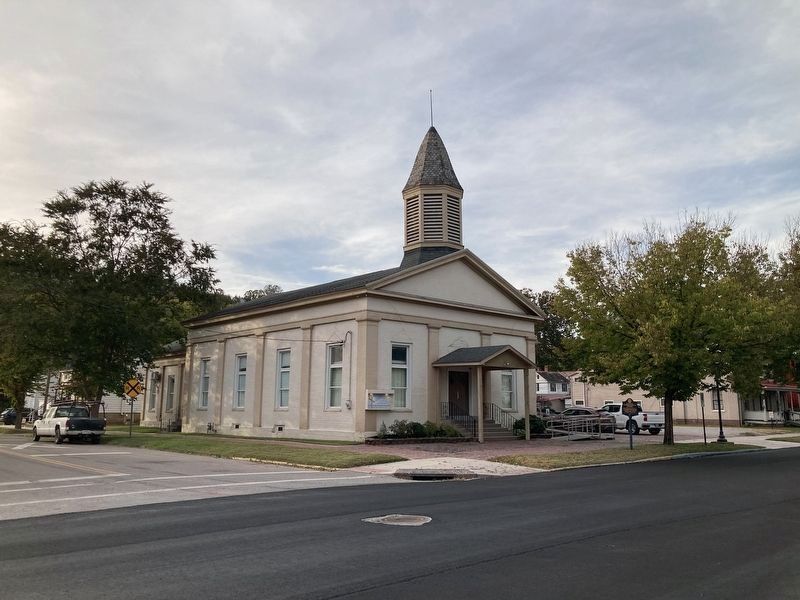
Photographed by J. J. Prats, October 9, 2026
3. Harmar Congregational Church, Marietta Ohio
Marker visible to the right of the church under tree.
Credits. This page was last revised on October 9, 2026. It was originally submitted on October 9, 2026, by J. J. Prats of Powell, Ohio. This page has been viewed 4 times since then. Photos: 1, 2, 3. submitted on October 9, 2026, by J. J. Prats of Powell, Ohio.
