Golden in Columbia-Shuswap, British Columbia — Canada’s West Coast (North America)
A Brief History of Covered Bridges
Photographed by Cosmos Mariner, July 3, 2022
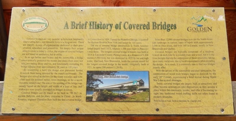
1. A Brief History of Covered Bridges Marker
Covered bridges are very popular as historical landmarks, tourist attractions, and romantic links to a by-gone era. There are literally dozens of organizations dedicated to their preservation, education, and promotion. Yet despite their unique attractiveness to today's visitor, the origins of covered bridges are not based on aesthetics, but in utility.
In an age before steel beams and the automobile, a bridge cover critically protected the trusses and decks from snow and rain, preventing decay and rot, and functionally extending the bridge lifespan from approximately 20 years to 100 years.
By resembling a barn, the design also prevented herded livestock from being spooked by the waters underneath. The bridges also served as shelters for the weary traveller, and were often used for political rallies, town meetings, or for a secret romantic rendezvous! The size of the opening of the bridge was usually based on the height and width of a load of hay, and walkways were usually provided on bridges in towns.
Covered bridges can be traced as far back as 780 B.C. in ancient Babylon, and for many centuries in China. In North America,
this page online
The era of covered bridge construction in North America lasted largely until 1875, wherein 1,500 were built in Pennsylvania alone. The longest covered bridge in history was built in 1814 in Lancaster County, Pennsylvania, at a distance of 1,816 metres (5,960 feet), but was destroyed in 1832 by ice and high water. Hartland, New Brunswick, holds the current record for the longest covered bridge in the world. Originally built in 1921, its spans 390 metres (1,281 ft).
More than 12,000 covered bridges now dot the North American landscape in various states of repair with approximately 3,500 in Ohio alone, and over 160 in Canada, mostly in New Brunswick and Quebec.
Covered bridges are typically composed of a roadway braced on each side by a wooden truss and a roof, but it is the truss designs that are the centerpiece of these structures, taking upon many variations, due to local requirements often dictating the design. As a result, it is extremely rare to find two bridges
Photographed by Cosmos Mariner, July 3, 2022
2. A Brief History of Covered Bridges Marker
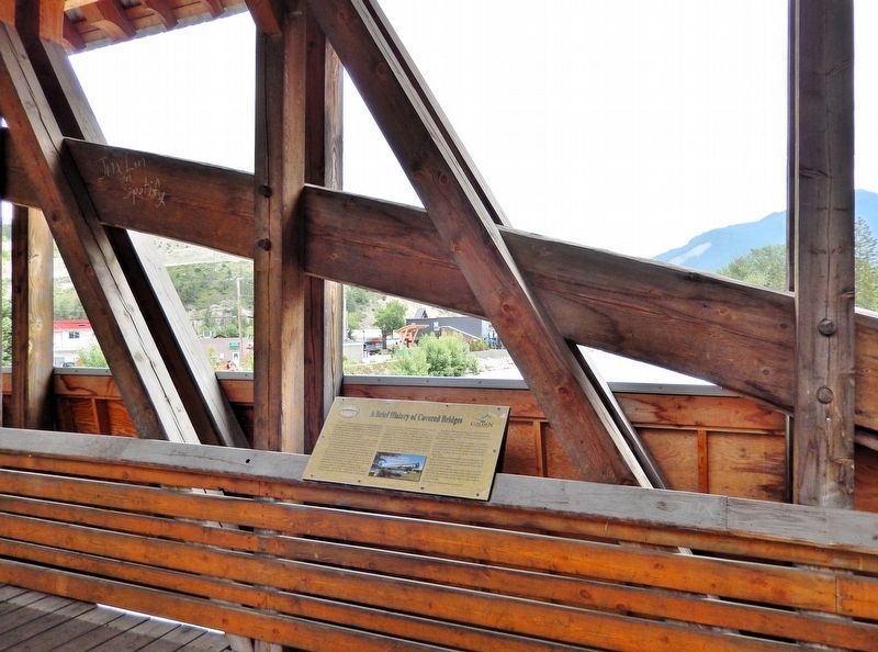
Looking northeast across the Kicking Horse River. The marker is mounted atop the inside railing, near the southeast corner of the Kicking Horse Pedestrian Bridge.
With the advent of the automobile and steel fabrication, the construction of wood truss bridges began to diminish by the early 20th Century, experiencing a brief revival during World War I due to steel shortages.
Today, covered bridges are largely built as attractions, and often become destinations unto themselves, as they assume a place within the community mosaic, and offer a fascinating insight into traditional wood crafting skills not often found in modern structures.
[photo caption] Hartland, New Brunswick Bridge [Photo courtesy of Hoyle, Tanner & Associates, Inc. © 2005]
Topics. This historical marker is listed in these topic lists: Architecture • Bridges & Viaducts.
Location. 51° 17.974′ N, 116° 58.104′ W. Marker is in Golden, British Columbia, in Columbia-Shuswap. It can be reached from 8 Avenue South north of 7 Street South. The marker is near the southeast corner of the Kicking Horse Pedestrian Bridge. Touch for map. Marker is in this post office area: Golden BC V0A 1H0, Canada. Touch for directions.

Regionally, this marker is in the BC Interior
Photographed by Cosmos Mariner, July 3, 2022
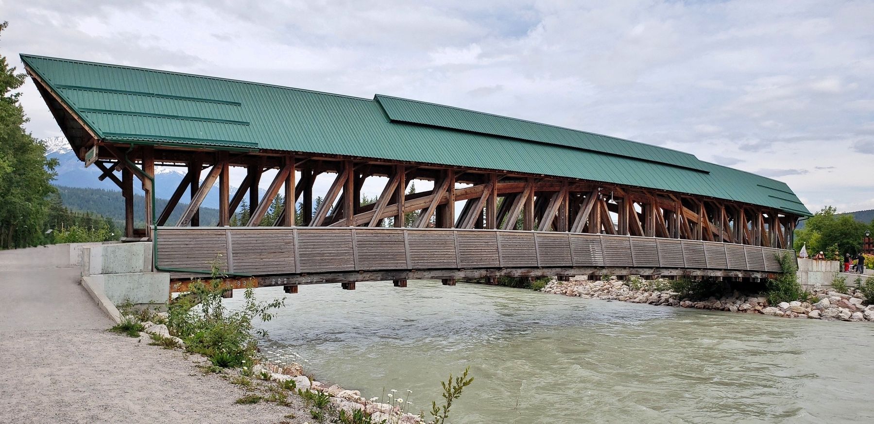
3. Kicking Horse Pedestrian Bridge (southeast elevation)
Other nearby markers. At least 6 other markers are within 11 kilometers of this marker, measured as the crow flies: Rivers & Railways (approx. 0.4 kilometers away); History of Mountain Tourism in Golden (approx. 0.4 kilometers away); Skiing: resort, backcountry & heli-skiing (approx. half a kilometer away); Riverboat Tales (approx. one kilometer away); Golden Sikhs (approx. one kilometer away); Kicking Horse Canyon (approx. 10 kilometers away).
Related markers. Click here for a list of markers that are related to this marker.
Credits. This page was last revised on October 11, 2026. It was originally submitted on October 10, 2026, by Cosmos Mariner of Cape Canaveral, Florida. This page has been viewed 9 times since then. Photos: 1, 2, 3. submitted on October 11, 2026, by Cosmos Mariner of Cape Canaveral, Florida.
