Ben Franklin in Delta County, Texas — The American South (West South Central)
Methodist Church
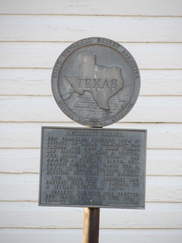
Photographed by Duane and Tracy Marsteller, May 2, 2026
1. Methodist Church Marker
Log walls, roof shingles and rafters were cut in sawmill of a settler, Greenville Smith.
Present building was erected 800 yards from old site, 1898.
Erected 1966 by Texas State Historical Survey Committee. (Marker Number 6941.)
Topics. This historical marker is listed in this topic list: Religion & Religious Structures. A significant historical date for this entry is December 5, 1854.
Location. 33° 28.288′ N, 95° 46.06′ W. Marker is in Ben Franklin, Texas, in Delta County. It is at the intersection of Farm to Market 128 and Farm to Market 38, on the right when traveling south on Farm to Market 128. Touch for map. Marker is at or near this postal address: 5416 FM128, Ben Franklin TX 75415, United States of America. Touch for directions.

Regionally, this marker is in the American South and in the Piney Woods. Globally, it is in North America,
this page online
Other nearby markers. At least 8 other markers are within 9 miles of this marker, measured as the crow flies: Giles Academy (approx. 1.8 miles away); Dial United Presbyterian Church (approx. 6.2 miles away); Site of Hockaday Homestead (approx. 6.3 miles away); Site of Fort Lyday (approx. 6.3 miles away); Camp Shed Cemetery (approx. 7.6 miles away); Cooper Rail Depot (approx. 8 miles away); Nathaniel L. Corbet (approx. 8.1 miles away); The Texas Livery Stable (approx. 8.1 miles away).
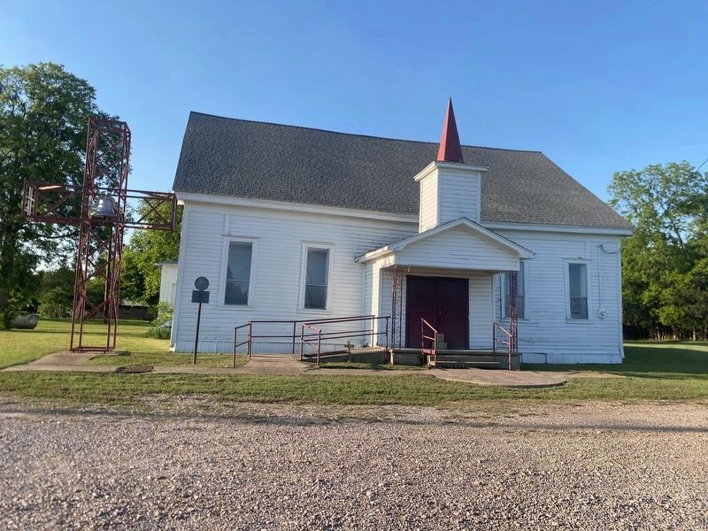
Photographed by Duane and Tracy Marsteller, May 2, 2026
2. Methodist Church Marker
Credits. This page was last revised on October 11, 2026. It was originally submitted on October 11, 2026, by Duane and Tracy Marsteller of Murfreesboro, Tennessee. This page has been viewed 5 times since then. Photos: 1, 2. submitted on October 11, 2026, by Duane and Tracy Marsteller of Murfreesboro, Tennessee.
