San Domingo in Wicomico County, Maryland — The American Northeast (Mid-Atlantic)
San Domingo Maryland
🌅 Welcome 🌅
| — | Restoring & Cherishing Our History | — |
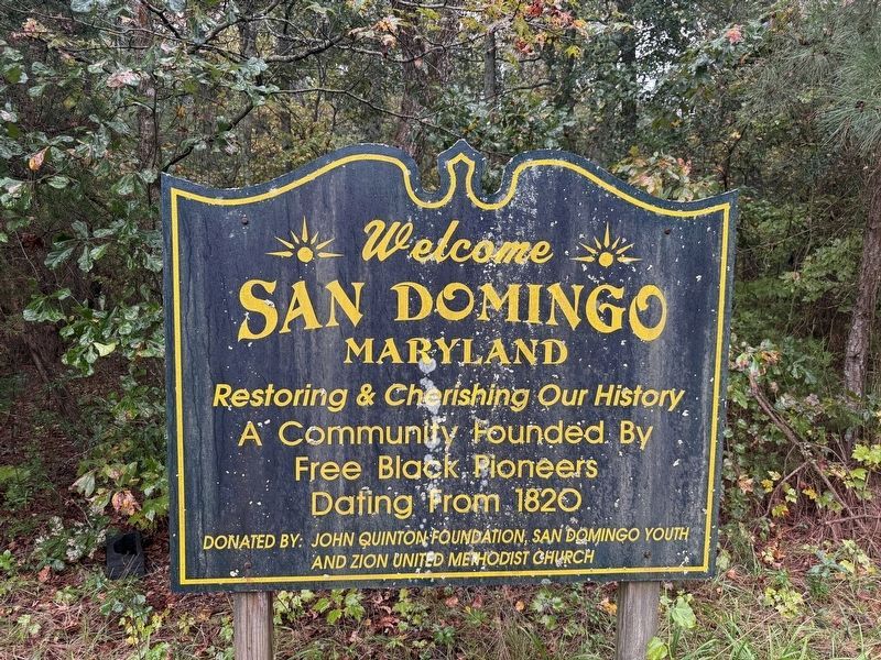
A community founded by free Black pioneers dating from 1820
Erected by John Quinton Foundation, San Domingo Youth and Zion United Methodist Church.
Topics. This historical marker is listed in these topic lists: African Americans • Settlements & Settlers. A significant historical year for this entry is 1820.
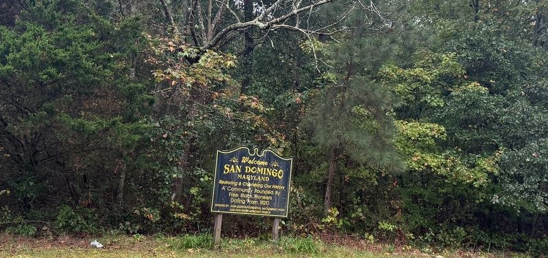
Location. 38° 30.464′ N, 75° 43.154′ W. Marker is in San Domingo, Maryland, in Wicomico County. It is at the intersection of San Domingo Road (County Road 436) and Quinton Road (County Road 436) when traveling south on San Domingo Road. Touch for map. Marker is at or near this postal address: 11410 San Domingo Rd, Mardela Springs MD 21837, United States of America. Touch for directions.

Regionally, this marker is on the Eastern Shore. It is also in the American Mid-Atlantic, on the Delmarva Peninsula, in the Tidewater, and on the Eastern Seaboard. Globally, it is in the North Atlantic Region, North America, the Western Hemisphere, the Western World, and the Anglosphere. Historically, it finds itself in what was once one of the original Thirteen Colonies and also the Antebellum South.
Other nearby markers. At
this page online
Another marker is no longer nearby. San Domingo School Community & Cultural Center (was approx. ¼ mile away but has been permanently removed).
Credits. This page was last revised on October 11, 2026. It was originally submitted on October 11, 2026, by Devry Becker Jones of Washington, District of Columbia. This page has been viewed 3 times since then. Photos: 1, 2. submitted on October 11, 2026, by Devry Becker Jones of Washington, District of Columbia.
