Altstadt in Koblenz, Rhineland-Palatinate, Germany — Central Europe
Jean-Pierre Brasch
Photographed by James Hulse, October 4, 2026
1. Jean-Pierre Brasch Marker

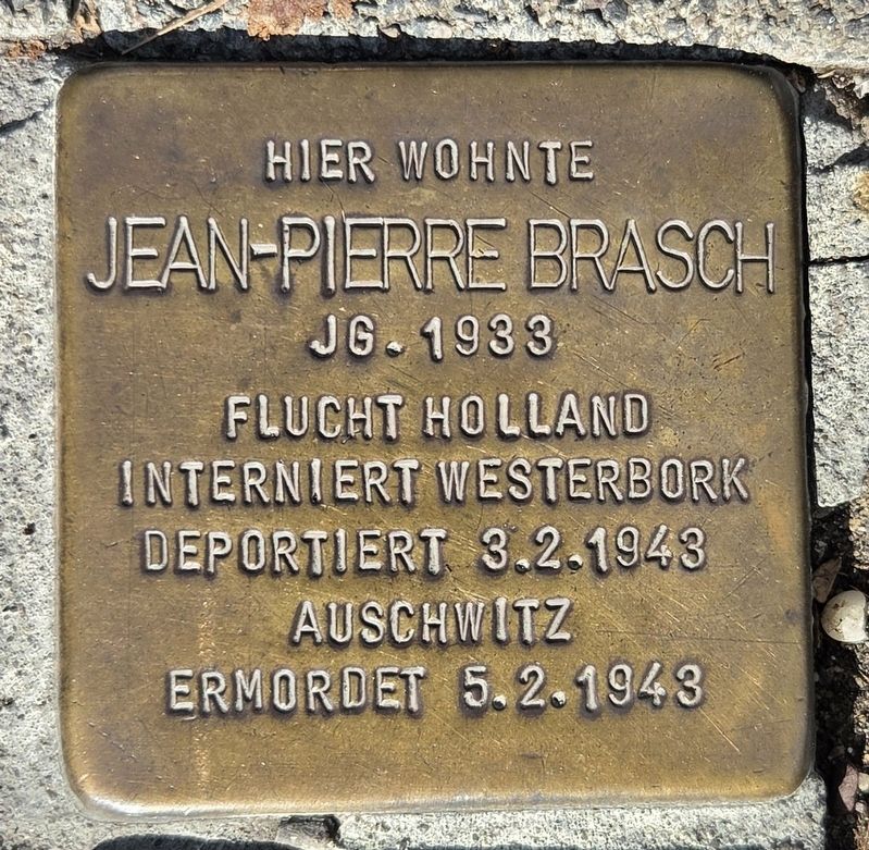
Jean-Pierre Brasch
Jg. 1933
Flucht Holland
Interniert Westerbork
Deportiert 3.2.1943
Auschwitz
Ermordet 5.2.1943
Jean-Pierre Brasch lived here. He was born in 1933 and fled to Holland. He was interned in Westerbork, deported to Auschwitz on February 3, 1943, and murdered on February 5, 1943.
Topics and series. This historical marker is listed in this topic list: War, World II. In addition, it is included in the Stolpersteine series list. A significant historical date for this entry is February 3, 1943.
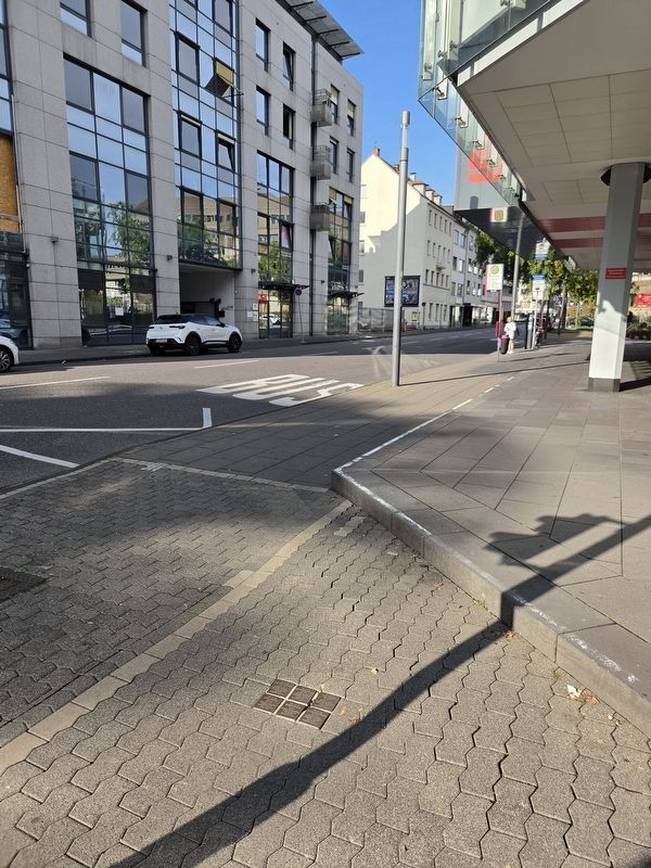
Location. 50° 21.266′ N, 7° 35.49′ E. Marker is in Koblenz, Rheinland-Pfalz (Rhineland-Palatinate). It is in Altstadt. It is at the intersection of Rizzastraße and Bahnhofstraße, on the right when traveling west on Rizzastraße. Touch for map. Marker is at or near this postal address: Rizzastraße 40, Koblenz RP 56068, Germany. Touch for directions.

Regionally, this marker is in the German Rhineland, in the Upper Middle Rhine Valley, and specifically in the Moselle Valley. Globally, it is in Europe, the European Union, Atlantic Europe, Central Europe, the Schengen Area, Western Europe, and the Western World. Historically, it finds itself in what was once the Roman Empire, the Holy Roman Empire, and the former West Germany.
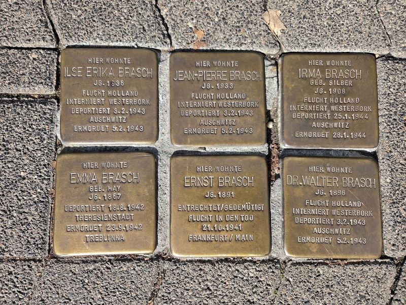
Other nearby markers. At least 8 other markers are within walking distance of this marker: Dr. Walter Brasch (here, next to this marker); Irma Brasch (here, next to this marker); Emma Brasch (here, next to this marker); Ilse Erika Brasch (here, next to this marker); Ernst Brasch (here, next to this marker); Pestkreuz / Plague Cross (about
this page online
Also see . . . Stolperstein. Wikipedia
A Stolperstein (in English "stumbling block") is a ten-centimetre (four-inch) concrete cube bearing a brass plate inscribed with the name and life dates of victims of Nazi extermination or persecution. The Stolpersteine project, initiated by the German artist Gunter Demnig in 1992, aims to commemorate persons at the last place that they chose freely to reside, work or study (with exceptions possible on a case-by-case basis) before they fell victim to Nazi terror, forced euthanasia, eugenics, deportation to a concentration or extermination camp, or escaped persecution by emigration or suicide. As of June 2023, 100,000 Stolpersteine have been laid, making the Stolpersteine project the world's largest decentralized memorial.(Submitted on October 12, 2026, by James Hulse of Medina, Texas.)
Photographed by James Hulse, October 4, 2026
2. Jean-Pierre Brasch Marker
The Stolpersteine (Stumbling Stones) for the Brasch family consist of six individual stones placed together.
Photographed by James Hulse
3. Jean-Pierre Brasch Marker
The view of the Stolpersteine (Stumbling Stones) in front of the building.
Credits. This page was last revised on October 13, 2026. It was originally submitted on October 12, 2026, by James Hulse of Medina, Texas. This page has been viewed 14 times since then. Photos: 1, 2, 3. submitted on October 13, 2026, by James Hulse of Medina, Texas.
