Downtown in Rapid City in Pennington County, South Dakota — The American Midwest (Upper Plains)
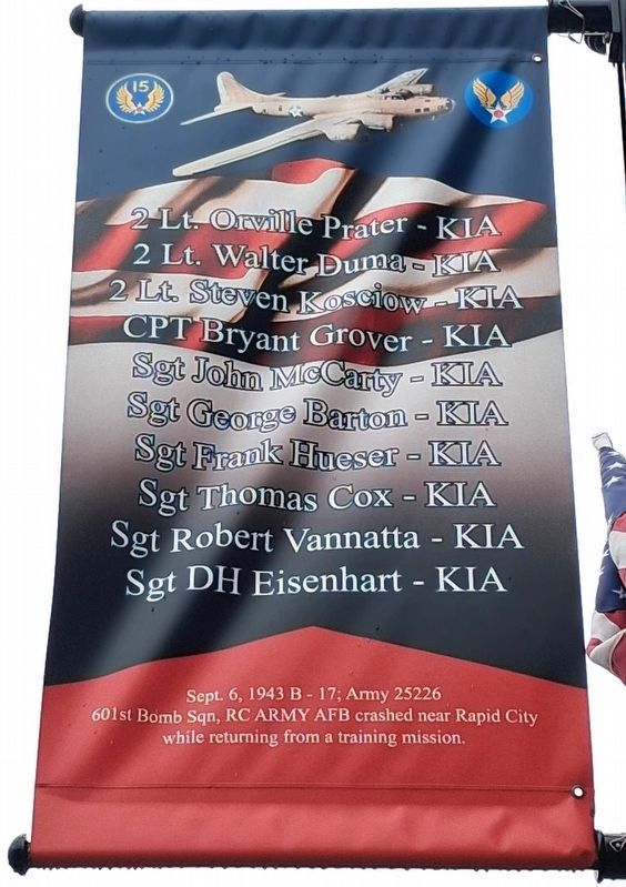
601st Bomb Squadron Army B-17 25226 Crash
Sept. 6, 1943
| — | 15th Air Force • US Army Air Forces | — |
Photographed by William Fischer, Jr., September 20, 2026
1. 601st Bomb Squadron Army B-17 25226 Crash Banner
[C]rashed near Rapid City while
returning from a training mission.
KIA [Killed In Action]
2Lt. Orville Prater • 2Lt. Walter Duma
2Lt. Steven Kosciow • CPT Bryant Grover
Sgt John McCarty • Sgt George Barton
Sgt Frank Hueser • Sgt Thomas Cox
Sgt Robert Vannatta • Sgt DH Eisenhart
Erected by City of Rapid City.
Topics. This historical marker is listed in these topic lists: Air & Space • Disasters • Education • War, World II. A significant historical date for this entry is September 6, 1943.
Location. 44° 4.872′ N, 103° 13.703′ W. Marker is in Rapid City, South Dakota, in Pennington County. It is in Downtown. It is on Main Street (Business Interstate 90) west of 6th Street, on the left when traveling west. Touch for map. Marker is at or near this postal address: 625 Main Street, Rapid City SD 57701, United States of America. Touch for directions.

Regionally, this marker is in West River and in the Badlands. It is also in the American Black Hills, in the Lewis & Clark Corridor, on the prairies, and on the Northern Plains. Globally, it is in North America, the Western Hemisphere, the Western World,
this page online
Other nearby markers. At least 8 other markers are within walking distance of this marker: James Monroe (within shouting distance of this marker); The Growth of Rapid City (within shouting distance of this marker); John Quincy Adams (within shouting distance of this marker); Rapid City's Downtown Historic District (within shouting distance of this marker); Lyndon B. Johnson (within shouting distance of this marker); Rapid City Area Vietnam War Honored Dead (within shouting distance of this marker); The National Humane Alliance Fountain (within shouting distance of this marker); Andrew Johnson (within shouting distance of this marker). Touch for a list and map of all markers in Rapid City.
Photographed by William Fischer, Jr., September 20, 2026
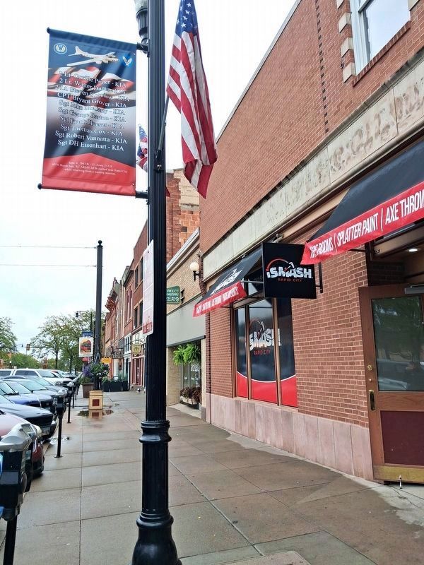
2. 601st Bomb Squadron Army B-17 25226 Crash Banner
Looking east
Credits. This page was last revised on October 12, 2026. It was originally submitted on October 12, 2026, by William Fischer, Jr. of Reynoldsburg, Ohio. This page has been viewed 6 times since then. Photos: 1, 2. submitted on October 12, 2026, by William Fischer, Jr. of Reynoldsburg, Ohio.
