Binnenstad in Delft, South Holland, Netherlands — Northwestern Europe
Armamentarium
Photographed by Andrew Ruppenstein, September 3, 2026
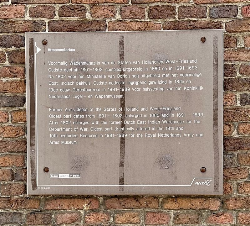
1. Armamentarium Marker

Former Arms depot of the States of Holland and West-Friesland. Oldest part dates from 1601-1602, enlarged in 1660 and in 1691-1693. After 1802 enlarged with the former Dutch East Indian Warehouse for the Department of War. Oldest part drastically altered in the 18th and 19th centuries. Restored in 1981-1989 for the Royal Netherlands Army and Arms Museum.
Erected by ANWB, VVV, Maak kennis in Delft. (Marker Number 63969/001.)
Topics. This historical marker is listed in this topic list: Military. A significant historical year for this entry is 1660.
Location. 52° 0.413′ N, 4° 21.63′ E. Marker is in Delft, Zuid-Holland (South Holland). It is in Binnenstad. It is on Korte Geer, on the left when traveling south. Touch for map.
this page online

Regionally, it is in Europe, the European Union, Atlantic Europe, the Benelux Low Countries, the Schengen Area, Western Europe, and the Western World. Historically, it finds itself in what was once the Roman Empire and specifically also the Holy Roman Empire.
Other nearby markers. At least 8 other markers are within walking distance of this marker: Oost-Indisch Huis / East India House (within shouting distance of this marker); De Papegaai / “The Parrot” (within shouting distance of this marker); Anna Maria Margaretha van der Chijs (1814-1895) (about 120 meters away, measured in a direct line); Oudste ziekenhuis van Nederland / Oldest Hospital in the Netherlands (about 180 meters away); Delft Synagogue (about 210 meters away); Vrije Akademie (approx. 0.3 kilometers away); Museum Paul Tétar van Elven (approx. 0.3 kilometers away); Sint Jansbrug (approx. 0.3 kilometers away). Touch for a list and map of all markers in Delft.
Also see . . . Armamentarium (Delft) (Wikipedia, in Dutch). Excerpt
Photographed by Andrew Ruppenstein, September 3, 2026
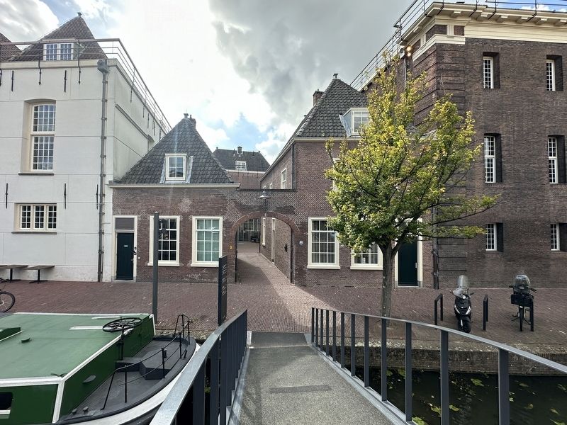
2. Armamentarium Marker - wide view
The marker (not quite visible here) is in the passageway accessible through the arched entrance.
The Armamentarium is a former weapons depot situated between the Oude Delft and the Lange Geer in Delft. It comprises three sections: the oldest part dating from 1602, a northern section from 1692, and an intermediate section. The building is a listed national monument (no. 11971).(Submitted on October 13, 2026.)
To the north of the Armamentarium, on the Oude Delft side, stands the former warehouse of the East India Company. In 1802, the warehouse came into the possession of the War Council of the Batavian Republic and was incorporated into the Armamentarium. It was subsequently fitted out as a paint shop and a saddler's workshop, with storage areas for materials such as leather, rope, and canvas.
In 1811, Emperor Napoleon visited the Armamentarium. He appropriated two richly decorated cannons—cast in 1669 by the gun founder Albert Benningk from Lübeck—and had them transported to Paris.
The original building lost its stepped gables around 1830. Around 1900, the complex ceased to function as a weapons depot.
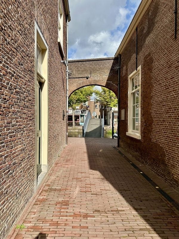
After the Second World War, the Armamentarium served for three years as a prison for collaborators. Subsequently, it became an Armystorage facility for study materials, primarily abandoned German weaponry. In the 1960s, the majority of the complex served as an annex to the Army Museum in Leiden; the museum itself was housed within the Armamentarium from 1986 to 2013. After that, a hotel, a restaurant, and a conference center were built.Photographed by Andrew Ruppenstein, September 3, 20263. Armamentarium Marker - passageway viewStanding in the passageway, looking back out to the street, the marker is visible here on the right, with a black commemorative plaque opposite to it on the left.
Photographed by Andrew Ruppenstein, September 3, 2026
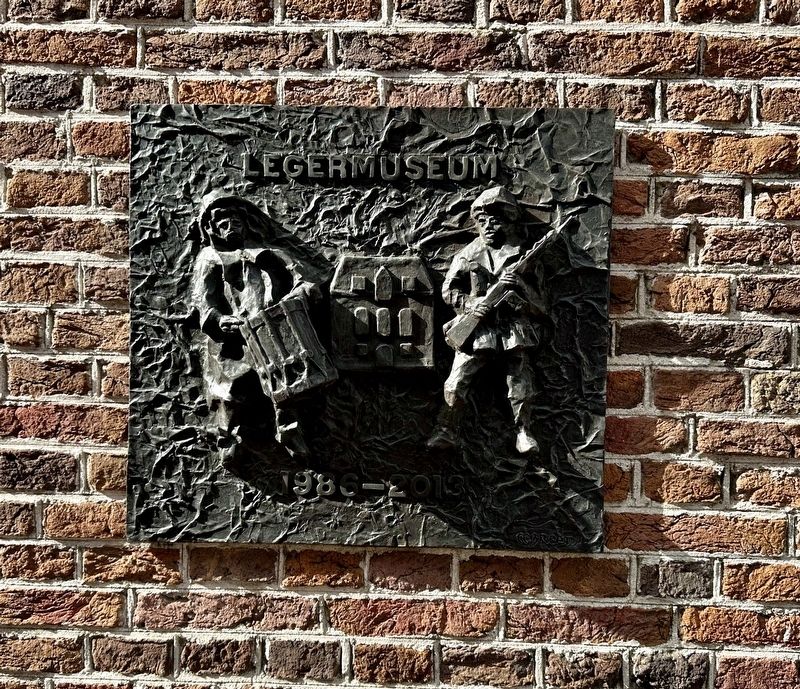
4. Military Museum commemorative plaque
Opposite the marker is a small plaque commemorating the 1980-2013 period during which the Armamentarium housed a military museum.
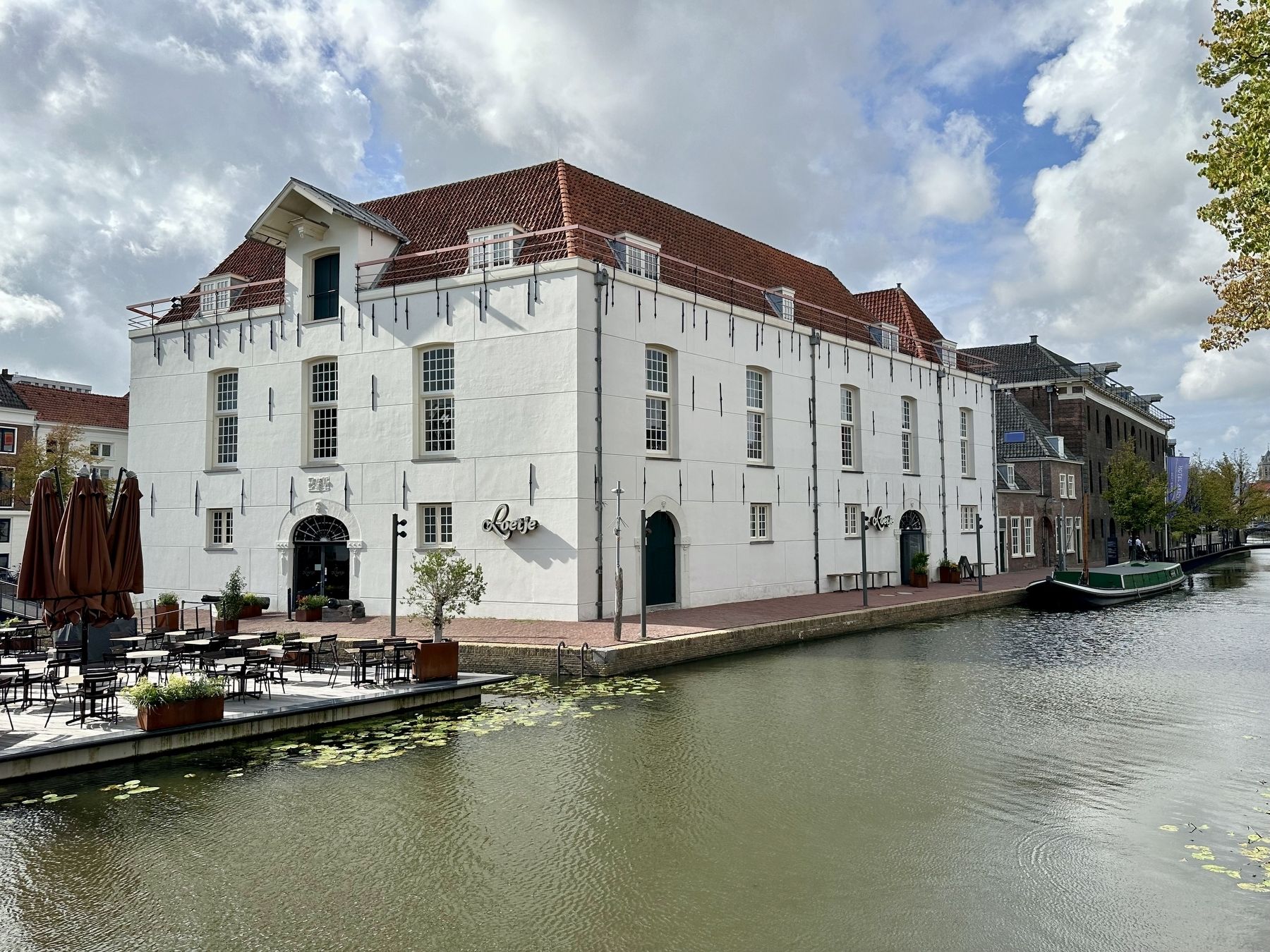
Photographed by Andrew Ruppenstein, September 3, 2026
5. The former Armamentarium - view from the south
Credits. This page was last revised on October 13, 2026. It was originally submitted on October 13, 2026, by Andrew Ruppenstein of Lamorinda, California. This page has been viewed 5 times since then. Photos: 1, 2, 3, 4, 5. submitted on October 13, 2026, by Andrew Ruppenstein of Lamorinda, California.
